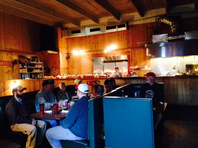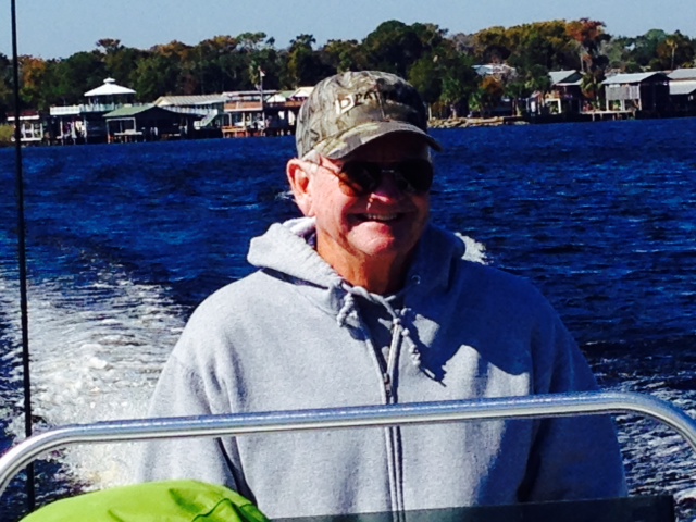
Post #39, SWIMMING WITH MANATEES IN THE WILD, Day 203, November 23, 2014. On board: Paul, Jim K.
Did you know that the closest living relative to a manatee is the elephant? The two species share a number of similar and unique physical and biological functions which indicate that the two species are related, evolving quite differently from the same ancient ancestor.
Manatees are mammals, which means they breathe air and give live birth to their young (as opposed to eggs or larvae or some other multi-phase process). A baby manatee (calf) weighs about 60 pounds when born after a year-long gestation period in it’s mother’s womb. Adult manatees live up to 60 years, measuring up to 13 feet long and weighing up to 1300 pounds! They generally swim about 3-5 mph, but can accelerate up to 20 mph for short bursts – don’t get in the way of a 1300 pound manatee traveling at 20 mph! They spend approximately 50% of their time sleeping submerged, surfacing for a breath of air every 20 minutes or so. They spend most of the rest of their time grazing on underwater plants in shallow water, in which they will usually eat 10-15% of their body weight EACH DAY, which translates to about 7 hours per day eating. That’s a lot of salad! They also perform their one other goal in life – mating. Eat, sleep, mate – it sounds like quite a good life – until you realize that they only mate about once every two years.
Manatees are generally solitary animals, and are also quite intelligent – similar to dolphins, they possess long term memory (like an elephant) and are capable of complex learning. They communicate via a wide range of sounds, mostly between mother and calf or during play or during the mating ritual (I can only imagine what they might be saying after waiting for two years to mate (“Remind me again – what do we do next” or “Let’s try to make this LAST”).
Manatees are listed as an Endangered Species – their primary threat is collisions with powerboats or ships, and loss of habitat. All boaters in Florida are familiar with “idle speed only” manatee zones, designed to minimize collisions with manatees in areas where there they are known to hang out.
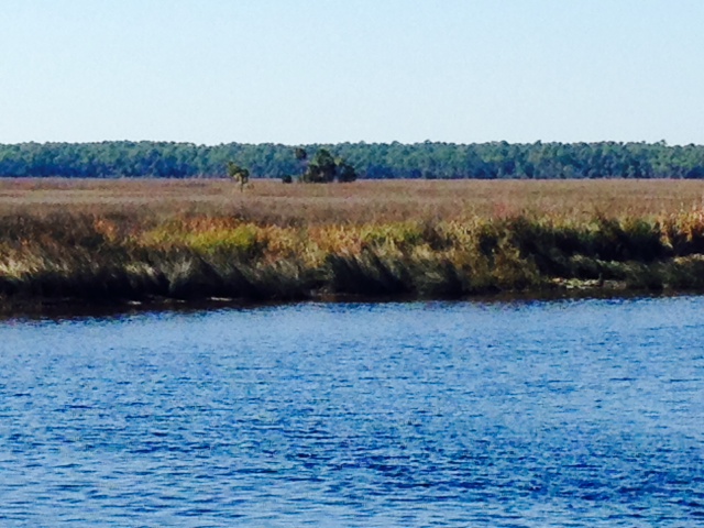
So much to our surprise, we learned that Crystal River is reportedly the only place in the world – certainly it is the only place in the U.S. – where it is legal to swim with manatees in the wild! The town of Crystal River is located 8 miles up the river itself, which originates from a cluster of 50 natural springs that feed King’s Bay at the head of the river. Because it is spring-fed, King’s Bay, resembling a small lake at the terminus of the river, maintains a constant temperature of 72 degrees year round. Manatees do not like cold water – they therefore seek areas of relatively warm water to hang out in the wintertime. Thus, King’s Bay and Crystal River are home to over 400 manatees during the winter. So, of course, since we’re in Crystal River, we had to experience swimming with the manatees firsthand. Here are some images:
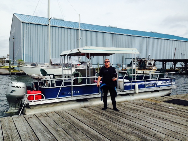
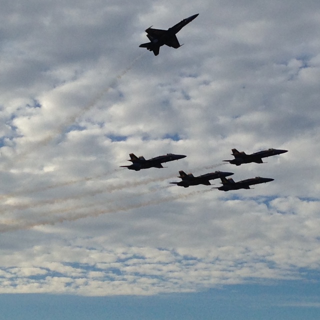
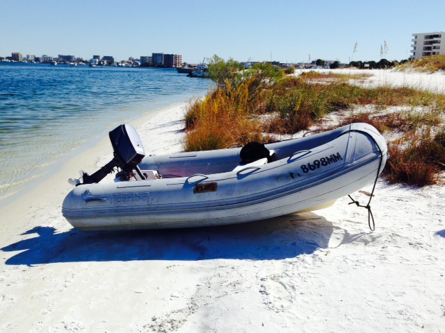
While it is permitted to take your dinghy and go on your own into the area of the springs where the manatees hang out, there are guides who know the best place to go at any given time and who provide wet suits, snorkel equipment, etc., so it is a far better experience for a first-timer to go with a guide. Our guide was Jeff from Double J Adventures and this is his boat. He and his wife, also a guide, started the business two years ago and provide vey personal service – we were the only two on the boat and Jeff took these pictures with his underwater camera, then put them on a CD for us.
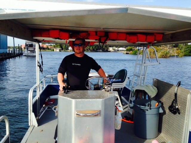
Jeff guiding the boat to the springs in search of manatees
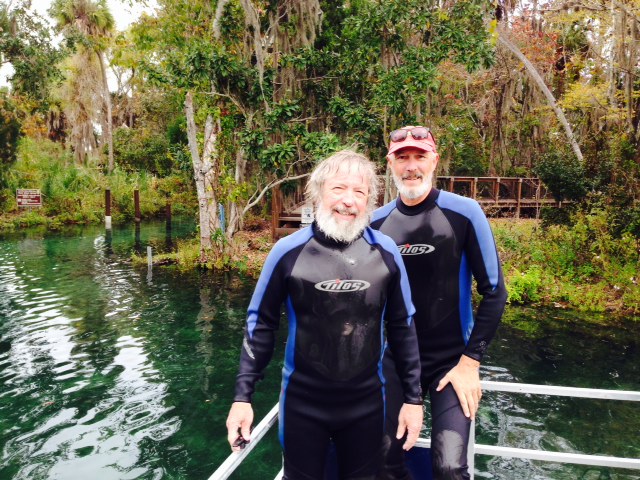
Paul & I in our wetsuits, preparing for the swim

If this won’t scare away a manatee, nothing will….

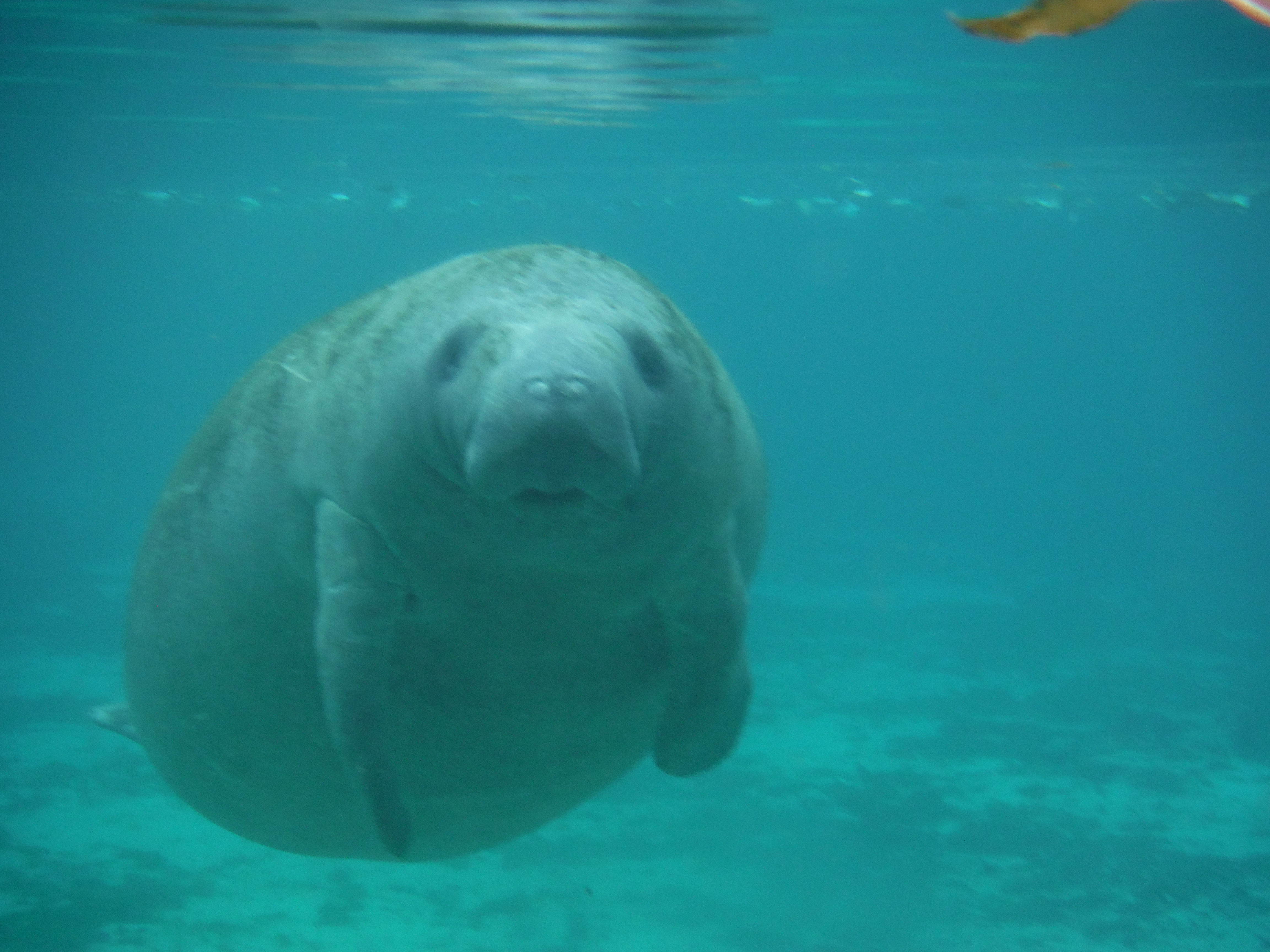
It’s a staring contest – who will look away first? Ok, you win…
A face only a mother could love…
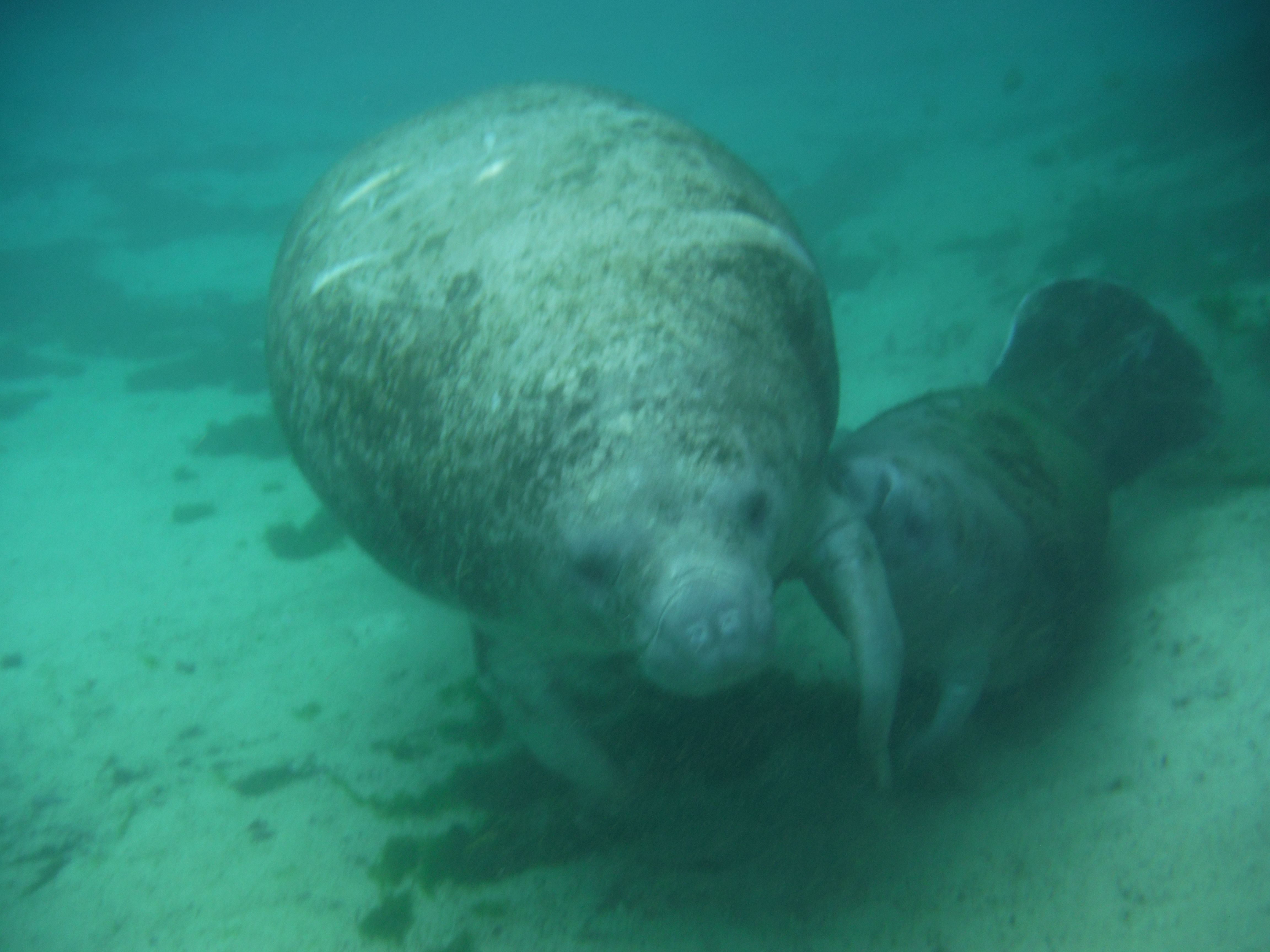
Manatees propel themselves with their tail, then steer with their two front flippers

A mother with her calf, who stays with the mother and nurses for 12-18 months
A mother nursing her calf – the mother’s breast is located beneath the her flipper
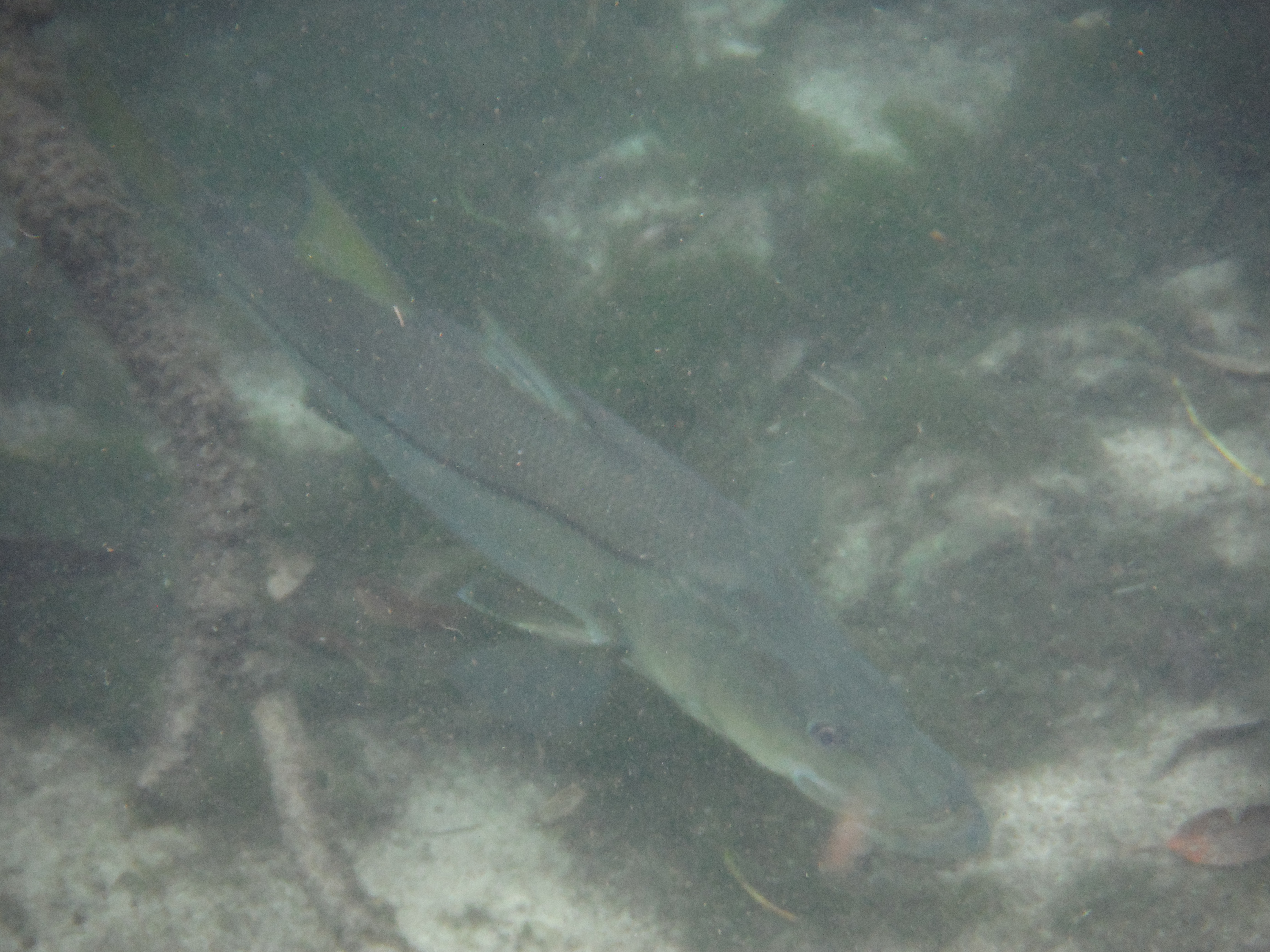
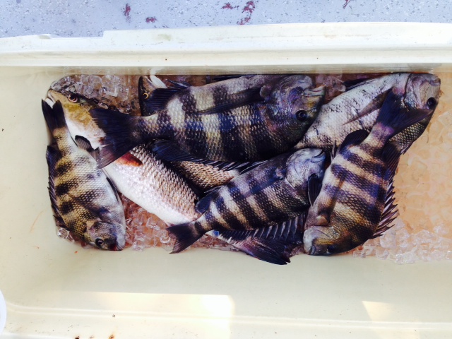
In addition to the manatees, we saw many fish – this is a good-sized snook that swam beneath us. Where is my fishing rod when I need it?
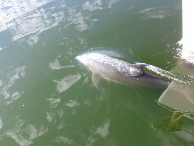
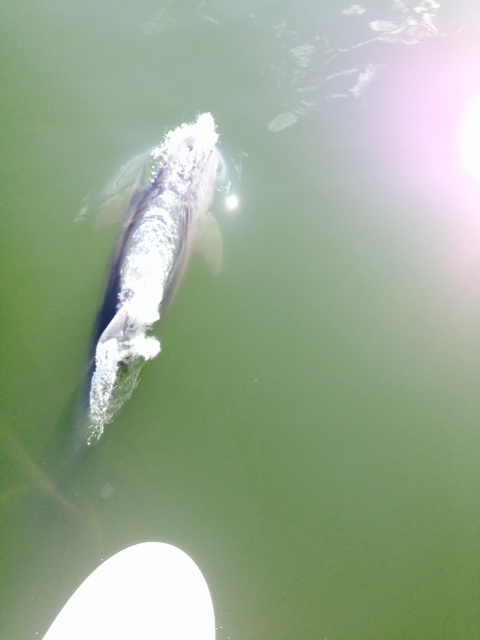
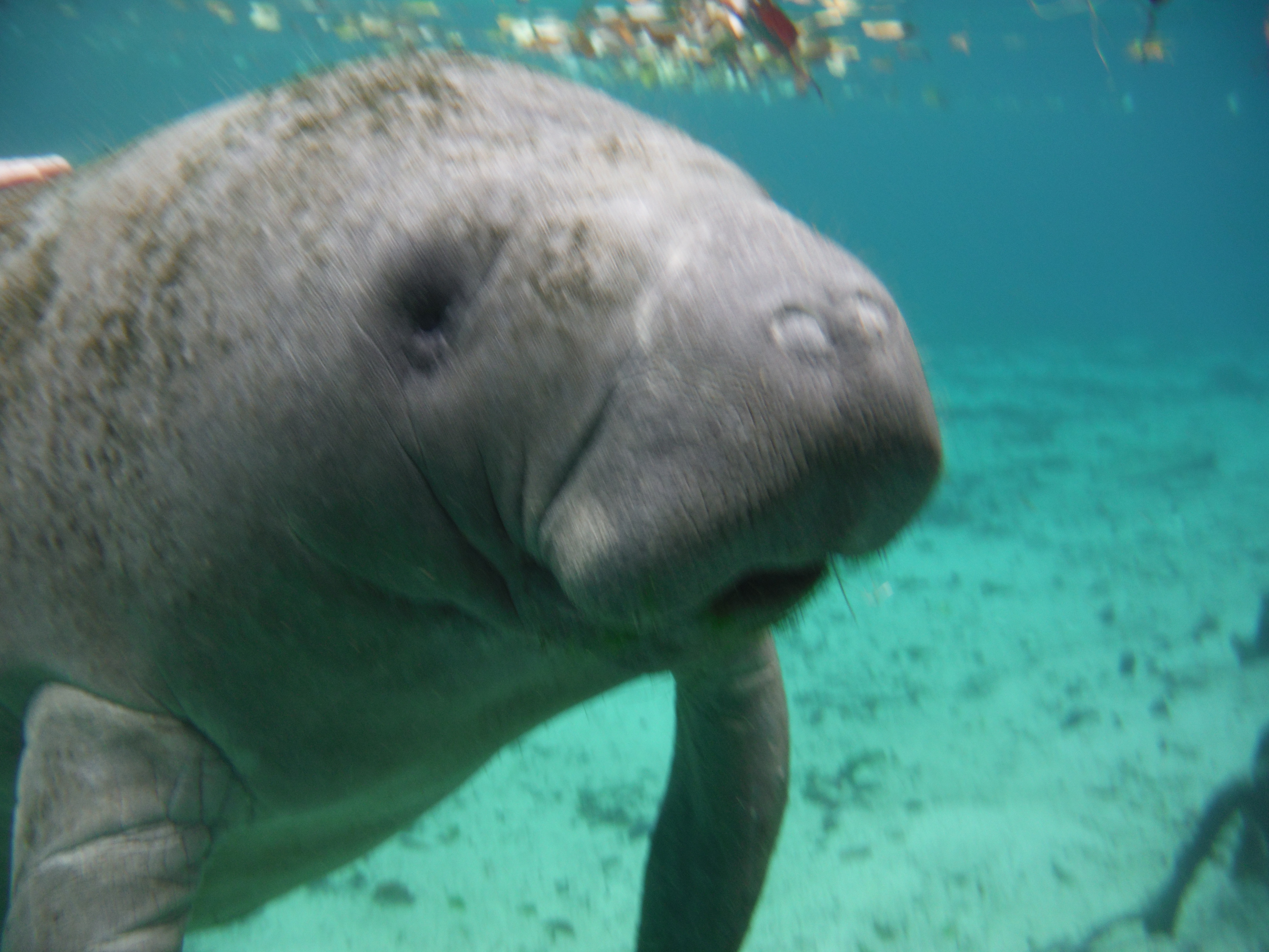
There are very strict rules regarding behavior while swimming with the manatees – the swimmer is to be a passive observer unless the manatee initiates interaction, in which case touching the manatee is allowed. As it was explained to me, some manatees have no interest in interacting, similar to how some cats tend to shy away from close interaction with people. Other manatees are curious and will, at times, initiate and seem to enjoy interaction. I was fortunate in that a large manatee swam up to me while I was hovering, and she clearly wanted to interact:
This manatee approached me with focused curiosity – maybe it was the beard…our first interaction was the stare-down.
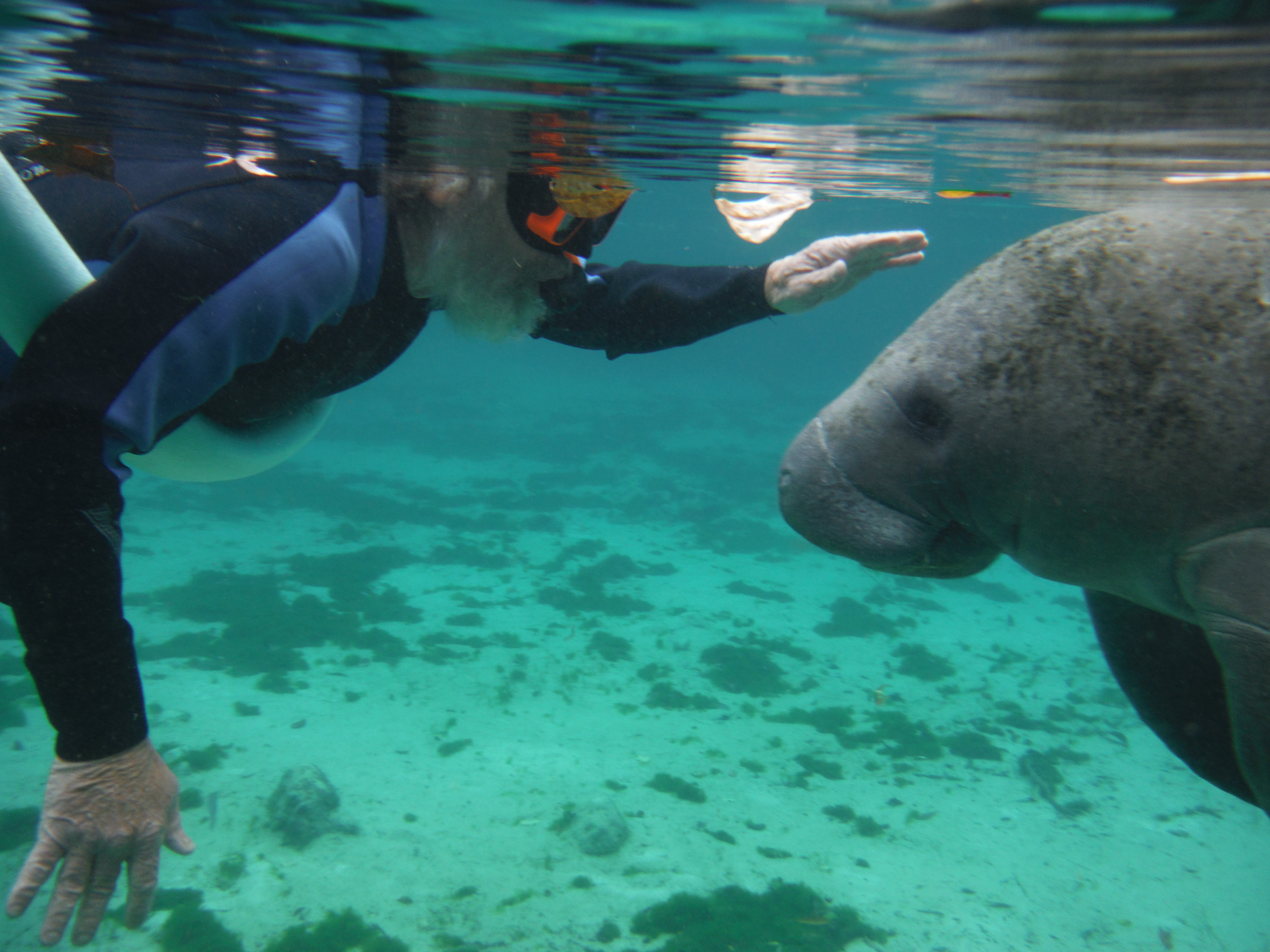
She hung around, seemingly waiting to be petted, so I did – she seemed to like it!

Congratulating her on winning the stare-down…
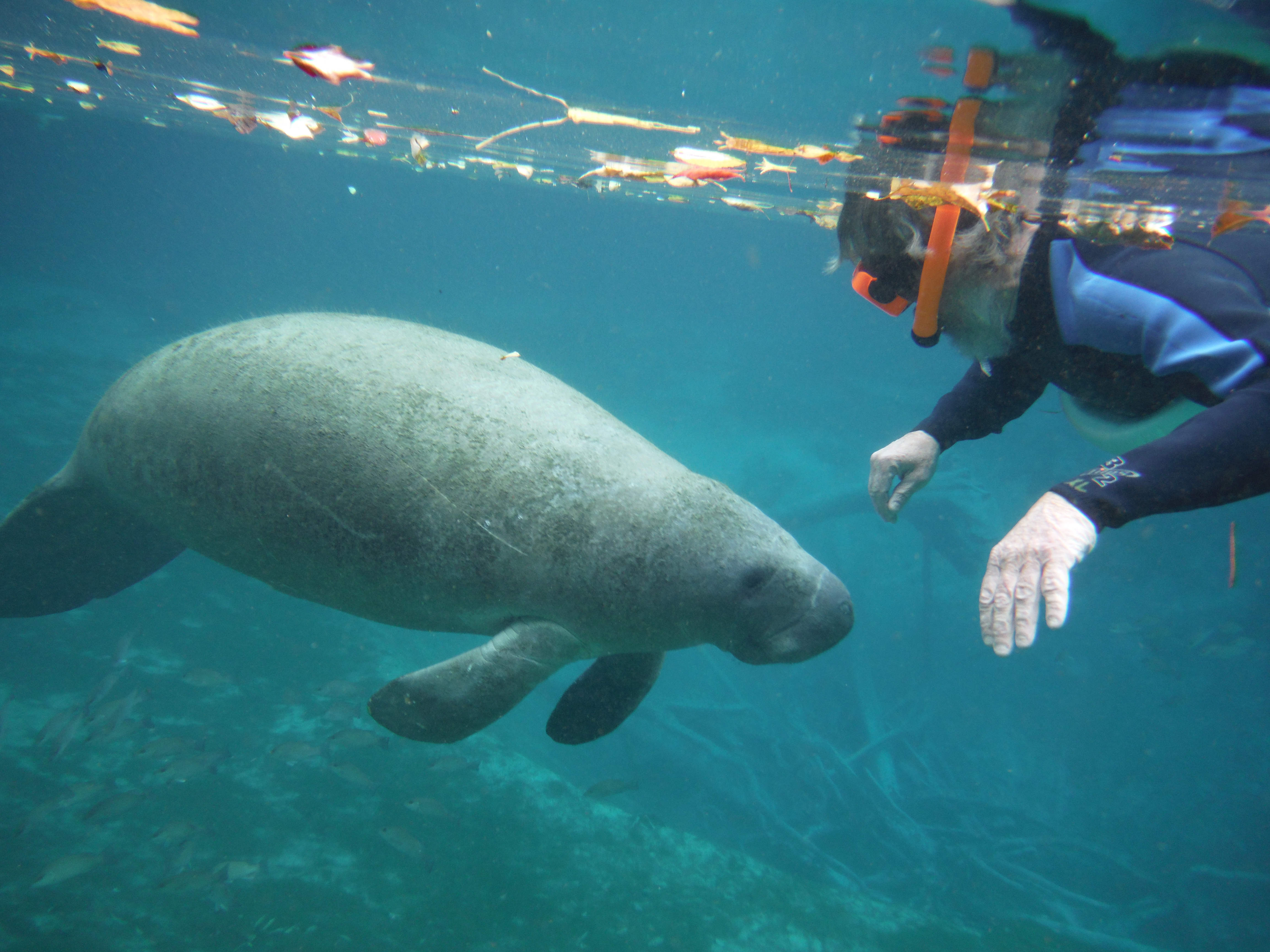
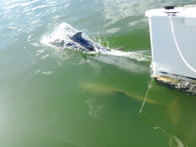
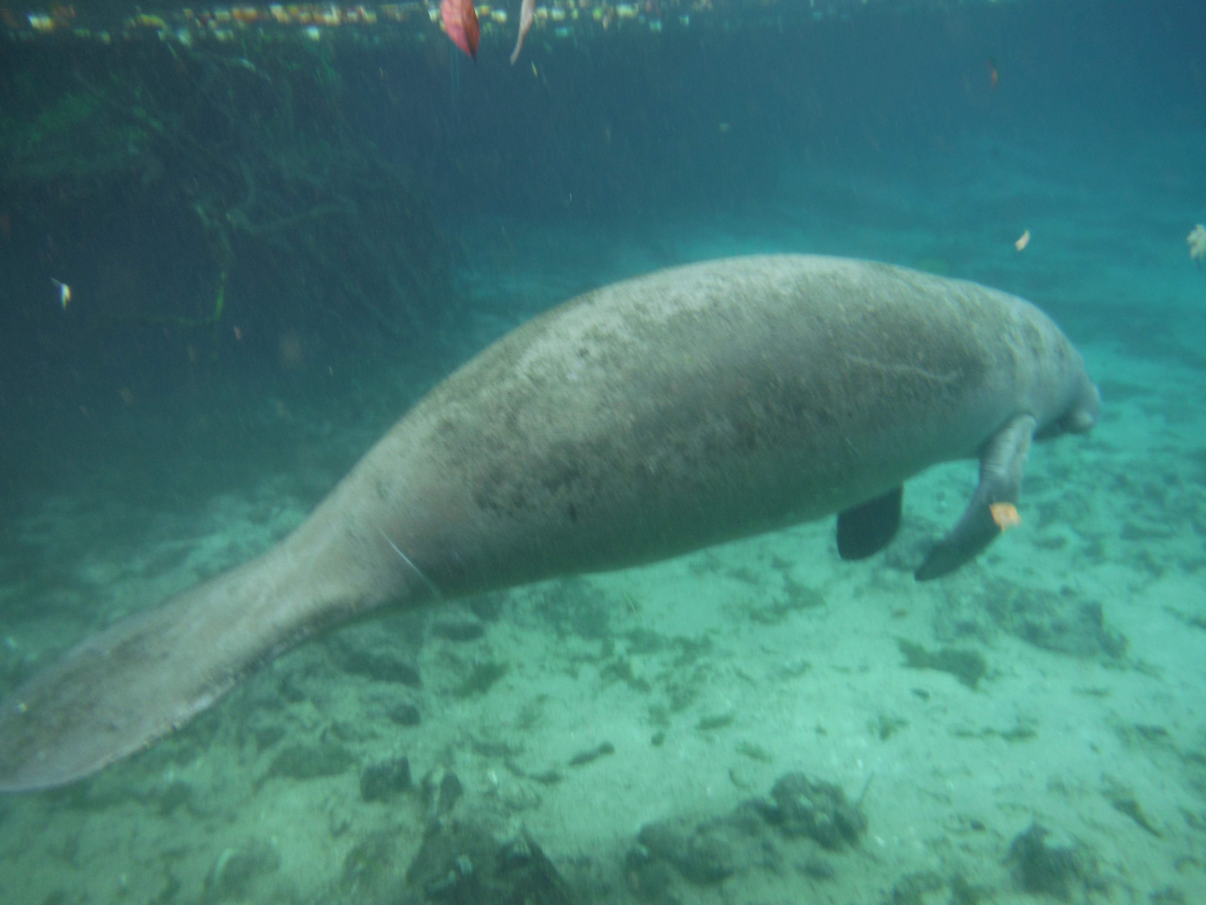
She then started to swim directly under me – for a minute I thought I was going to get a ride…

She hovered seemingly waiting to be petted

Her skin is surprisingly rough

She then turned sideways to me so I could pet her back – she stayed still for about two minutes while I pet her like a dog, which she clearly seemed to enjoy
By the way, I keep referring to these behemoths as “she” – I have no idea whether any of them (except the mother with the baby) is a he or she. However, I wasn’t about to try to put myself in a position to find out…
If you want to swim with the manatees, Crystal River is only about a 1 1/2 hour drive from Tampa/St. Pete. You can do so year-round, although I imagine it is much better in the winter since the manatees come up the river at that time to escape the colder water of the Gulf. Call Jeff or Joanne at Double J Adventures, 352 445 2483.
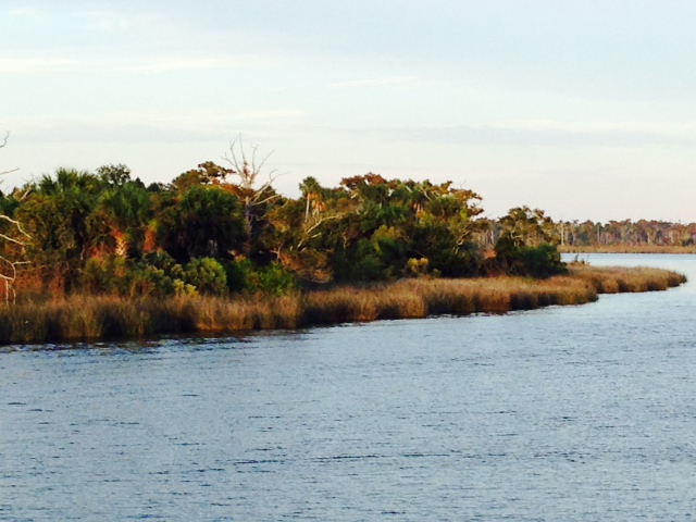
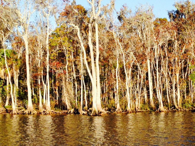
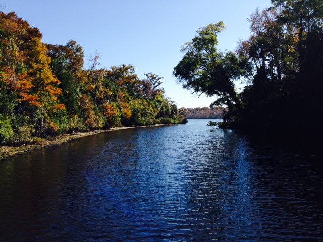
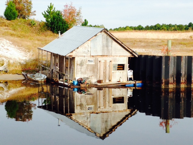
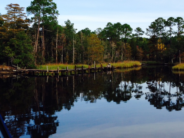
So Crystal River was our first stop after we left Suwannee, and our last stop along the Big Bend. We left Suwannee at first light last Sunday about 2 hours before high tide, with a goal of reaching the mouth of Crystal River a couple of hours before low tide there, since there had been shoaling reported in the channel and in the 8 mile run up the river. Conversations with the local Boat US/Tow Boat operator provided some additional “local knowledge”, and we had no difficulties. The town of Crystal River is notably larger than our previous stops on the Big Bend, with a population of about 3,000 (still a small town). It’s economy is focused on tourism, supported by the manatees and by water sports and boating centered on King’s Bay. There is some fishing, but it does not dominate the culture as it did in the other Big Bend towns of St. Marks, Steinhatchee, or Suwannee. Here are some images:
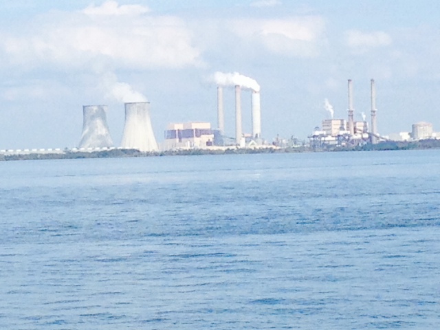
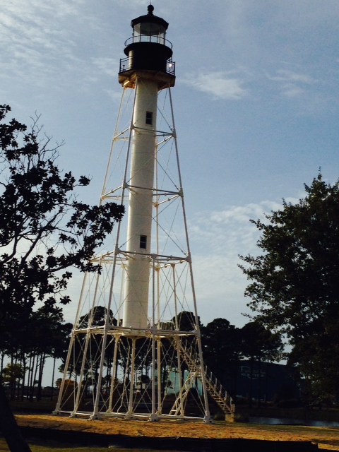
The Crystal River power plant located on the Gulf at the mouth of Crystal River. The nuclear reactor was permanently shut down in 2013 after a gap in the concrete containment building was discovered during a routine maintenance and upgrade. The gap was apparently caused earlier when workers cut the concrete containment to replace a generator. The four coal-fired plants on the site continue to operate. As you can see, the image of the power plant dominates the view as you approach the mouth of Crystal River from the Gulf.

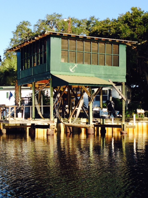
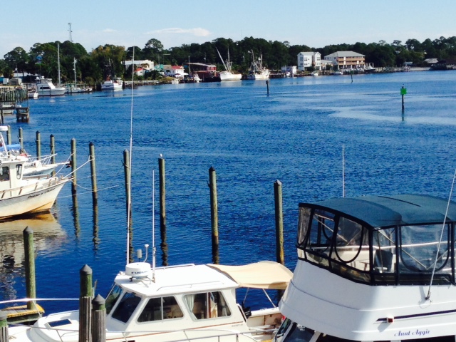
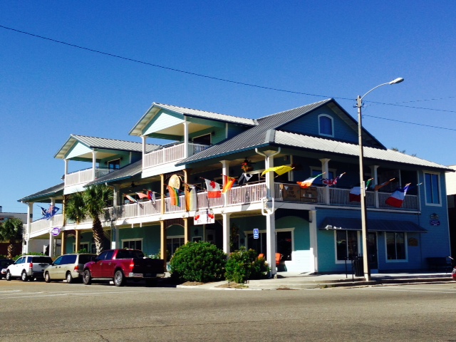
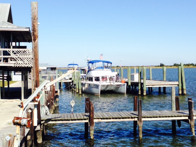
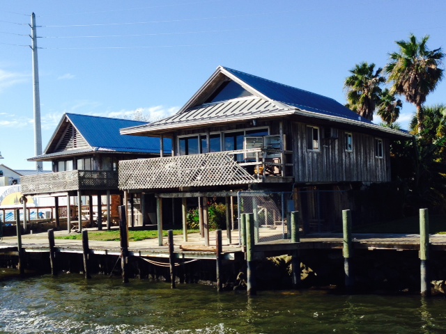
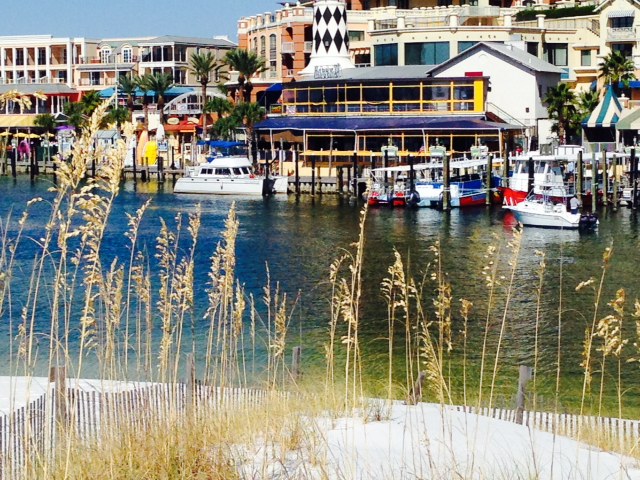
Pete’s Pier, the marina where we stayed at King’s Bay, at the headwaters of the Crystal River 8 miles by water from the Gulf. Double J Adventures operates from Pete’s Pier as well.
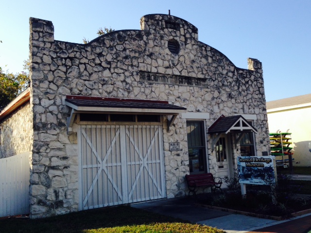
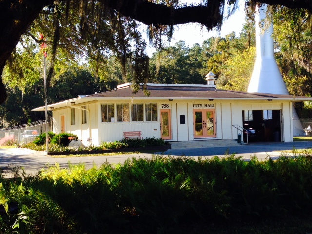
The original City Hall building in Crystal River, built around 1939, now houses a small, interesting museum focused on the history of Crystal River.

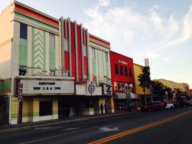
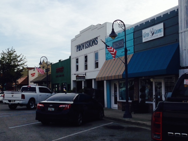
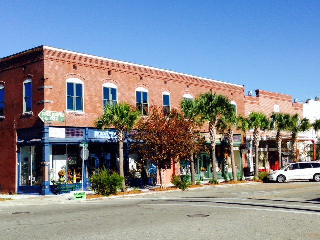
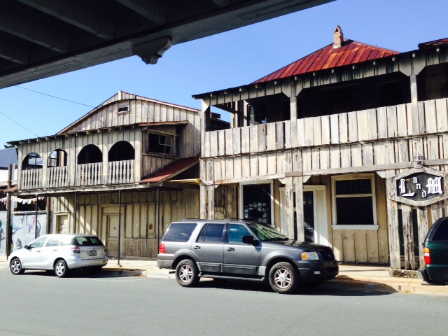
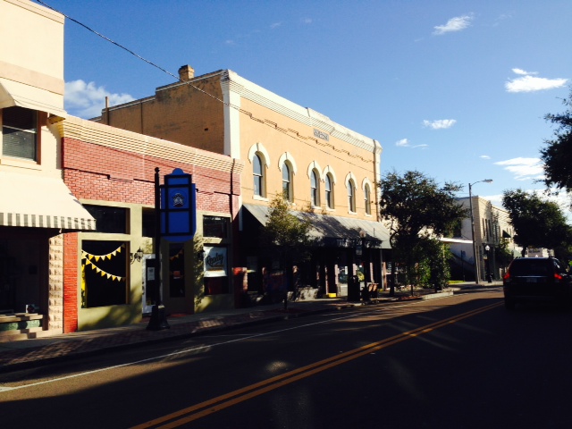
There is an interesting street in the village that contains many historic buildings from the turn of the century, which now contain a few shops and some small businesses and offices

This is the historic train depot, also built in the early 1900’s after the first depot burned down. There are also some historic train cars on display at the depot as well.

I’ve been trying for some time to get a representative picture of the many magnificent Live Oaks draped with Spanish Moss that are prevalent in Florida and other places in the southeast. While no picture I have taken do these stately trees justice, here is an example

“Florida Cracker” refers to English or American pioneer settlers from colonial times and their descendants. They started to arrive after Spain ceded Florida to Britain following the end of the French & Indian War in 1763. Since the influx of Northerners after World War II following the widespread use of air conditioning, some whose family has been here much longer describe themselves proudly as “crackers”. Others view the term as offensive and insulting since it usually describes poor southern whites. The owner of this pick-up seems to be in the former group.
As we have moved through various parts of the country, it’s fascinating to see the different attitudes regarding alcohol. In some areas, there is tight regulatory control over the sale and use of alcohol (such as in Massachusetts). In other areas, you can walk into a gas station and buy a can of beer from a tub of ice next to the cash register when you pay for your gas. In many parts of the south however, particularly in Alabama and Mississippi, you cannot buy alcohol at all – many towns and/or counties are completely dry. But I had a unique experience in Crystal River, now that I’m in Florida – I went into a large liquor store and asked the clerk where I could find a bottle of Bailey’s Irish Cream. “Have you ever had Michael’s Irish Cream – it’s better and $2 cheaper”, he said. “No, I think I’ll stick with the Baileys”, I replied. “It really is better – would you like to try a sample?” he asked. “What?” “Would you like a sample?” “Uhh – sure”. So he took a bottle of Michael’s Irish Cream off the shelf, opened it, poured some in a glass and handed it to me to drink. He then poured samples and handed them to several other customers in the store who happened to walk by. I knew I was surely in Florida. I bought the Michael’s.
So we stayed an extra two days in Crystal River due to windy weather (not to mention cold – it was 27 degrees in the morning!). We therefore rented a car and drove to Yankeetown then Cedar Key, the only two Big Bend stops that we had bypassed. Yankeetown proved to be no more than a wide spot in the road a few miles from the river, and the marina where we would have stayed was remote and in very poor condition:

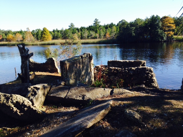
The marina in Yankeetown had some boats in some of the slips, but was in general disrepair and was locked up when we stopped by – fortunately we had decided to bypass this stop with the boat even though it has deep water access without having to worry about the tides
We then drove to Cedar Key (accessible by bridge), which proved to be a fun, funky, artsy island community with shops, restaurants, pubs, and interesting old buildings. We had lunch and, of course, ice cream as we walked around and took in the sights of the town. Here are some images:
The architecture is varied, with many of the buildings dating back to the early 1900’s


These restaurants and shops overlook the water with spectacular views of a nearby island and the Gulf

This building also overlooks the Gulf
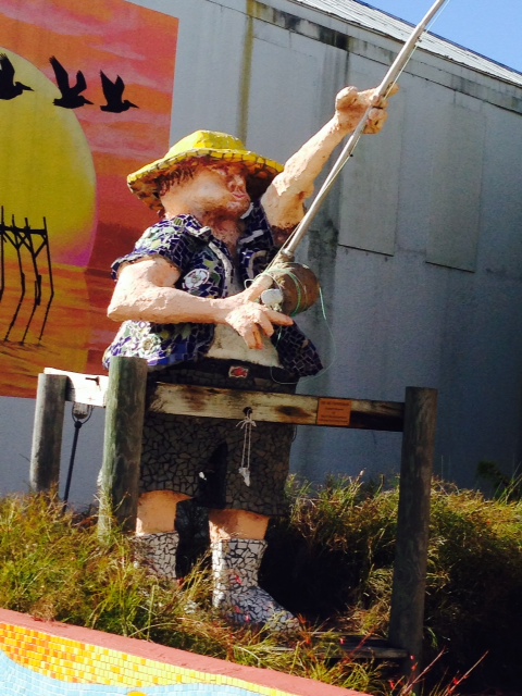
For some reason, this guy didn’t seem to be catching much…however, I can relate to the look on his face from my fishing experiences…

This large sign was on a big grey wall along the main street in town. The sign next to it says “Spin to Read”. See if you can read the message – start at the bottom –
The forecast was finally for lighter winds Thursday morning – however, the tide schedule was challenging. Low tide occurs 2 1/2 hours LATER at the upper end of the Crystal River than it does at the mouth, 8 miles downriver. There is a shoal a short ways from the end of the river where we were docked, and another one at Shell Island, at the mouth of the river. We therefore left at first light to get past the first shoal before the tide got too low, but then had to dawdle for a couple of hours to wait for the tide to fill in at Shell Island at the mouth of the river. On top of that, when we cast off at first light, the temperature was 29 degrees and there was ICE on the decks – we had to hold onto the railings to keep from falling on the ice as we collected the docklines and cast off. I thought we were in Florida! The net result was a long, 11 hour day, for we had a 60 mile run to Tarpon Springs after we finally cleared the channel – we left at first light and pulled into the dock at Tarpon Springs at sunset.
Tarpon Springs marks the official end of Florida’s “Big Bend”, and marks the resumption of the protected waters of the Gulf Intracoastal Waterway. You may recall from previous posts that southbound trawler-type boats have a choice of crossing the Big Bend via a 20-hour overnight passage of about 175 miles or taking the “hopscotch” route and stopping at various harbors along the way, as we did, which adds about 100 miles to the trip. The overnight trip requires a 2-day weather window of light winds and favorable weather. A flotilla of boats left Carabelle on the same day that we left on the “hopscotch route” two weeks ago, and had a pleasant passage. Unfortunately for those boats that arrived at the start of the Big Bend a day or two later, the favorable weather window slammed shut – there are now about 25 boats that have been waiting for another weather window for two weeks now, and are expected to have to wait at least until the coming weekend before they can cross, and will spend Thanksgiving wherever they are. Welcome to boating!
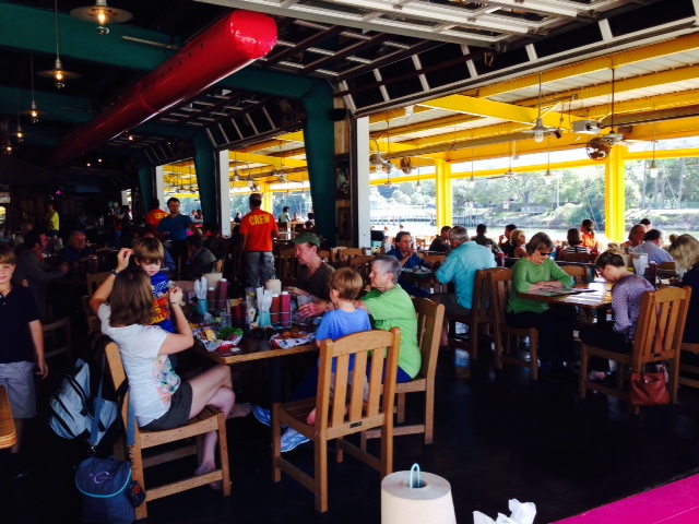
Tarpon Springs is a sizable tourist town with two dominant themes, which are related to each other. First, it has the highest percentage of Greek Americans of any city in the United States. As a result, it is known for it’s many Greek restaurants which are reputed to be some of the best Greek restaurants in the nation. Second, it is known for the harvesting of sponges, in which early Greek immigrants played a critical role.
Tarpon Springs was first settles in 1876 by both white and black fishermen and farmers. They named the new settlement “Tarpon Springs” when they observed many tarpon jumping out of the water. In the 1880’s, the harvesting of sponges began and grew – sponges grew naturally in the shallow waters of the Gulf adjacent to the settlement. The harvesting of sponges was a significant industry in Greece at the time, so a number of Greek immigrants were attracted to Tarpon Springs to work in the sponge industry. In 1905, a Greek entrepreneur introduced sponge diving as a more efficient method of harvesting sponges, and he recruited divers and their crews from Greece to come to Tarpon Springs to harvest sponges. As a result, the Greek population increased dramatically. Thus, the two dominant themes in the city today – Greek culture and sponges – stem from the origins of Tarpon Springs and the relationship between those two forces that was forged over 100 years ago.
Here are some images from our stay in Tarpon Springs:

You have your pick of literally dozens of Greek restaurants, all reputed to serve great, authentic Greek food

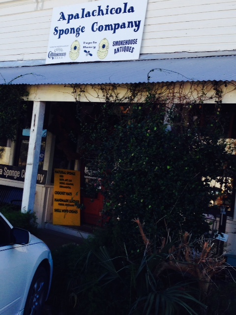
In addition to Greek restaurants, sponges are everywhere – in every gift shop, in dedicated sponge stores, in the “Sponge and Soap Museum”, etc. You can even go on sponge tours in which harvesters take you on their boat and you observe the harvesting of sponges in the Gulf waters

Spongeorama???

Sponges of every size and shape are available in the many gift shops along the waterfront, from utilitarian sponges which are said to be superior in their characteristics to the manufactured sponges that most of us use, to sponges intended for ornamentation, to sponges made into useful items, such as waste baskets for your bathroom

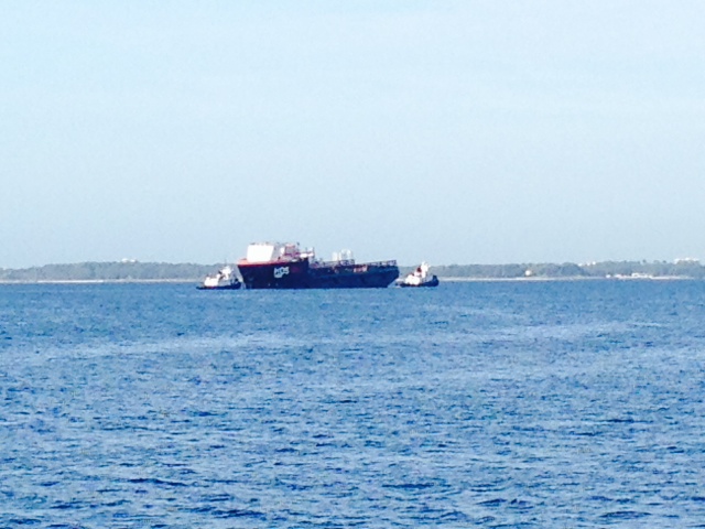
One of the many sponge harvesting boats on its way into the harbor – notice the bundles of sponges tied to the roof. Sponge boats come in all shapes and sizes

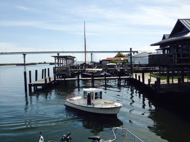
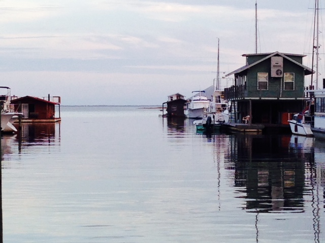
The city of Tarpon Springs is located about 3 miles up Anclote River. The harbor is fairly narrow and is lined with boats of every description, many rafted 5 and 6 boats deep due to limited space within the harbor

This statue of a diver on the waterfront commemorates the importance of sponge diving to both the history of Tarpon Springs and its current economy
In addition to the waterfront along the harbor that is lined with Greek restaurants and sponge & gift shops, there is a historic downtown in Tarpon Springs that is quite interesting with architecture dating back to the late 1800’s and early 1900’s
This Mediterranean-style building in downtown Tarpon Springs was built in the 1920’s as the Howard Hotel. It has now been restored and converted into commercial space, and is on the National Register of Historic Places
The city has several residential neighborhoods surrounding the downtown area in which the architecture of the houses clearly reflect their Greek heritage

Another house reflecting its Greek heritage

No Greek community would be complete without an iconic Greek Orthodox church

WOW! Do you really think he lived here?

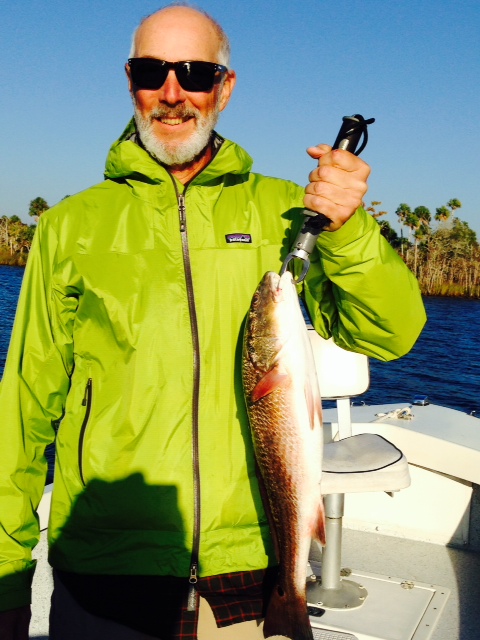
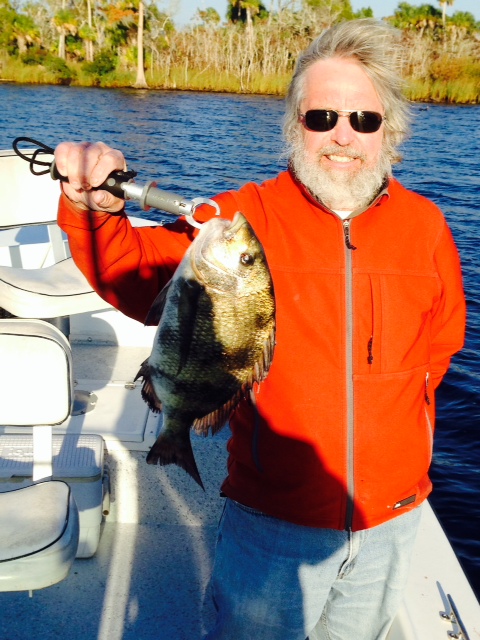
So we went fishing while we were in Tarpon Springs and finally caught The Big One….(OK, so we didn’t…)
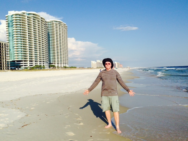
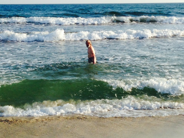
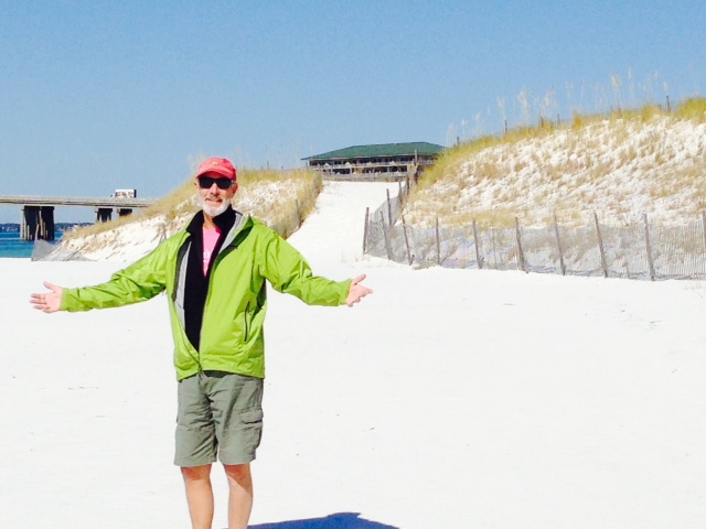
Our next stop was Clearwater Beach, about 15 miles south of Tarpon Springs. Talk about culture change from our experiences along the Big Bend over the past week and a half! Clearwater Beach is a sprawling, new, modern, resort area with high rise condominiums, street performers, restaurant chains, and resort-type activities. The wide beach is truly spectacular with fine, white sand. Here are some images:
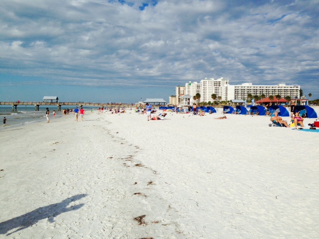
The beach and pier at Clearwater Beach. It was breezy and a bit cool the day we were there, so the beach wasn’t crowded

The beach as the sun was setting, taken from the pier
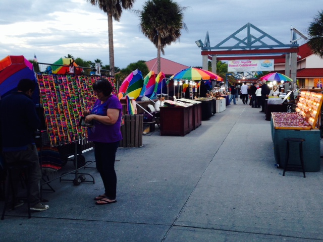
Street vendors lining the long pier known as “Pier 60”

The colorful umbrellas are ordinarily used by the street vendors on the pier to shade them from the sun – however, it was breezy and mostly cloudy the day we were there, so the vendors used the umbrellas instead to block the wind, creating a colorful scene

One of the many tourist-type activities is this “Surf Machine” – water is jetted up the surface of the fiberglass “wave” so you can surf on it, moving up or down or being stationary. I don’t think I would want to be their insurance carrier…
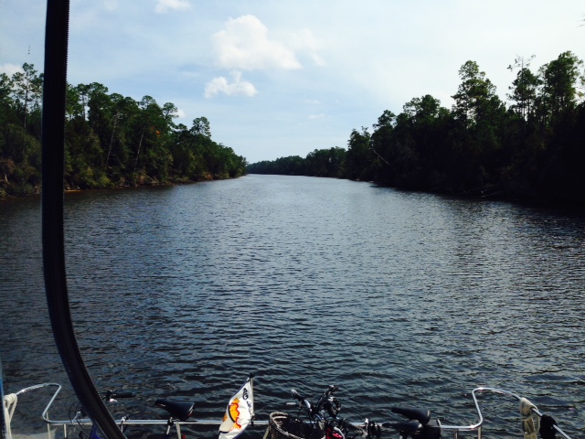
The section of the Gulf Intracoastal Waterway from Tarpon Springs to St. Petersburg for the most part runs directly behind the barrier islands with the Gulf beaches just on the other side of the islands. Here are some images:
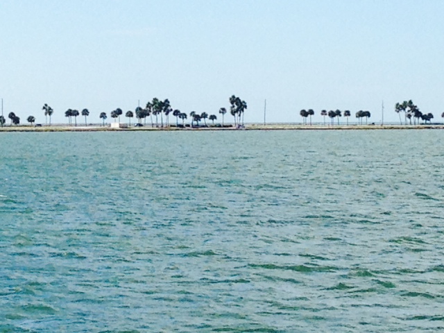
The Intracoastal in this location is separated from the Gulf only by a narrow spit of beach with some palm trees on it. This picture reminded me of the Corona commercials “find your beach” theme
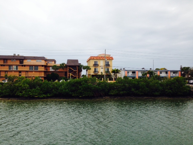
Running along the Intracoastal, you can identify the areas that are newly developed, characterized by glitzy high rise condominiums such as those in Clearwater Beach, and areas that were developed in the 50’s or 60’s or perhaps the early 70’s, characterized by utilitarian three or four story buildings that might have originally been built as apartments or motels, now mostly converted to condominiums – basic housing but still million-dollar views and beaches

An unwelcome sight on the Intracoastal – this is not a derelict boat that was abandoned or neglected and eventually sunk, but a fairly new cruiser that recently took on water until it sunk and is sitting on the bottom – I have no idea why
On Saturday, our run of about 40 miles from Clearwater Beach to Saint Petersburg was marked by cloudy weather but no rain, and 15 knot winds with gusts to 20. Though not a problem on the protected areas of the Intracoastal Waterway, we were confronted with 3′-5′ waves once we entered the wide and open waters of Tampa Bay. We picked our way slowly up the bay to St. Pete, carefully managing the angle of the boat to the waves (catamarans don’t like waves on the beam). However, we reached the marina in downtown St. Pete without incident, where we are leaving the Joint Adventure for a week over the Thanksgiving holiday. As I write this on Sunday morning, I’m preparing to leave for the airport and a flight home.
Happy Thanksgiving to you and yours!