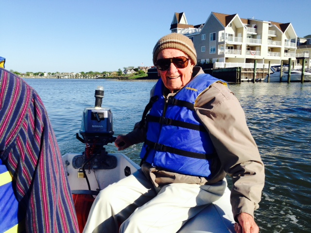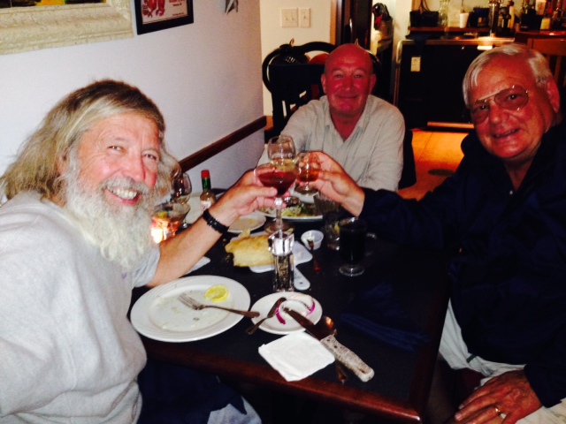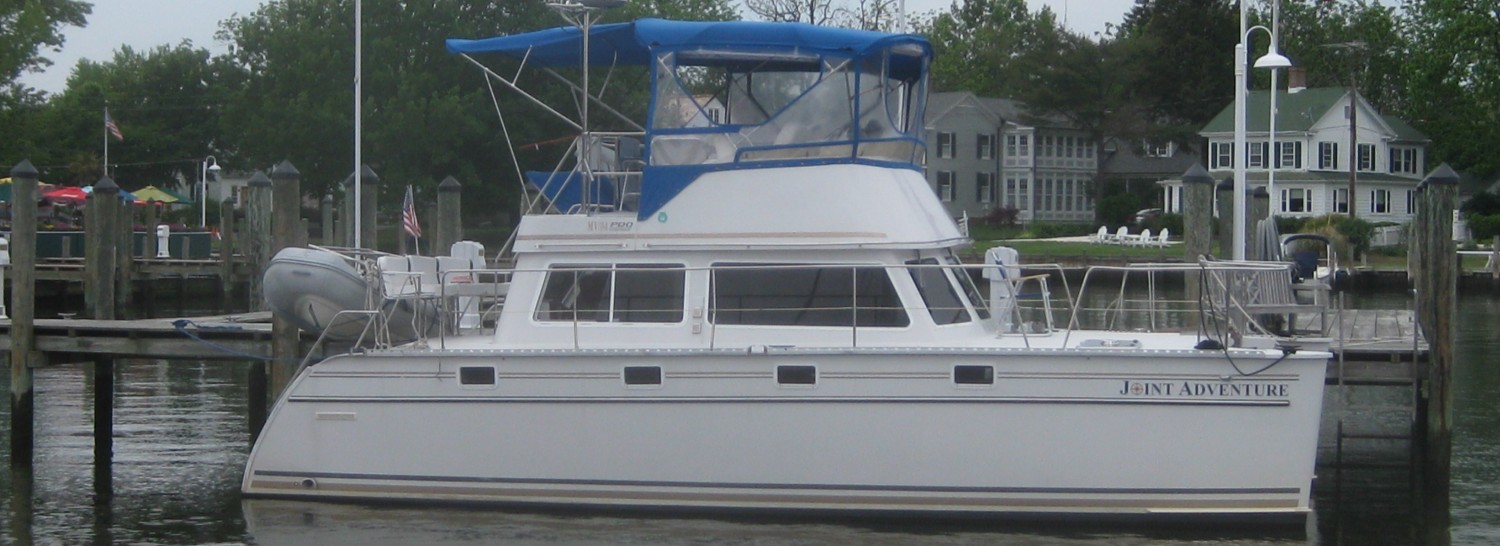
Post # 55: AN ABRUPT CHANGE OF PLANS; Day 394; May 30, 2015. On board: Tom McNichol; Hank (my Dad); Jim K.
Life and boating are full of surprises – this time it was a life surprise. Unfortunately, my wife Trish slipped getting into the shower at home in Boston and tore her hamstring from the bone, requiring a significant surgery. Therefore, we docked the boat in Manasquan, New Jersey, rented a car, and drove home so I would be there for the surgery and the beginning of her recovery. The surgery was performed yesterday (Friday), and was successful. Her full recovery will take quite some time – crutches for 6 weeks, no driving for 3 months. I plan to stay home until she is past the initial stages of recovery and arrangements are in place for assistance for her at home, then drive back to Manasquan to bring the Joint Adventure the rest of the way to Boston at a faster pace than originally planned – I expect that will take a week or so, which would get me back to Boston mid-June, which is consistent with our original schedule. Life is full of surprises!
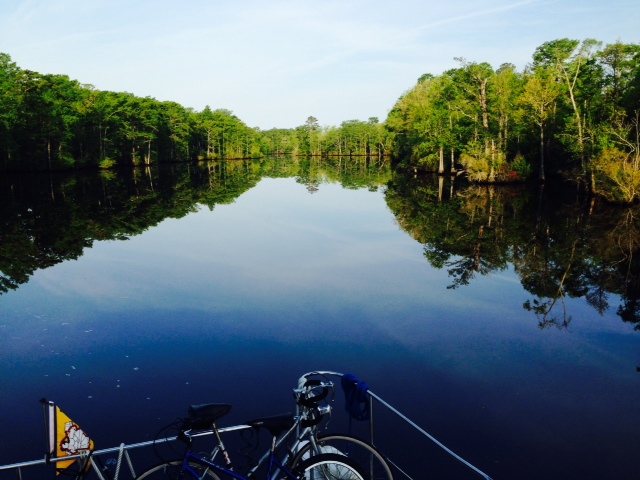
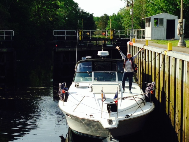
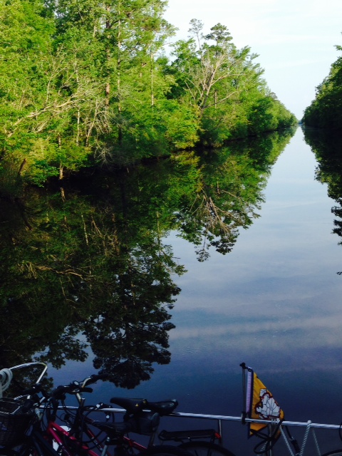
Back to the trip – as we prepared to leave Cape May and head up the New Jersey Intracoastal Waterway last Sunday, we asked everyone we could find in Cape May about the condition of the New Jersey ICW. We called and asked Sea Tow. We called and asked BoatUS. We talked to the dockmaster and several local boaters. Everyone said the same thing: It is in terrible shape – it has not been maintained; there are shoals; there are unmarked shallow spots; there are long, narrow channels that are difficult to see and easy to wander off into shallow water; there is still unmarked debris in the channel from Hurricane Sandy. Bottom line: their recommendations were unanimous: do not use the New Jersey ICW, especially between Cape May and Atlantic City. Instead, they recommended going outside the Cape May Inlet and running along the coast, then going back inside the nearest inlet for our overnight destinations. So we went in the ICW anyway. We knew the ICW would be a really scenic run if we could minimize our risk of running aground, and we have the advantage of a boat with a relatively shallow draft (about three feet). So we marked on the chart every critical area that people could identify for us, then timed our departure to get to the shallowest spots on the upper half of the tide cycle, when the tide was rising (with a rising tide, if we did go aground, we could wait an hour or so for the tide to lift us so we could back off. With a falling tide, the wait could be 10 hours or longer with the risk of damage much higher as the water ran out from beneath the boat as the tide receded).
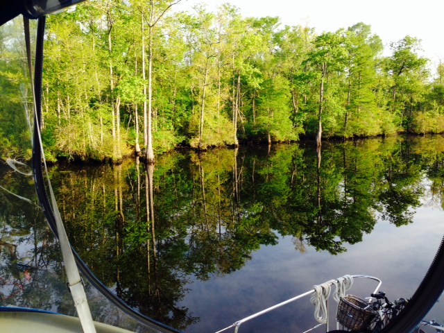
Our preparation and our gamble paid off. We crawled through the low spots on the upper half of the tide cycle and enjoyed some wonderful scenes, matching some of the best we’ve seen on the trip. We encountered just one other cruiser the whole way, and he was carefully picking his way through as well. However, it was Sunday of Memorial Day Weekend and it seems that every recreational boater with a small run-about in the entire state was in this section of the ICW – there were boats flying by us in every direction, some passing at full speed within 5 feet of our Hull. After all, we were in New Jersey….
Here are some pictures from the NJ ICW:

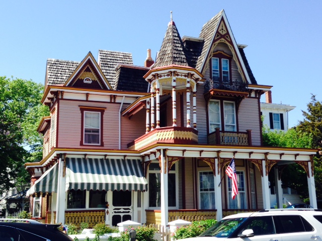
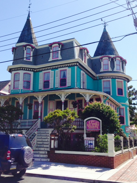
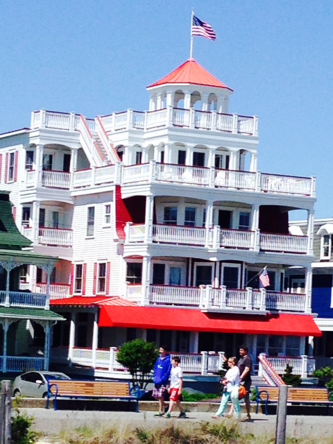
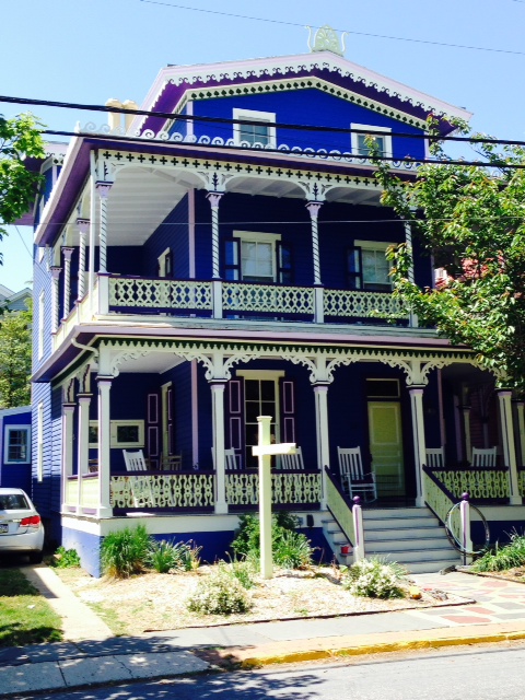
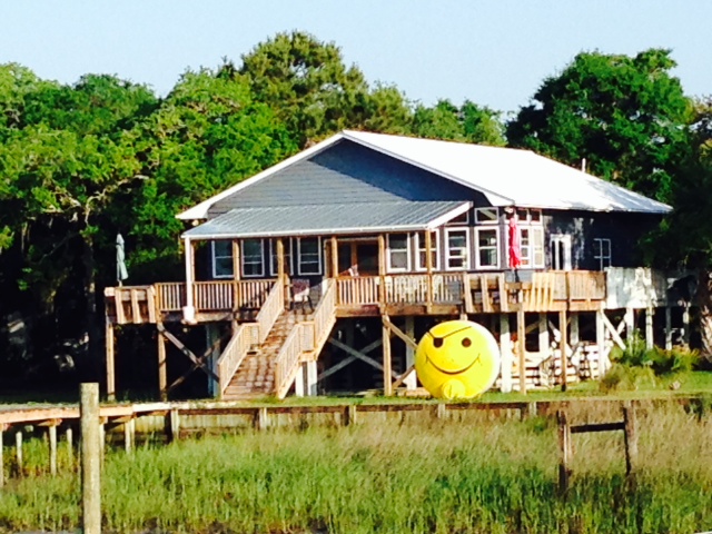
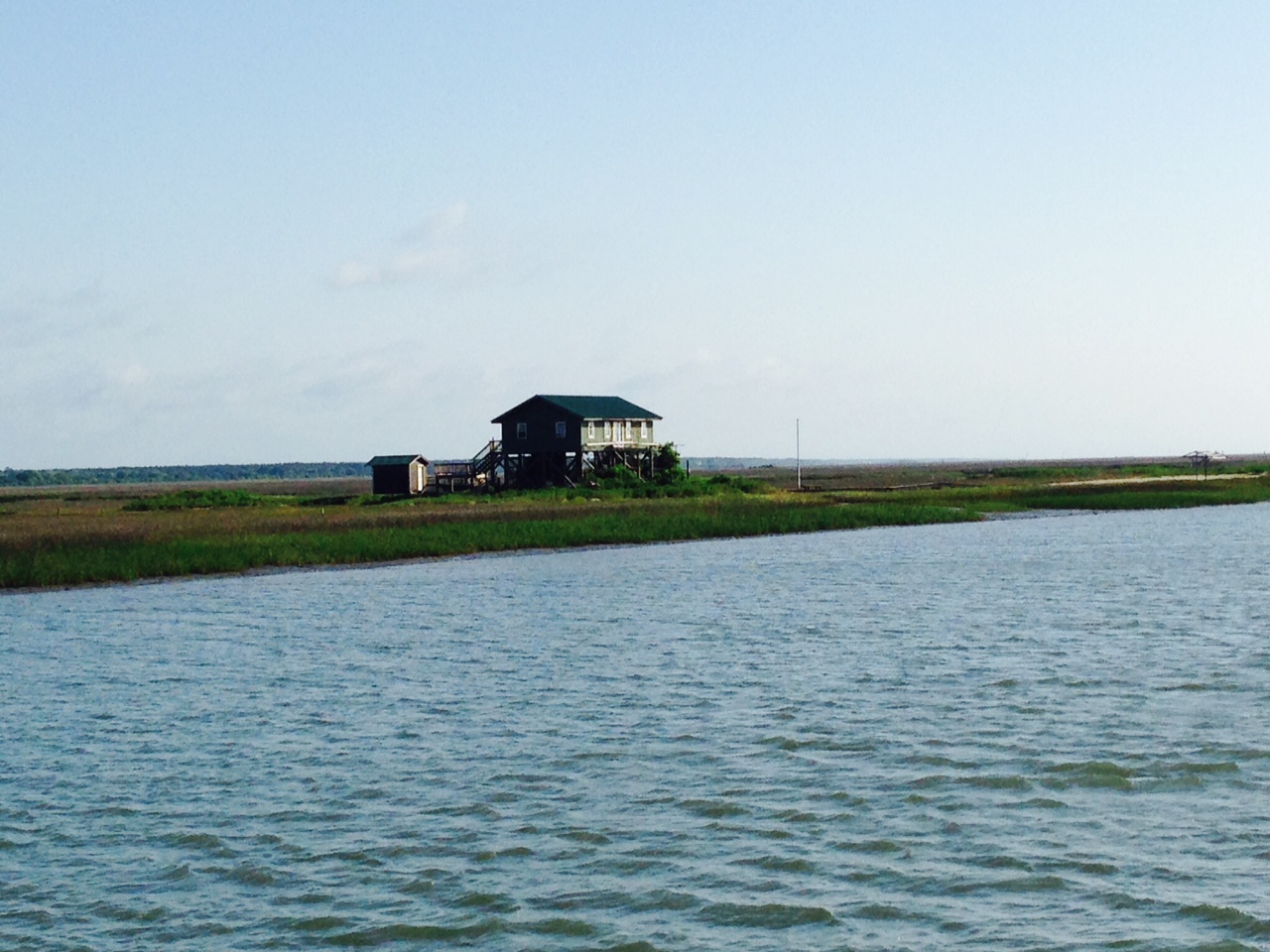
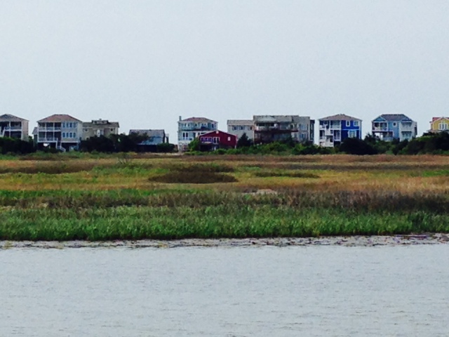
Some wonderful waterfront homes and cottages along the New Jersey ICW, which runs behind the barrier islands that make up the Jersey Shore. In addition to being shallow, the waterway brought us through some narrow channels, so were quite close to many classic northeast cottages built on stilts often right up to and over the water’s edge.
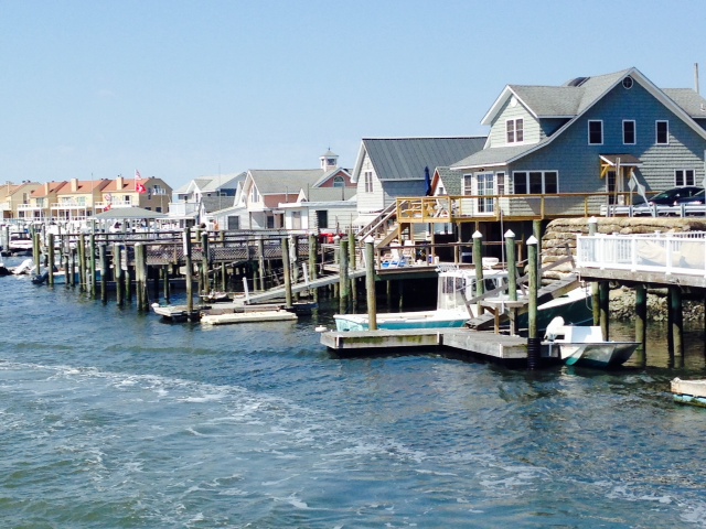
The tidal range is up to about 5 feet, so the homes and cottages are on stilts with floating docks accessed off the porch.

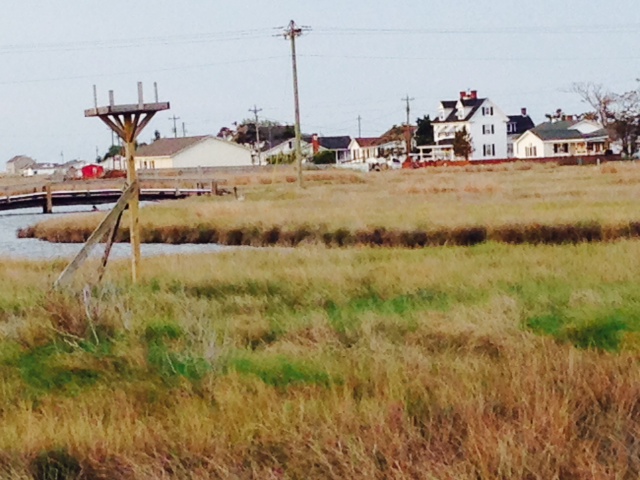
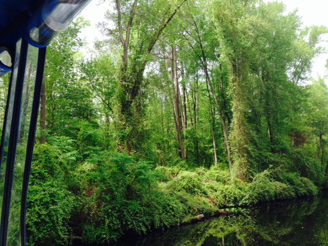
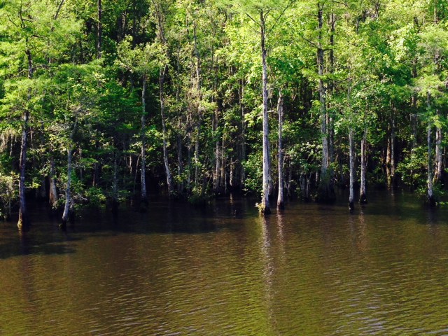
The NJ ICW passes through a surprising amount of marshland, which at times was reminiscent of the Low Country of Georgia and South Carolina, except that upland areas adjacent to the marshes is much more developed in New Jersey than down south.

The cottages and homes exhibited a wide range of sizes, shapes, and styles.
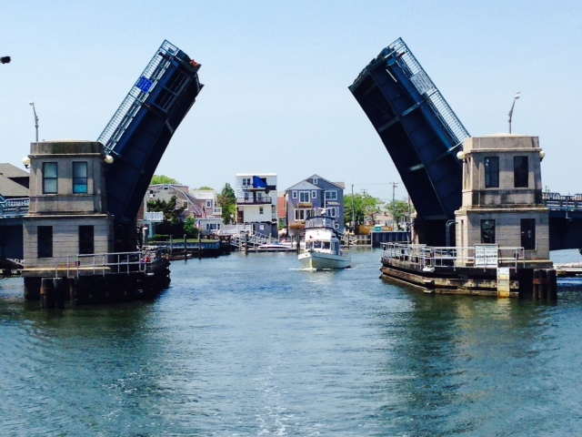
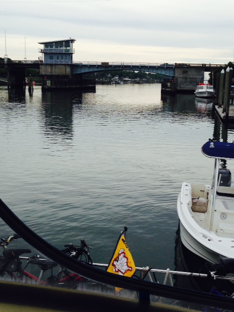
The New Jersey ICW has more bridges than we’ve seen in quite some time. We got stranded for nearly an hour waiting for an opening at a bridge at which the fire department had stopped all openings while they dealt with an emergency and wanted to make sure the bridge was available for them to cross in case they needed it.
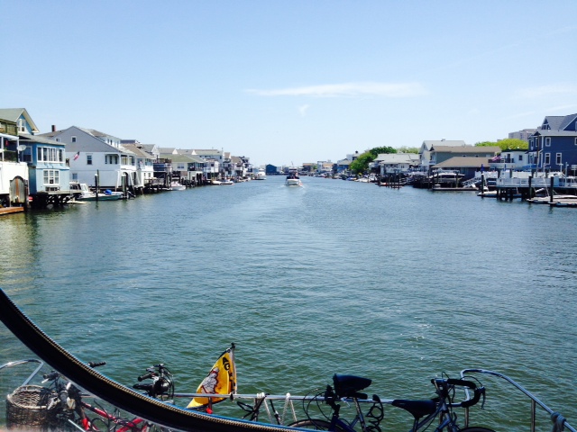
Motoring through a populated portion of the NJ ICW

Most of the visual damage from Hurricane Sandy 2 1/2 years ago has been demolished or removed, but this sunken boat and damaged dock was a reminder of the massive destruction that New Jersey and New York City endured.
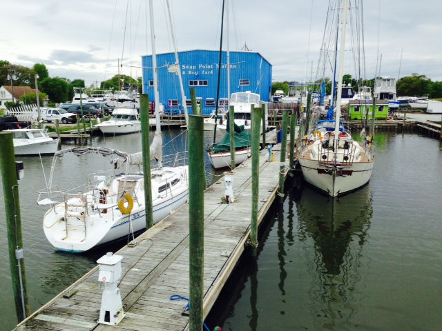
Our first stop on the NJ ICW was a large marina with an on-site restaurant just outside of Ocean City, NJ. Other than the marina, there wasn’t much there without taking a cab, so we decided to cook dinner on board and watch one of the multitude of movies with which my Dad had stocked the boat. The next morning we ran just 15 miles to Atlantic City.
Atlantic City is a very interesting place with a fascinating history. The first hotel was built in 1853, and a year later railroad service began from Philadelphia. By 1874, nearly half a million visitors a year were flocking to the newly-formed beach resort community, often credited as the first such resort in the country. The famous boardwalk was first built in 1870, and at one time extended more than 7 miles before some parts were damaged by a hurricane in 1944. During the first two decades of the 20th century, Atlantic City underwent a huge building boom in which dozens of enormous resort hotels were built. Prohibition became the law of the land in 1919, but was largely unenforced in Atlantic City – alcohol was smuggled in with the acquiescence of local officials and was easily available in the restaurants and other establishments. The availability of liquor combined with prevalent backroom gambling caused the resort’s popularity to soar even further. In 1923, the City approved construction of a Convention Center (now named Boardwalk Hall), which is discussed in more detail below. Big name entertainers flocked to the City, offering extravagant shows. The Miss America Pageant was born in Atlantic City in 1921, and was held there every year until moving briefly to Las Vegas before returning in 2013. The game Monopoly exploded in popularity after the original board was redesigned to name the properties after locations in or near Atlantic City. And salt water taffy was invented and popularized in Atlantic City.
After World War II, however, the City entered a period of serious decline. With the increased use of automobiles, jet travel, and home swimming pools, people increasingly went to more exotic places to vacation or vacationed in suburbia around their pools. Like many northeastern cities, Atlantic City became plagued with poverty, crime, corruption, and a loss of jobs. Many of the once-magnificent hotels fell into disrepair and were demolished. In an effort to rejuvenate the city, New Jersey voters in 1976 passed a referendum legalizing gambling in Atlantic City. A building boom returned, as a dozen casino resorts were built. The city again boomed, and by the end of the 1980’s, Atlantic City was again one of the most popular tourist destinations in the country. However, most people agree that the boom bypassed the impoverished neighborhoods surrounding the tourist area where rejuvenation was needed most.
Today, the fortunes of the city have changed yet again. As many other states have legalized gambling causing the spread of casinos throughout the country, Atlantic City no longer had a monopoly on gambling in the East and people increasingly visited casinos close to home rather than traveling to Atlantic City. Four of Atlantic City’s twelve casinos have closed just within the last two years, with a loss of 8,000 jobs. Others are struggling with rampant rumors of more closings to come. While talking with a jitney driver, he described the boom years of the 80’s and 90’s saying “every day was New Years Eve”. He’s very concerned about the future.
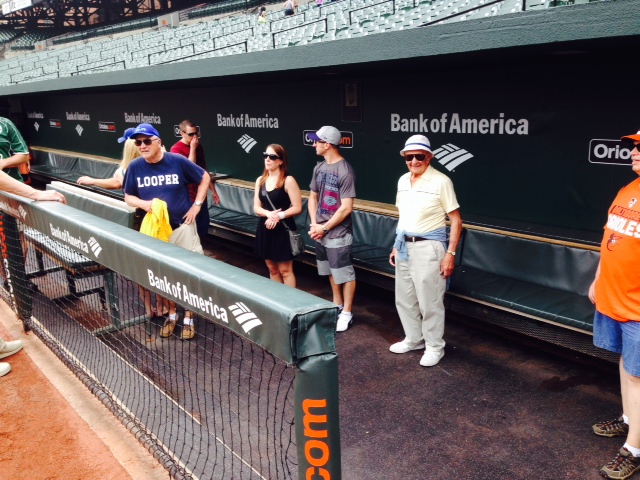
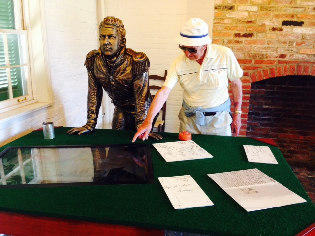
We spent two days in Atlantic City, exploring the boardwalk and seeing the sights. Not being a big gambler, I decided to limit my losses to $5, which took about 90 seconds at a slot machine (I needed to ask the woman next to me how it worked…). Here are some images from our visit:
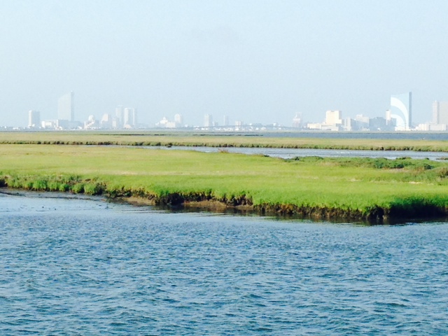
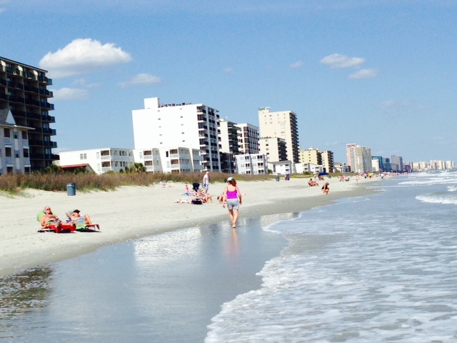
The Atlantic City skyline as seen approaching from the New Jersey ICW.
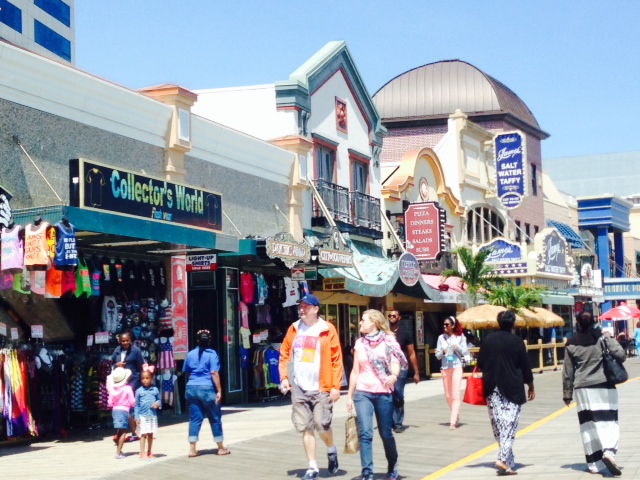
The famous Atlantic City boardwalk – some sections are dominated by highrise hotel/casinos, other sections have older, two and three story shops along its edge. The beach runs along the boardwalk the entire way.

Extravagance along the Atlantic City boardwalk

The Taj Mahal in Atlantic City –

The gambling floors are enormous and seem to go on forever. Watching some of the games can be quite entertaining…
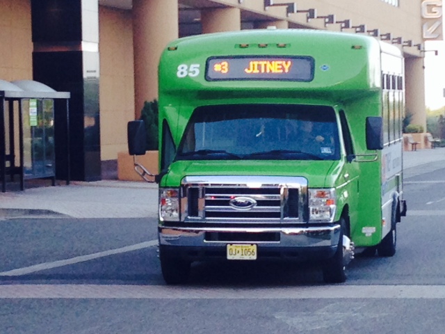
Jitney’s provide transportation 24/7 throughout the city, and run every 5 to 10 minutes. There are 190 jitneys, and each is privately owned. The owners have an association, and govern themselves.

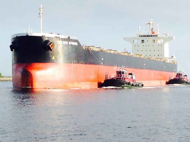
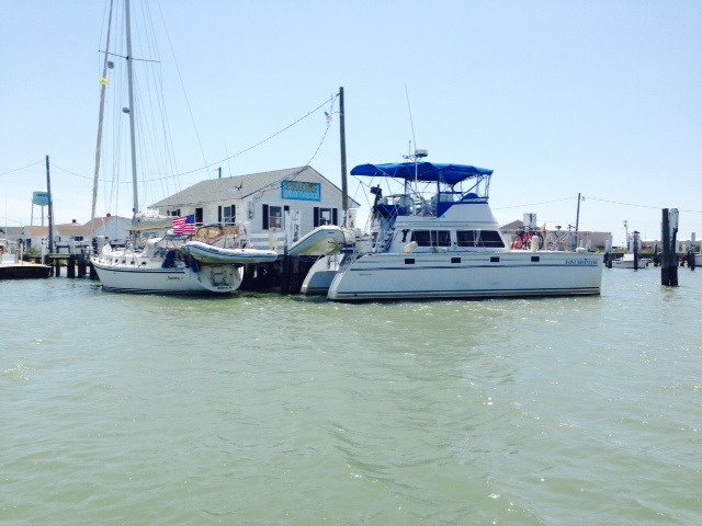
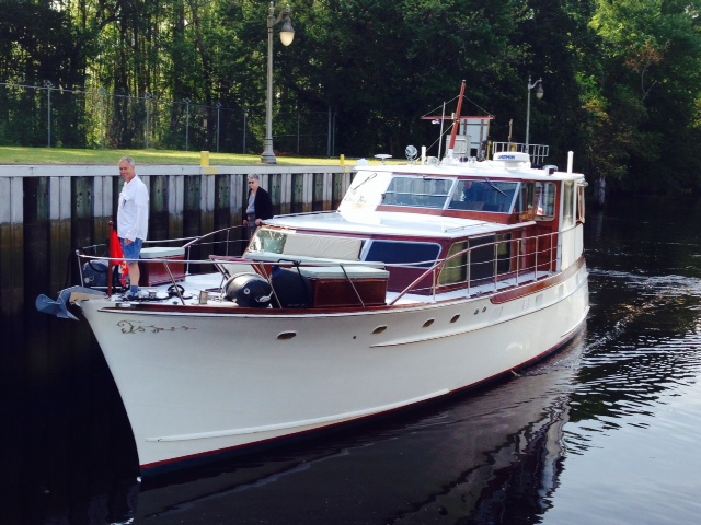
This boat came into Atlantic City while we were there and docked across from us. It was built in 1926, and is the nearly-identical sister ship to the Sequoia. The Sequoia was the presidential yacht from 1931 to 1977, used by virtually every president from Herbert Hoover to Jimmy Carter, who ordered it sold. Roosevelt had an elevator installed, which Lyndon Johnson had removed and replaced with a bar.
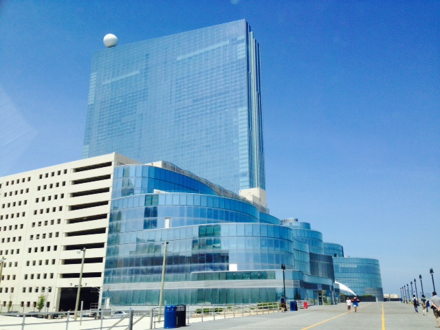
This is the former Revel Casino. It was built at a cost of $2.4 billion and, incredibly, it was closed within the past 9 months after operating for less than two years. It was just bought for $82 million, about 3% of its cost to construct…
One of the fascinating sights in Atlantic City is Boardwalk Hall, built in 1926. At the time, it contained the longest free-standing arch in the world, and was the largest enclosed open space in the world. The Miss America Pagent, concerts, shows, ice hockey games, boxing matches, and arena football are all held in the cavernous building. Concerts held in the Hall include the Beatles, the Rolling Stones, Bruce Springsteen, Madonna, Beyoncé, and Lady Gaga. The Who performed there last month. During World War II, the hall was used for military training, and the Democratic National Convention was held there in 1964, nominating Lyndon Johnson. Even more amazing is the pipe organ which was built between 1929 and 1932 at a cost of $500,000, weighing more than 150 tons and requiring more than 80 technicians to install it. The replacement cost today is estimated to be three quarters of a billion dollars. We took a tour of the building and learned that the organ is being restored, a process that will take about 12 years. The organ consists of 33,000 pipes, ranging in size from 64 feet to a third of an inch in height (yes – a third of an inch!). The immensity of the organ was required to fill the cavernous hall with music. The Guinness Book of World Records states that the organ produces “…a pure trumpet sound of earsplitting volume…six times louder than the loudest train whistle.” The air to play the organ is generated by blowers which are powered by 600 HP motors.
Here are some pictures from our tour:
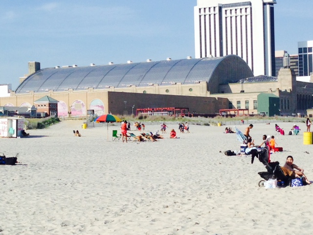
The original Boardwalk Hall as seen from the beach, now listed on the National Register of Historic Places
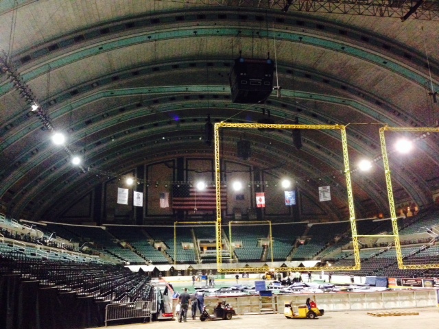
The cavernous inside of the building
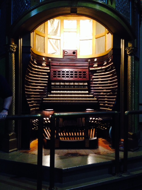
This is the “controls” where the organ player sits to play the organ. It contains over 1,000 keys!
While in Atlantic City, we learned that Trish’s surgery had been scheduled three days later, so we decided to try to get to Manasquan to leave the boat while we came home. Conditions were marginal, requiring us to run nearly 70 miles in the ICW through a low tide cycle with 20 knot winds gusting to 25. Despite the marginal conditions, we decided to go in order to get the boat closer to Boston. Although we lost the channel a couple of times where it was poorly marked, we arrived in Manasquan late in the afternoon without major incident.
We expect to return to the Joint Adventure later this week for the final leg of our journey, which will take us back through New York City, Long Island Sound, the Cape Cod Canal, and up the coast to Boston. More to come!