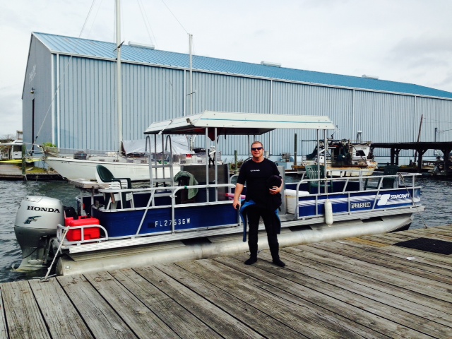
Post # 40: CROSSING OUR WAKE AND A GOLD FLAG – Day 223 , December 13, 2014. On Board: Paul Coates, Jim K.
It seems a long time since my last post, probably because it has been – a week at home for the Thanksgiving holiday, followed by a week running from St. Petersburg to Fort Meyers Beach, followed by more tardiness on my part.
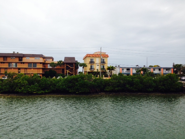
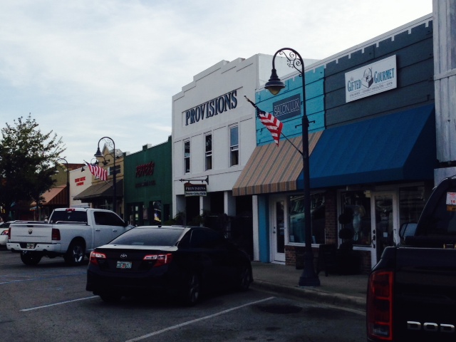
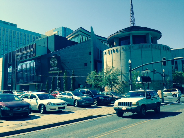
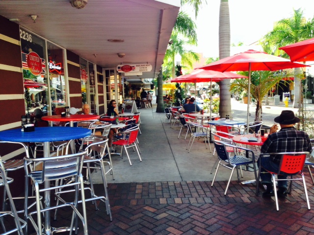
St. Pete proved to be a beautiful, interesting city. Most business activity in the area takes place across the bay in Tampa, so St. Pete is primarily a residential city. A number of high rise condominium buildings have been constructed near the waterfront over the past couple of decades, which dominate the St. Petersburg skyline. This has led to active streetscapes with outdoor seating along the sidewalks, an abundance of retail shops, and some interesting museums.
At the St Petersburg Museum of History, in addition to a great deal of Florida history, I learned that the first commercial airline in the world was started in St. Pete in 1914. The entrepreneurs who started the airline first approached the City Council in Tampa, who rejected the plan – they were worried that fast transportation to St. Pete would take business away from Tampa and transfer it its competitor-city across the Bay. The City Council in St. Petersburg, however, embraced the idea, so the airline was chartered and based there. The plan was to fly passengers in an airboat 21 miles across Tampa Bay between the two cities, a flight that took 23 minutes if all went well. The fare was $5, but the first ticket was auctioned off and purchased by the former mayor of St. Petersburg for $400. However, halfway through the first flight, a chain came off its sprocket on the airboat, so they had to perform an emergency landing in Tampa Bay and wait while the pilot put the chain back on before they could resume the flight. Despite the problems, however, the new airline was successful and is recognized today as the first step in legitimizing commercial air travel.
Here are some images from our time in St. Pete:
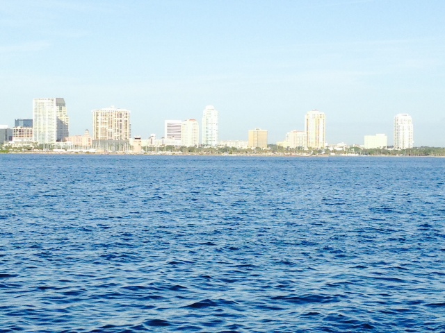
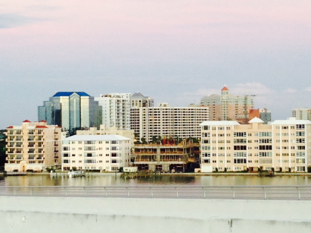
The new high rises forming the St. Petersburg skyline are virtually all residential buildings, most built in the last 2 or 3 decades.
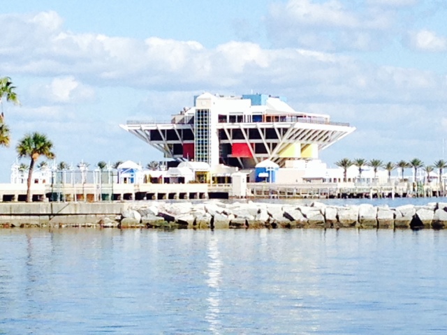
Constructed in 1973, The Pier, or unofficially called the Pyramid, is an iconic image of St. Petersburg; it used to contain the city’s Aquarium, retail shops, two restaurants, and administrative offices. However, it was vacated and closed in 2013 due to structural deterioration of the connecting causeway. It was scheduled to be demolished and replaced with a new structure called The Lens, which was approved by the City Council. However, a subsequent voter referendum rejected the design, so the future plans are now in turmoil.
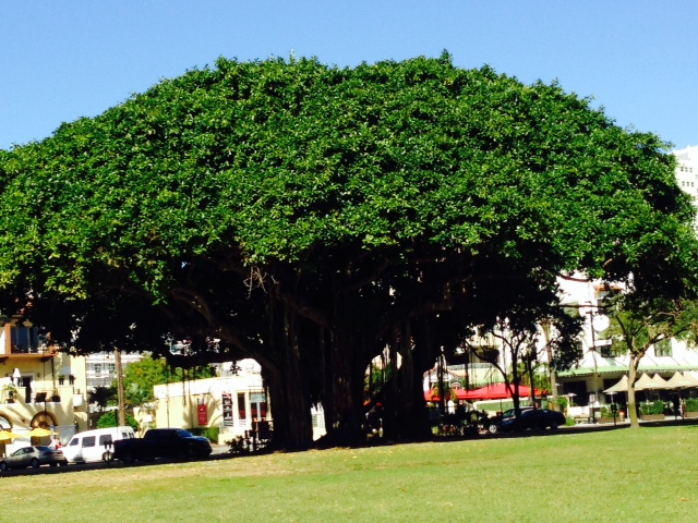
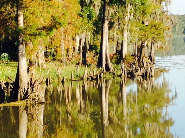
OK, so maybe I’m a bit obsessed with trees. This is a magnificent one in the waterfront area that I couldn’t resist. This is all one tree!

The famous Dali Museum exhibits the works of Salvatore Dali, a Spanish artist and friend of Picasso whose career spanned a series of different styles as his works evolved. The museum building is stunning and the artwork fascinating, even to an art neophyte like me
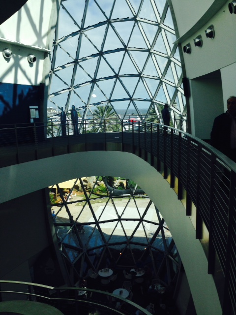
The atrium of the Dali Museum
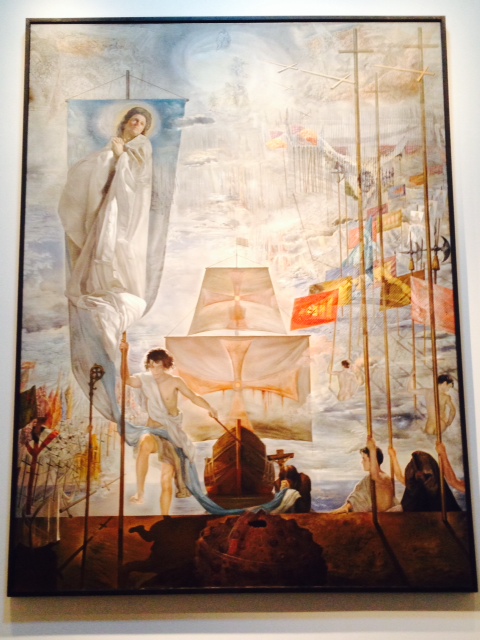
One of several enormous works that nearly covers the entire wall in the museum. This is from Dali’s “spiritual” period.

Another enormous painting in the museum; the more you look at it, the more new images appear that you didn’t notice before.
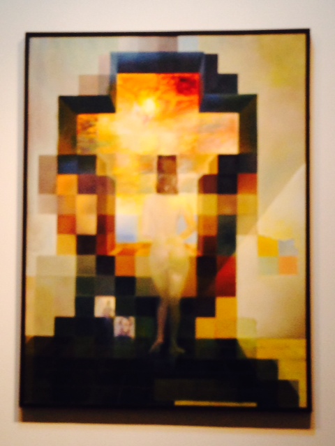
This painting changes images as one views it from different distances. From afar, the image of Lincoln appears, which is indistinguishable from closer distances
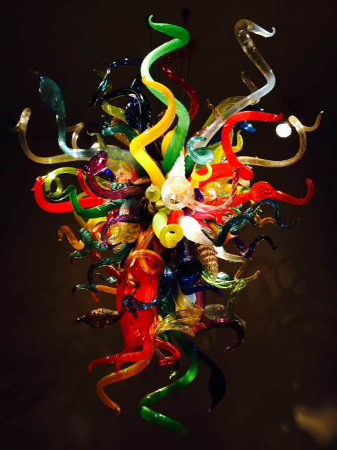
Another stunning display of art is the Chihuly Collection by Dale Chihuly, a glass sculpturer who uses glass and light to create amazing images. Following are a few of his works seen at the Chihuly Collection in St. Pete. These are all made of glass.


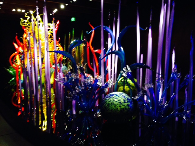

Supposedly, one appears to be underwater when a picture is taken underneath this glass sculpture due to the lighting and the surroundings. You be the judge…

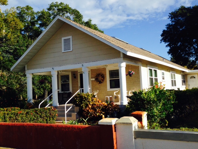
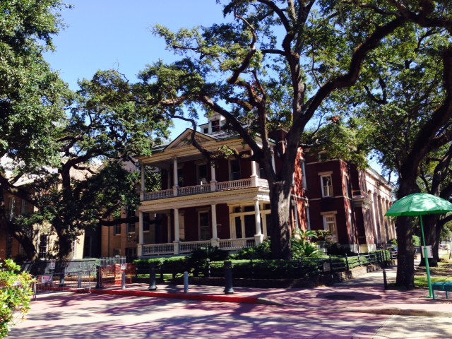
The historic neighborhood in St. Pete contains hundreds of beautifully preserved historic homes.
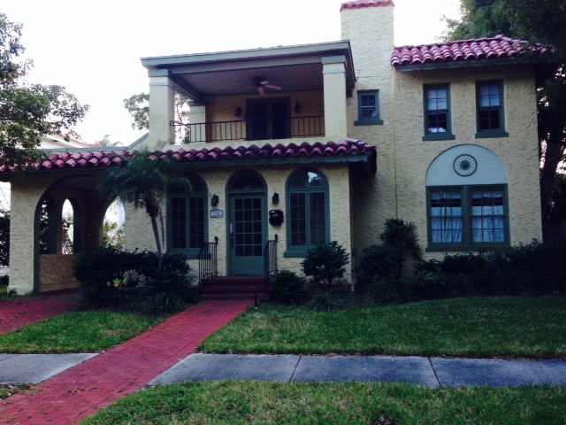
Another beautiful historic home

I could think of a number of captions for this picture, but have become wise enough to not use any of them. Any suggestions?

Paul’s brother Steve and his wife Sue live in St. Pete, and we had the pleasure of spending some time together; I also had the honor of attending a wonderful dinner with extended members of the Coates family, including Bill Coates, the Patriarch. Steve took us to this pub with a deck overlooking an inlet to the Gulf, where we enjoyed dinner, a couple of beers, the sunset, and the pleasure of Steve’s company.
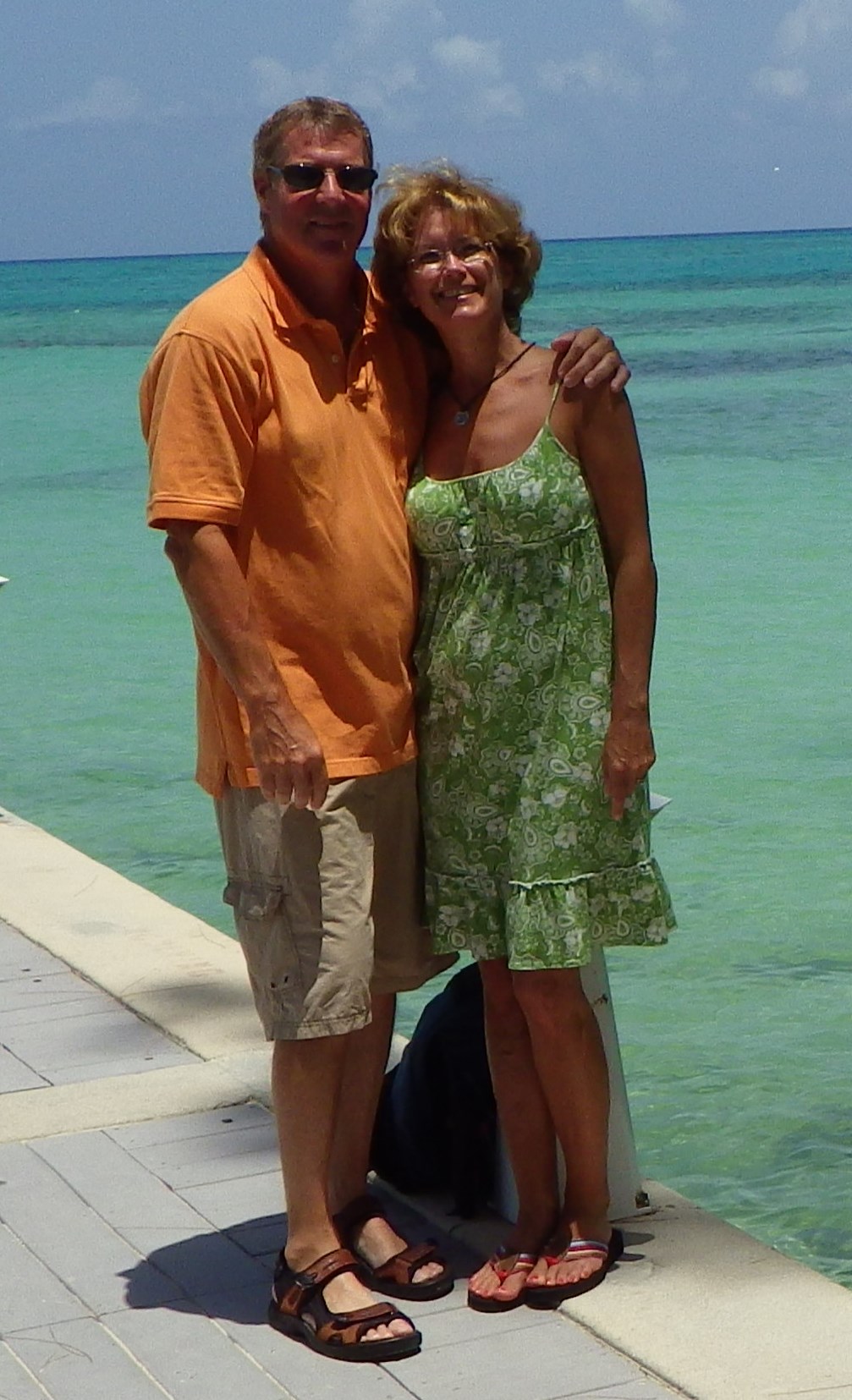
Steve and his wonderful bride, Sue. Ten years ago, when my daughter Jenny and I rode our bicycles cross country to raise money for breast cancer research, we ended our journey in St. Augustine, Florida. We didn’t know anyone there, so Steve & Sue drove 3 hours each way across the state to meet and congratulate us on the completion of our journey – an incredible gesture that we have never forgotten, but a commonplace act of kindness for Steve & Sue.

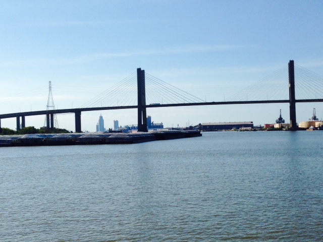
OH, NO. Not another bridge! I couldn’t resist – this is the Sunshine Skyway Bridge across Tampa Bay, which we passed under on our way south from St. Petersburg. The original bridge was constructed in 1954, but collapsed in 1980 when a supporting pier was struck by the freighter SUMMIT VENTURE during a blinding thunderstorm; the collision caused 1200 feet of the bridge to plummet into Tampa Bay, taking 6 cars, a truck, and a greyhound bus with it. One person miraculously survived when his pick-up truck landed on the deck of the freighter before falling into the Bay, but 35 people were killed. This current bridge, spanning 4.1 miles across the Bay, replaced the collapsed one in 1987.
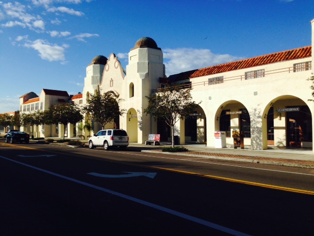
Our next stop was Sarasota, a 30 mile run south from St. Petersburg. Sarasota is a very upscale city with a beautiful beachfront area on the barrier islands and a thriving residential downtown area across the bridge on the mainland. We were fortunate enough to stay at the opulent Sarasota Yacht Club on the beach side for free.
Sarasota is home to the Ringling Brothers Circus Museum and Art Gallery. It’s clear that the Ringling Brothers legacy continues to have a significant presence in Sarasota. The Ringling Brothers Circus was founded in 1884 by five of the seven Ringling Brothers. Although each brother had a different job with a different level of effort and responsibility, the five brothers always divided the proceeds equally among them. In 1887, they went to Philadelphia and acquired several railroad cars, which enabled them to travel greater distances to larger towns, thus playing to larger audiences each night and grow their reputation and following exponentially. The image of the railroad cars also became an icon of the Ringling Brothers Circus. In 1907, they acquired the Barnum & Bailey’s Circus and merged them in 1919 to become “The Greatest Show On Earth”. In 1929, they bought 7 other circus shows, including Buffalo Bill’s Wild West Show, after which they owned every traveling circus show in America.
In 1927, they moved their winter headquarters to Saraota, where John and wife Mable Ringling had been wintering since 1909. John was instrumental in the development of modern-day Sarasota, and became one of the richest men on earth. He and Mable acquired an enormous collection of art, and first established the art museum in Sarasota in 1927. Upon his death in 1936, John Ringling willed the art collection plus a $1.2 million endowment (a huge sum back then) to the State of Florida, despite the fact that he was nearly bankrupt at that time (after all, this is America). Creditors contested the donation, but the state eventually won after years of court battles. However, the state allowed the property to fall into disrepair until 2002, when it finally appropriated $43 million in construction funds, provided that the private sector kicked in $50 million within 5 years. By the time the deadline arrived, $55 million had been raised, and in 2007, a $79 million expansion and renovation project was finished. Designated as the official Florida State Art Museum, it contains over 10,000 pieces of art and over 150,000 square feet of new space, including the Art Museum, the Circus Museum, the Ringlings’ mansion, and the historic Asolo Theater.
Here are some images from our stay in Sarasota:
Similar to St. Petersburg, the skyline of the mainland-side of Sarasota consists mostly of residential buildings

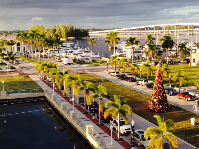
To give you an idea of how upscale Sarasota is – this is Marina Jack’s, the main marina serving the City of Sarasota….a bit different from the marinas along the inland routes on the Great Loop.
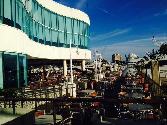
The waterfront dining overlooking the Intracoastal Waterway at Marina Jack’s

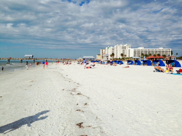
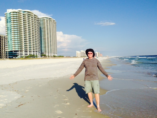
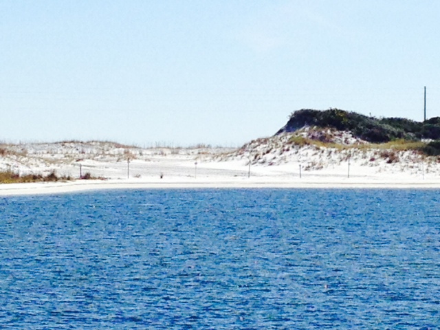
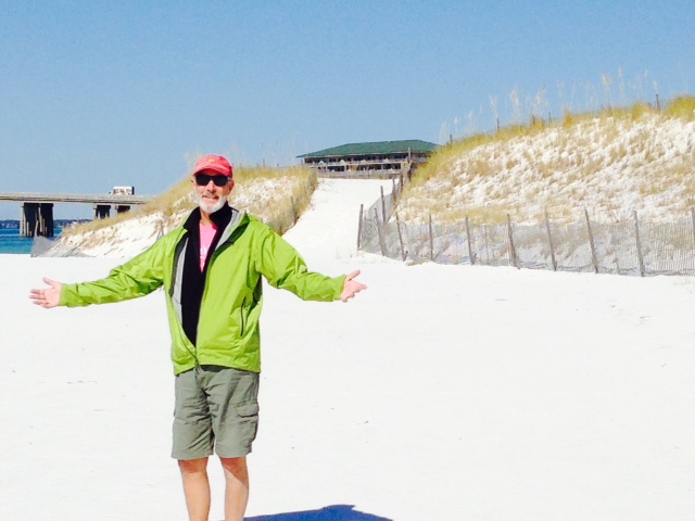
The wide beach at Sarasota is spectacular, with fine white sugar-like sand
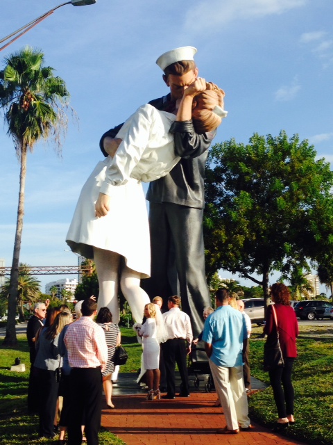
On the mainland-side of Sarasota stands this enormous statue of the famous photograph taken of a sailor kissing a nurse in a street in Europe moments after the announcement of the surrender of Japan ending World War II. There happened to be a wedding just getting underway beneath the statue as I rode up on my bike and snapped this picture.
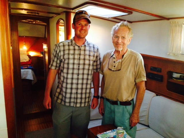
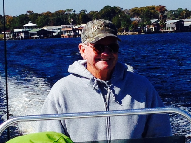
It had been over a month since we were together at Fairhope, Alabama with our good friends Tom & Tim, the grandfather/grandson team aboard the vessel IF. Thus, I was thrilled to find them in Sarasota at Marina Jack’s and to spend some time with them aboard IF.
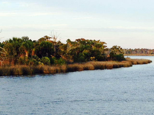
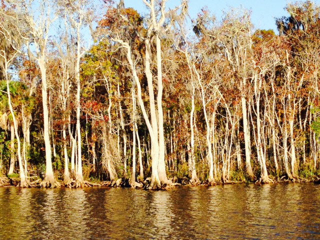
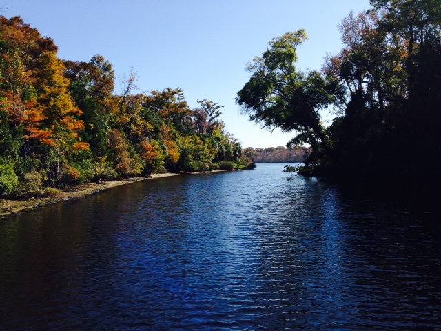
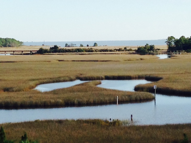
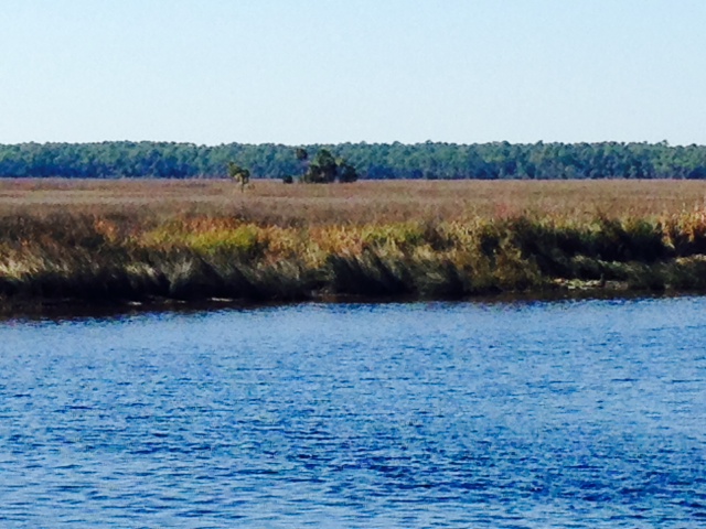
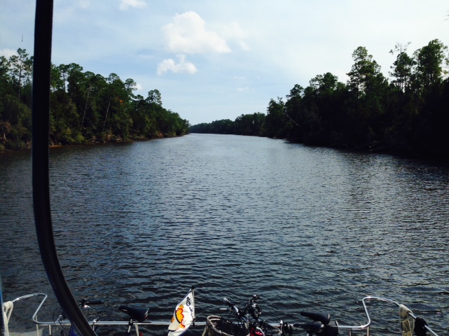
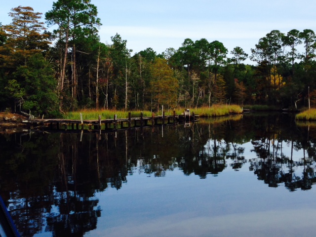
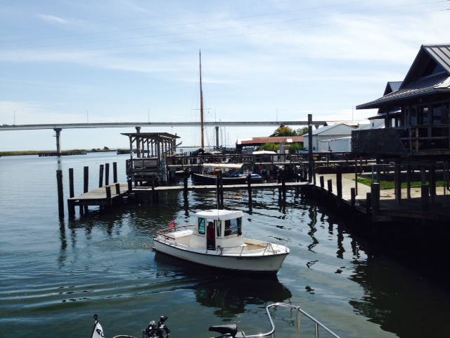
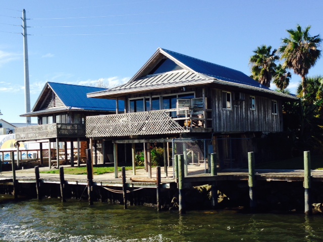
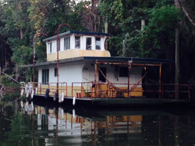
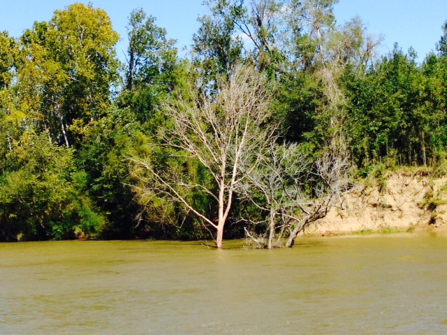
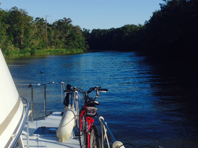
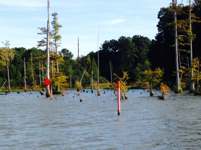
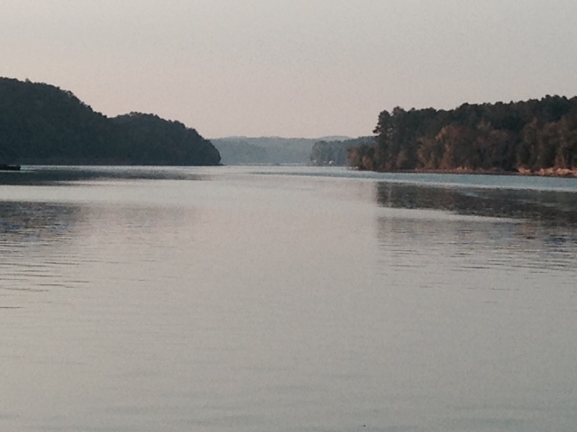
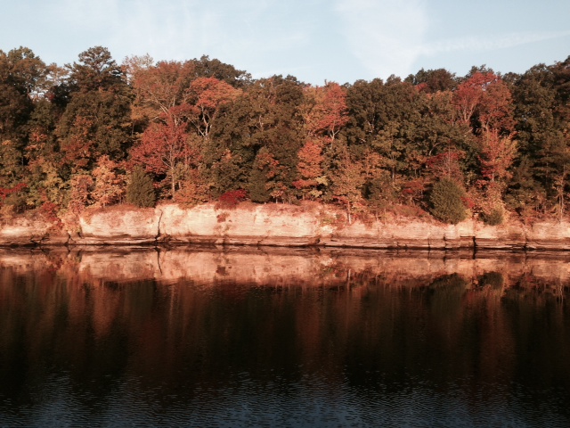
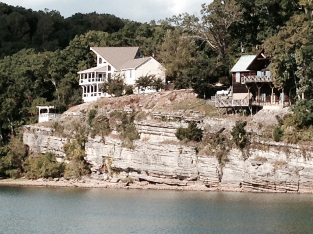
Cruising south along the Gulf Intracoastal Waterway continued to provide some interesting scenery:

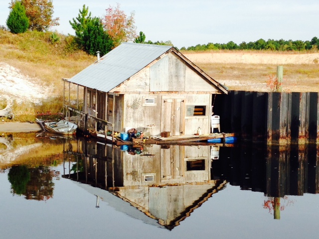
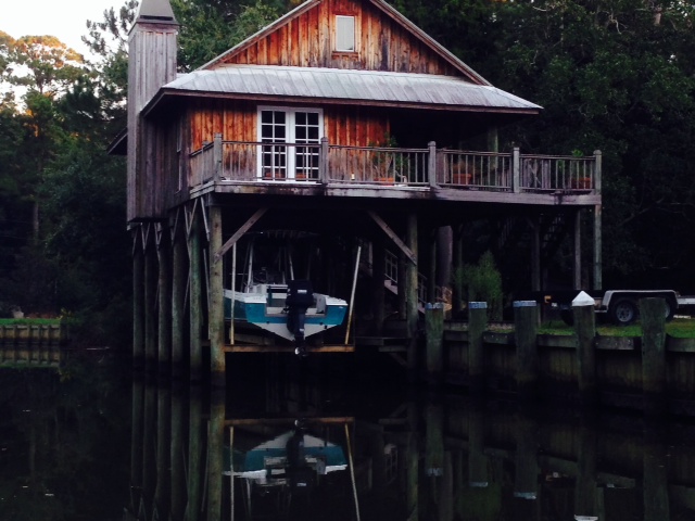
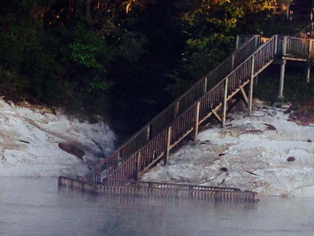
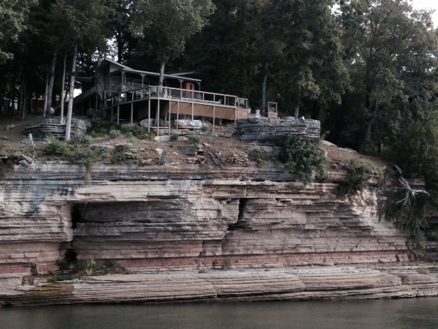
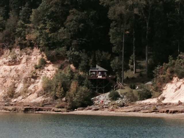
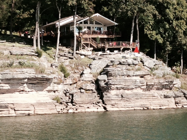
Both the house and the setting – on a long peninsula sticking out into the GICW – captured my attention as we cruised by it.

Here is a closer shot of the house

We haven’t seen a swing bridge since the historic, manually-operated wooden swing bridges on the Trent-Severn Waterway, so I couldn’t resist taking a picture of this one
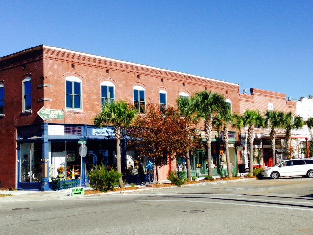
We then ran just 15 miles south to Venice, Florida, a smaller version of Sarasota with a European twist. Here are some images:
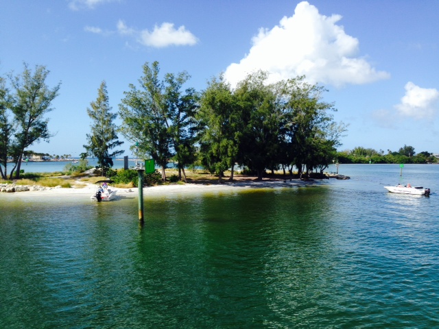
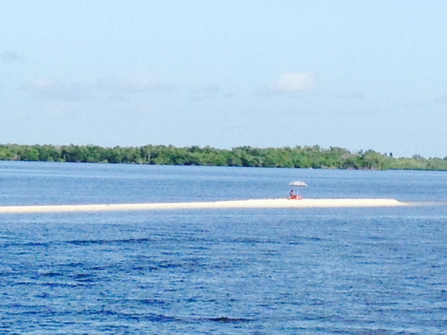
This picturesque islands greets boaters as they approach Venice on the GICW from the north.

The marina where we stayed in Venice is directly on the Gulf Intracoastal Waterway – the day was sunny and calm.
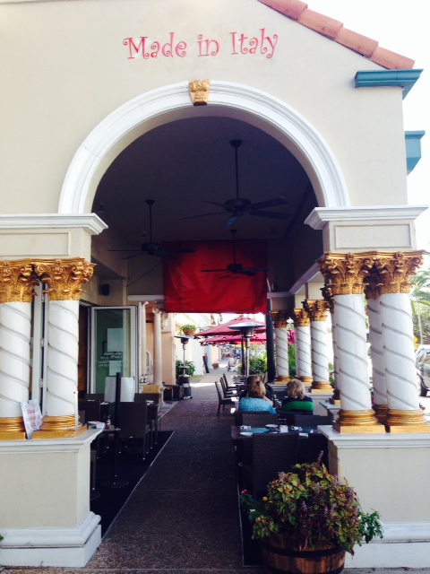
The “Italy” theme is quite prevalent throughout the city, as its namesake would suggest

An image from the main street in downtown Venice

Notice the balcony, reminiscent of buildings throughout Italy

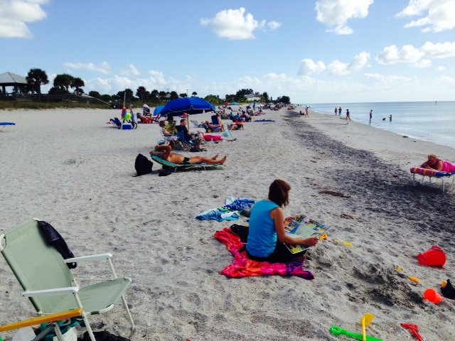
Another spectacular beach along the Gulf coast of Florida – this one in Venice
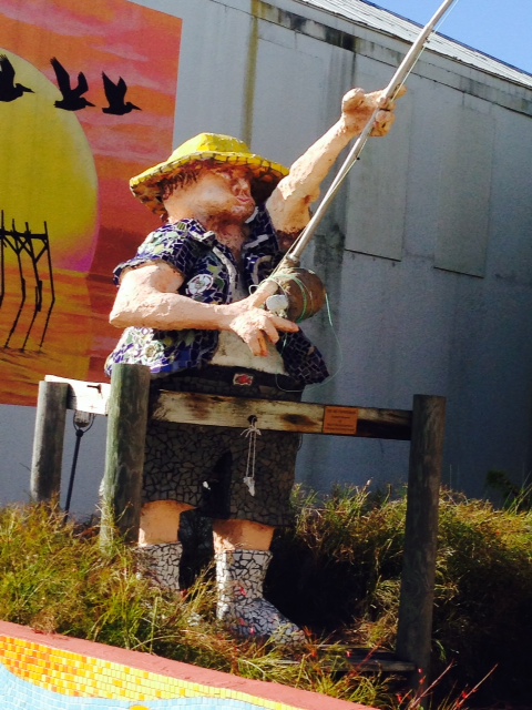
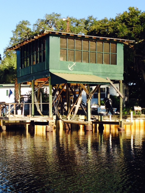
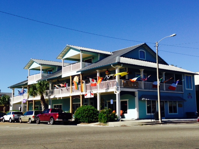
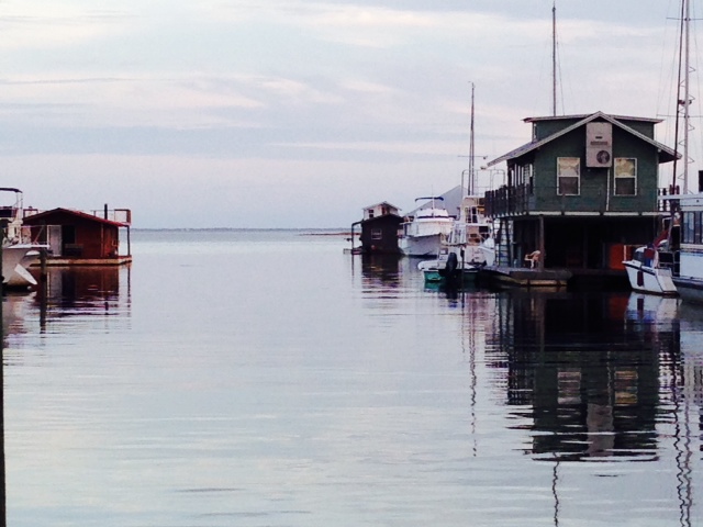
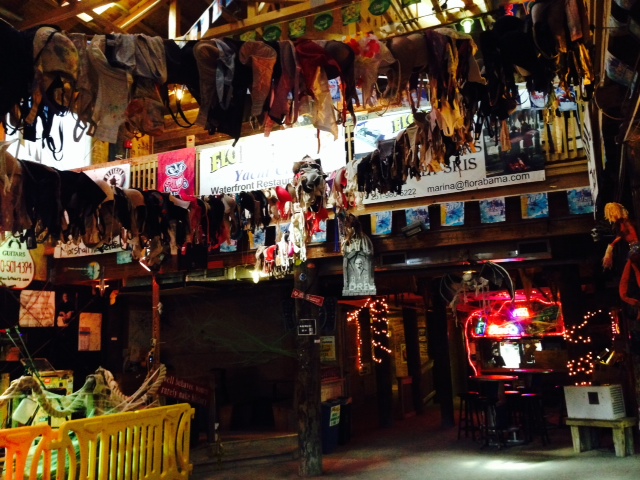
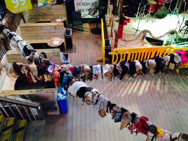
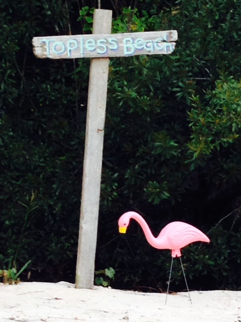
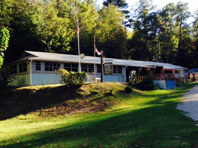
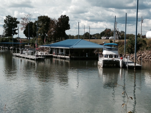
Our next stop was Englewood Beach on Manasota Key, one of our favorite places. It is about 25 miles south of Venice, but very different from both Venice and Sarasota. Instead of high-rises and resorts, Englewood Beach is lined primarily with more modest older cottages and two-story homes. The commercial area is small and a bit funky. There is only one small marina tucked in a corner of the harbor on the bay side of the island, with some commercial fishing boats docked in the harbor as well and a fish market where you can buy fresh fish just brought in off the boats. There are two fun and funky restaurant/pubs overlooking the harbor, both of which feature outdoor and indoor seating and live music every night and often during the afternoon as well. Here are some images:

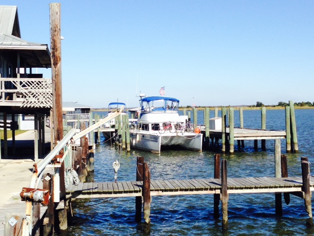
The Joint Adventure tucked in the corner of the cozy marina at Englewood, which is surrounded by mangroves right to the edge of the docks

Another picture of the marina and the Joint Adventure
Notice the lack of high-rises along the beach
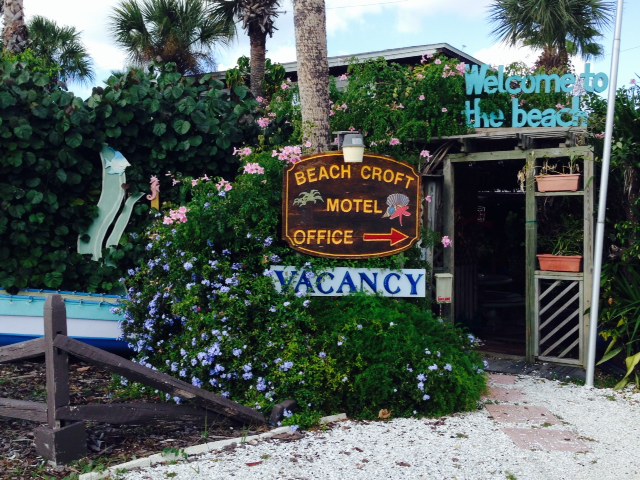
The entrance to a funky hotel on Englewood Beach
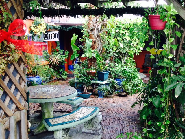
A view of the entrance courtyard of the hotel once you pass through the vegetated archway
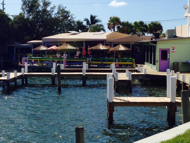
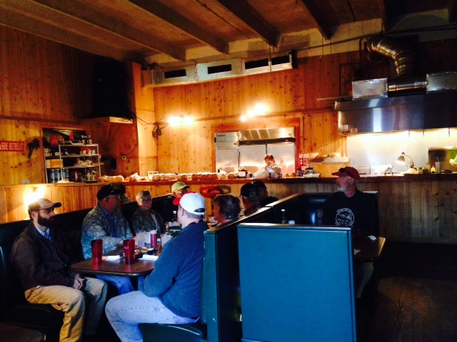
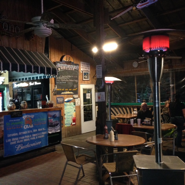
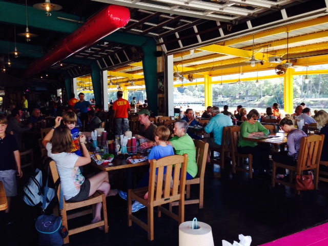
One of the two fun restaurant/pubs overlooking the waterfront on the bay side

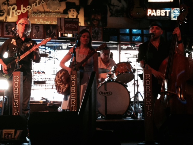
The three-piece band playing outside on the deck in the afternoon – we couldn’t resist an early happy-hour visit…

You may have seen one of these before, but I never had and I was fascinated – it is an electronic drum set, in which striking each of the eight panels produces the sound if a different drum – base, snare, cymbals, etc. What will they think of next?
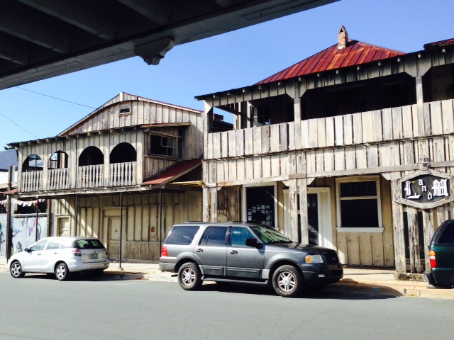
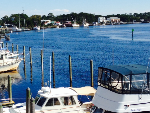
We next visited Boca Grande on Gasparilla Island, another barrier island with an interesting history. Boca Grande is Spanish for “Big Mouth”, so named due to the width and depth of the pass at the southern tip of the island, which, at 80 feet deep, is one of the deepest natural inlets in Florida. The first settlers came to Gasparilla Island to fish, but the discovery of phosphate rock on the nearby banks of the Peace River in 1885 brought prosperity to the island. Due to the deep water pass, a railroad was built to carry phosphate onto and down the length of the island where a 1/5 mile long pier and deep water facilities were built to load the phosphate directly onto ocean-going freighters for shipment throughout the world. As a result, at its peak in 1969, Port Boca Grande was the 4th busiest port in Florida. However, use of the port ceased 10 years later as it became cheaper to ship through Tampa Bay. Today, the abandoned railroad bed is an active bike trail that goes through the center of the upscale town.
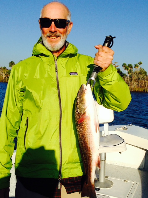
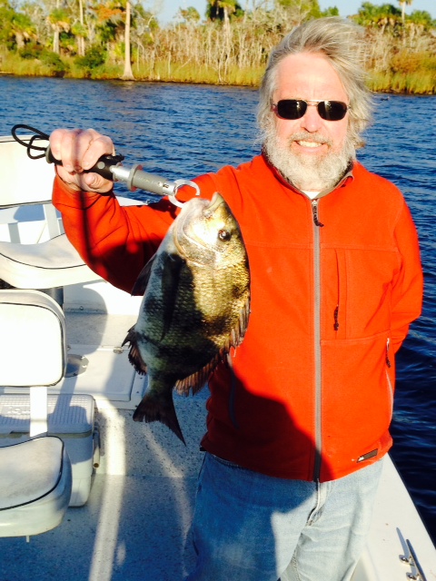
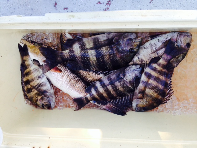
Fishing is the other activity that put Boca Grande on the map – the area is renowned as the world’s premier tarpon fishing location which yields more tarpon than any other place in the entire world. Today, Boca Grande is an upscale tourist destination with many restored buildings from its past, upscale shops, and fine homes. Here are some images:

The old train depot brought wealthy visitors to the island until a roadway was built. It now houses a restaurant in the center of town, as well as numerous shops.

Golf carts are the primary means of transportation on the island, and are available for rent at numerous locations.

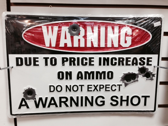
How true this is….
The enormous Gasparilla Inn & Club was built in 1911 and has been beautifully restored to its original opulence when it was built to cater to wealthy visitors from the north who came to Boca Grande for the world-class fishing and the warm winter climate.

Inside the Gasparilla Inn –
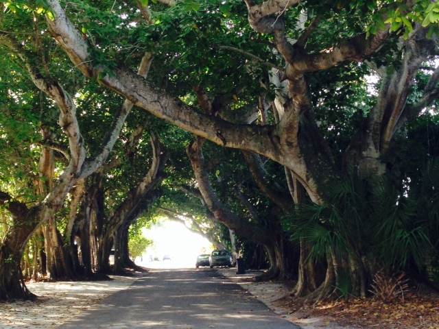
The banyan trees literally create a tunnel through which aptly-named Banyan Road passes.

This is all one interconnected banyan tree in downtown Boca Grande!
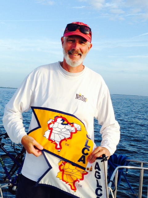
We left Boca Grande and headed for Fort Myers as our next stop on our Great Loop Adventure. Believe it or not, there is actually a non-profit organization that was formed in 1999 which is focused on people who are interested in traveling the Great Loop. Called “America’s Great Loop Cruisers Association”, it provides moral and informational support to those who are traveling or thinking of traveling the Great Loop. They also have available two different types of flags to those who travel the Loop. The first is a white flag that looks like this:
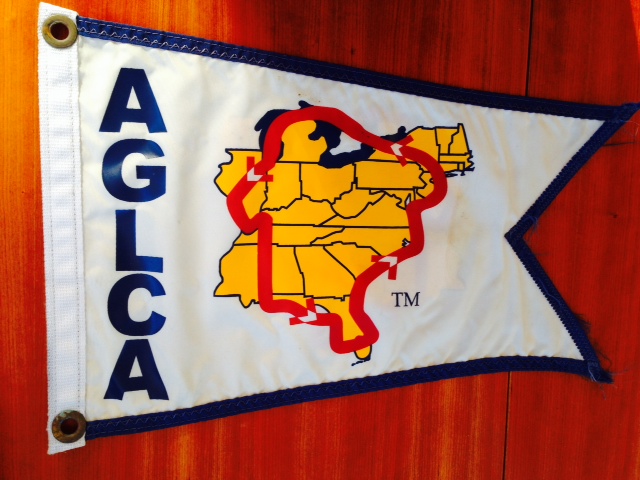
The white Looper flag identifies the vessel as underway on the Great Loop
Virtually all Loopers fly this flag so that we can identify each other, which virtually always leads to an exchange of information, camaraderie, “docktails” (shared cocktails on the dock), and new friendships. However, when one finally completes the entire Loop, referred to as “crossing your wake”, you are entitled to fly a new, gold flag that identifies you as having completed the entire Loop.
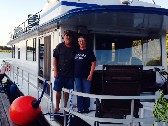
Although we started our current voyage on May 2 of this year, we bought the Joint Adventure in December of 2012 in Port Charlotte, Florida, a few miles from Boca Grande. We then brought her to Boston the following spring, crossing central Florida on the Okeechobee Waterway to the East coast, then transiting the Atlantic Intracoastal Waterway north from Florida to Boston, thus transiting the portion of the Great Loop from Port Charlotte to Boston. Therefore, at 7:55 AM on Saturday, December 6, when we passed the mouth of Charlotte Harbor where we had passed through two years ago nearly to the day, we “crossed our wake” and officially completed our circumnavigation of the Eastern half of the U.S. – the Great Loop. We would have popped open a bottle of Champaign, but we still had to operate the vessel safely for the next 4 hours on our way to Fort Myers. However, we did put it in neutral, exchanged high fives, danced around the deck, and took a few pictures:
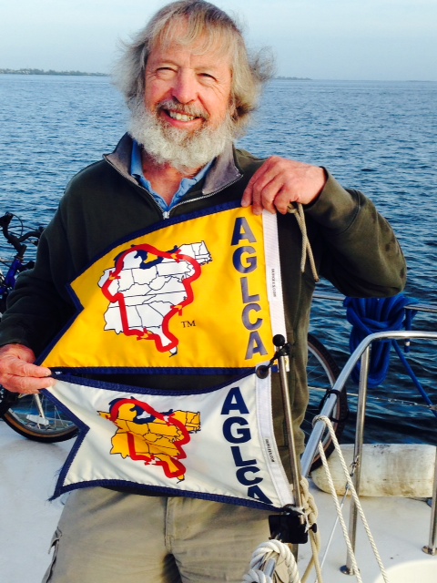
Crossing Or Wake – we took down the white flag and put up the gold one!
While we have officially completed the Great Loop, our current trip has always been Boston to Boston, so on we go!
Our next destination was downtown Fort Myers, about 45 miles away and 15 miles up the Caloosahatchee River. Fort Myers literally started out as a fort along the Caloosahatchee River, built as a base of operations to support the series of wars with the Seminole Indians. Afterwards, during the Civil War, the fort was used as a base for Confederate blockade runners and cattle ranchers, then was abandoned. There was still no permanent settlement at Fort Myers until the first settlers arrived in 1866. Just 20 years later, in 1886 when Fort Myers was still no more than a rustic outpost, Thomas Edison visited and fell in love with the beauty of the place and built his winter estate on the bank of the Caloosahatchee River. However, the settlement hardly grew until a winter resort called the Royal Palm Hotel was built around the turn of the century and a railroad link was established in 1904. In 1914, Edison famously declared “There is only one Fort Myers, and 90 million people are going to find it out”. Shortly thereafter, in 1915, Edison’s close friend and confidante, Henry Ford, built his winter estate next door to Edison’s; the two inventers, along with mutual friend and frequent visitor Harvey Firestone, maker of tires, traded ideas and conducted experiments in Edison’s lab at his home. Today, the Edison and Ford estates are on the National Register of Historic places and are open to the public, along with the fascinating Edison Museum which displays many of his early successful and some unsuccessful inventions.
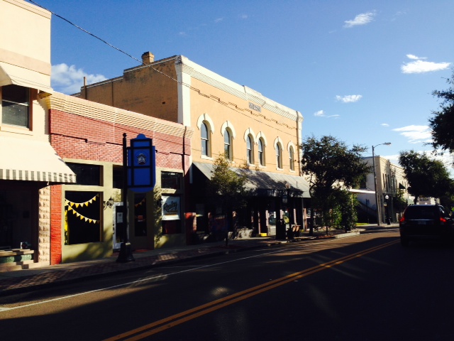
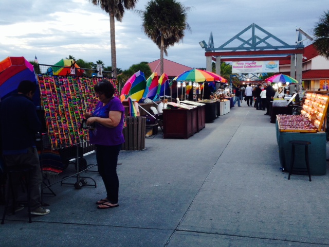
The City of Fort Myers has recently reinvented itself by restoring its downtown area and creating a hub of activity for both tourists and young people looking for night life. Many weekend evenings feature music festivals, art festivals, and other activities in which the streets downtown are closed to traffic and become outdoor pedestrian enclaves. There is a very active arts community, and there are no less than four venues for the performing arts.
Here are some images from our visit to Fort Myers:
This guy knows how to live. He set up shop on one of the several beautiful, uninhabited islands in the Caloosahatchee River on the way to Fort Myers. The river was extremely busy with boat traffic on the warm, sunny Saturday when we steamed up the river, and he watched the parade go by while sipping his drink.

This floating bait shop on the Caloosahatchee River enables one to replenish the bait supply without having to waste valuable fishing time going to shore

The recent restoration of downtown Fort Myers includes brick streets, royal palms, and renovated historic buildings
Sidewalk seating along the downtown streets creates a festive atmosphere, which is alive with pedestrians

The Sidney & Berne Davis Art Center in the heart of downtown is a magnificently restored historic building which hosts live theater, exhibits, and other activities throughout the year

A restaurant/pub called “Ford’s Garage” features a full-sized replica of a model T hanging from the ceiling over the bar. The garage theme is carried into the rest rooms as shown with the unique sinks and faucets
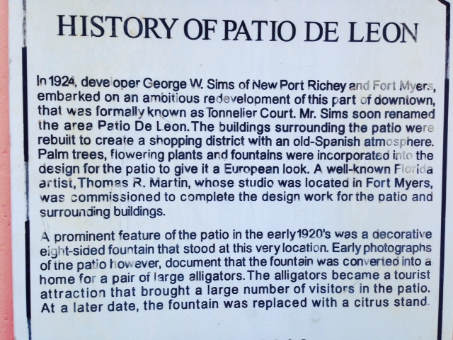
This sign on a downtown fountain explains the interesting history of the fountain
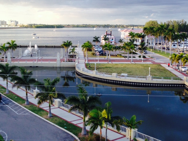
A view of the Caloosahatchee River and the waterfront taken from the 4th floor deck of a downtown restaurant/pub
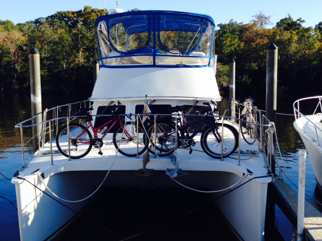
Another view from the 4th floor deck – the Joint Adventure is docked in the City Marina – the blue bimini cover can barely be seen on the right-hand side of the photo
Our final run before docking the boat and returning home for the holidays was to the town of Fort Myers Beach, about 25 miles by water from Fort Myers. The Joint Adventure will stay here until we return from home on January 15 after spending the holiday season with family and friends. Our voyage at that time again changes dramatically, as we leave the protected waters of the Gulf Intracoastal Waterway, which turns eastward up the Caloosahatchee River and through Lake Okeechobee to the East coast of Florida. Instead, we will head south along the open waters of the Gulf once again, headed for the Everglades and the Florida Keys
So the next blog update will likely be sometime in January. In the meantime, please accept my wishes for a wonderful holiday season, and a happy, healthy, and prosperous new year!