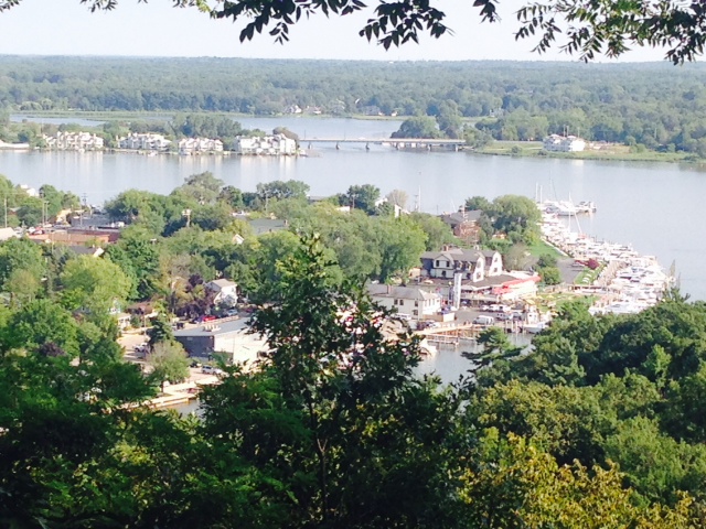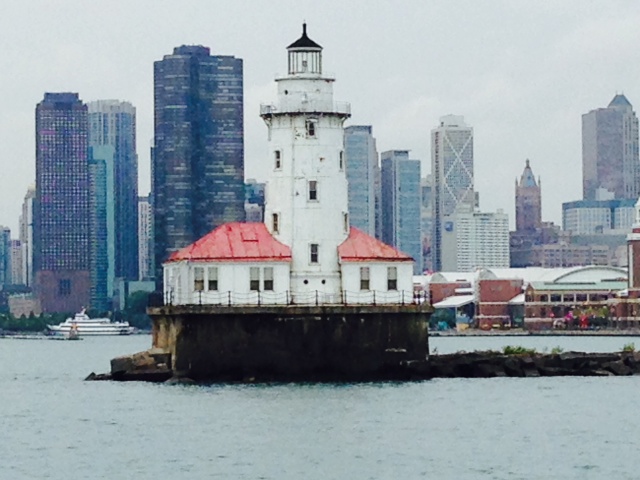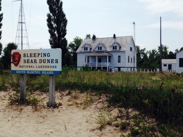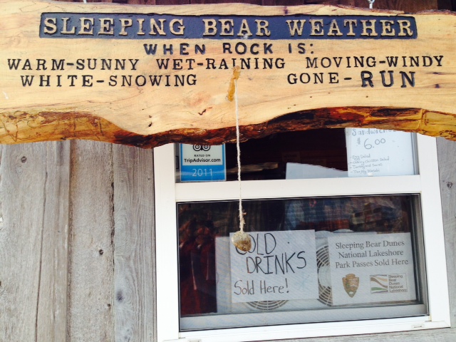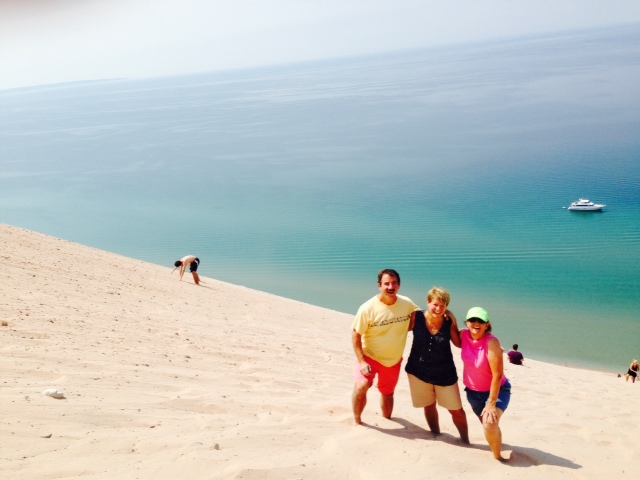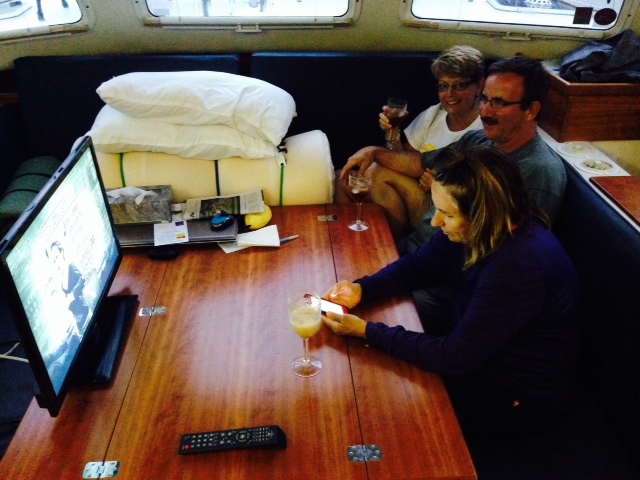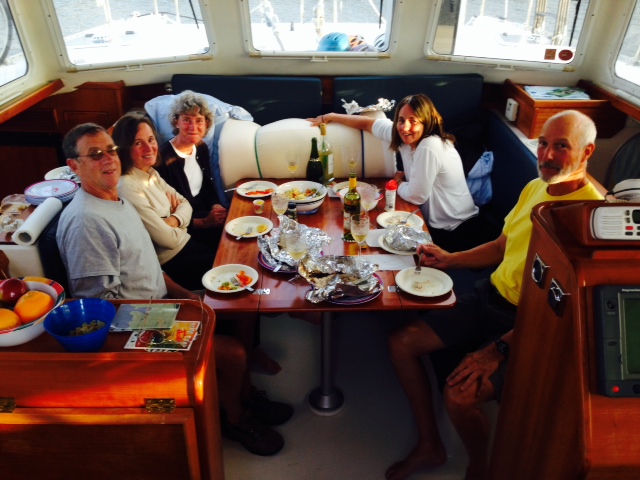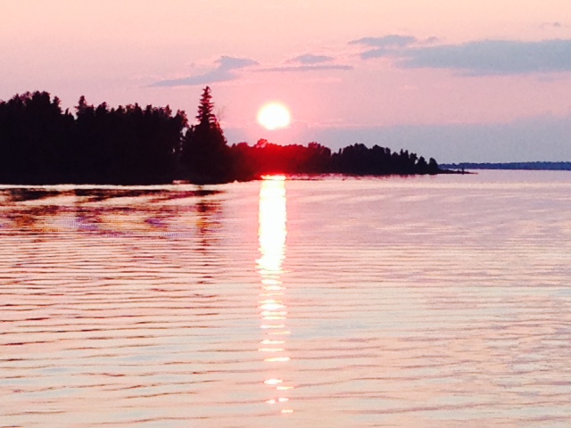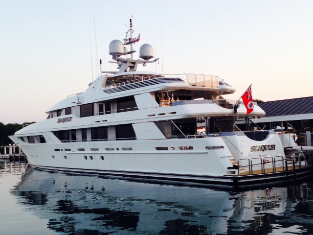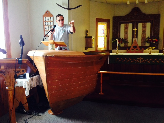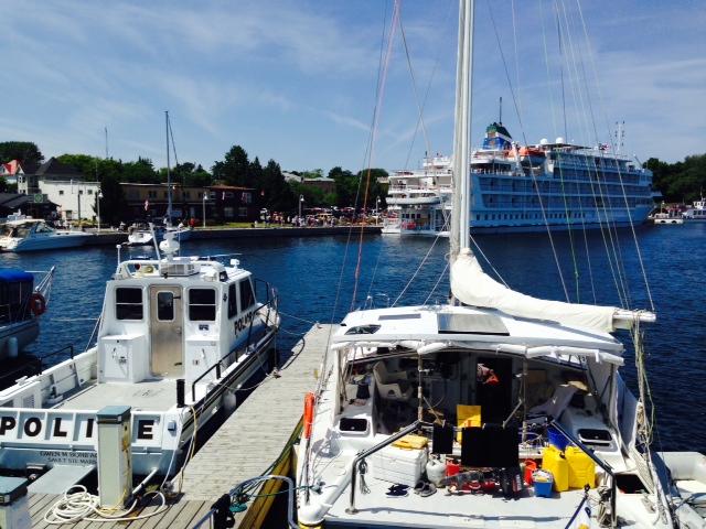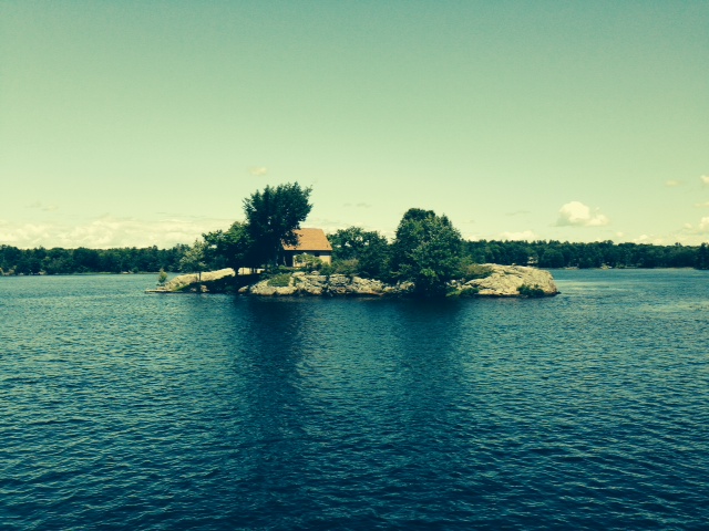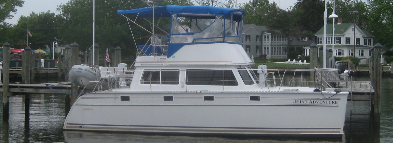
POST # 27 – WE’RE NOT IN KANSAS ANYMORE – Day 127, September 7, 2014. On board: Paul, Tom, Hank (my Dad), and Jim K
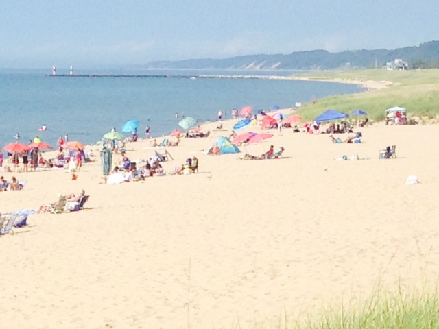
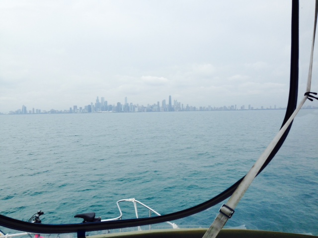
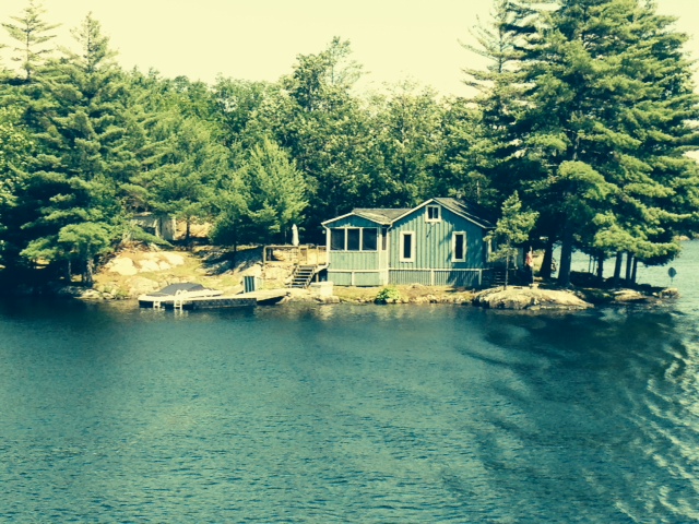
Remember Dorothy’s famous line when she first steps out of her house that has just landed unceremoniously in the Land of OZ – “Toto – I’ve got a feeling we’re not in Kansas anymore”? That’s what it feels like having gone, in one day, from the first part of our trip – pristine lakes, scenic rivers, crystal clear water, resort-type communities, Chicago – to the first inland river, where, on the first day, the landscape was dominated by industry, and commercial tows are king while recreational boats are an afterthought. It was a fascinating but long and challenging first day – we cast off our lines at 7:30 AM but didn’t arrive at our destination 13 miles south of Joliet until it was almost dark, at a quarter to eight.
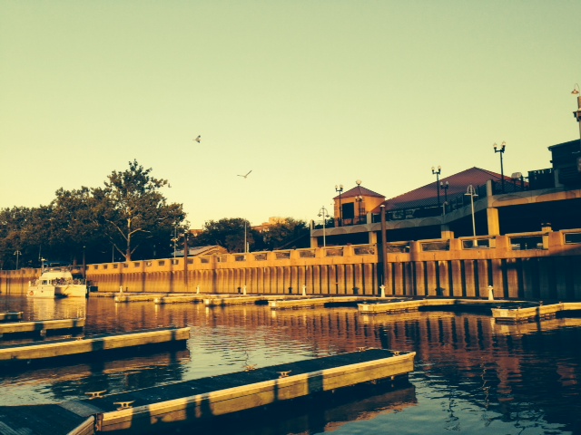
We first went through the harbor and into the lock that separates Lake Michigan from the Chicago River. Our two new crew members hard at work:
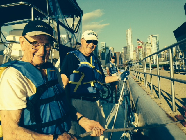
Manning the lines entering the Chicago River: left to right, my Dad (Hank), who turns 90 next month, and Tom, co-owner of the Joint Adventure. Paul is in the background, manning the bow line
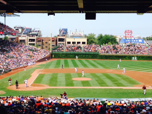
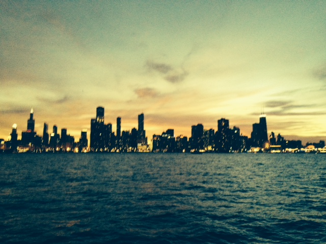
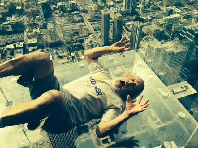
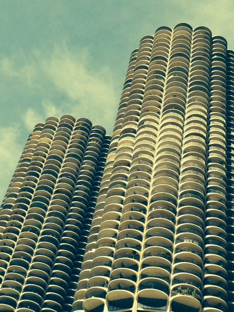
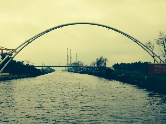
I posted pictures through the City in my last update, so I won’t repeat them here. The run through the City is truly remarkable. After passing through the City, one enters the Chicago Sanitary & Ship Canal (described in my last post), and the landscape turns quite industrial:

One of many industrial operations along the Sanitary & Ship Canal heading south out of Chicago
This is actually a pipeline crossing the Canal. A novel method; I don’t know why they didn’t run the pipe under the canal
Remember the discussion in a previous post about the Asian carp and other invasive species that people are trying desperately to keep from reaching Lake Michigan? The guidebook that we use has the following warning at a location about halfway down the Canal: “A permanent electrical barrier designed to prevent and slow the spread of invasive fish species through the Chicago Sanitary and Ship Canal into Lake Michigan is operational 24 hours a day. All vessels are prohibited from lingering or mooring in the area. Do not enter or put your hands or feet in the water under any circumstances.” YIKES!. Sure enough, when we got there, we saw this sign:

We decided to stay on the boat….
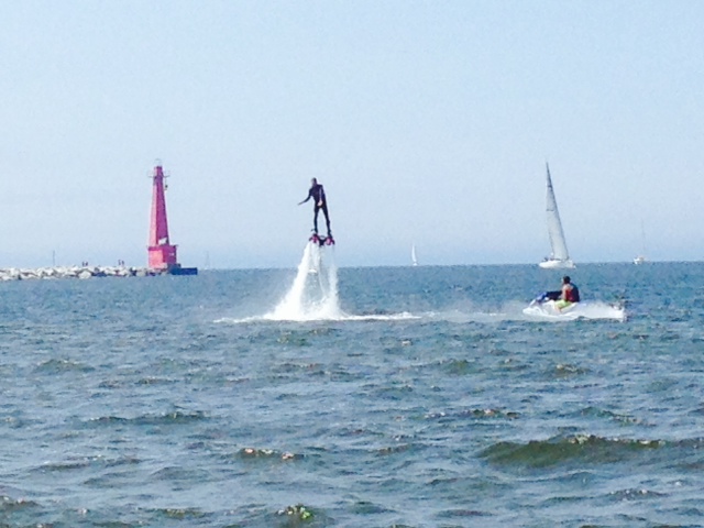
The first “tow” that we encountered was a tug pushing a single barge. What’s the big deal?

Our first “tow” – a tug pushing a single barge.
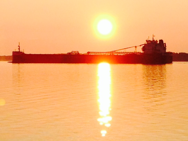
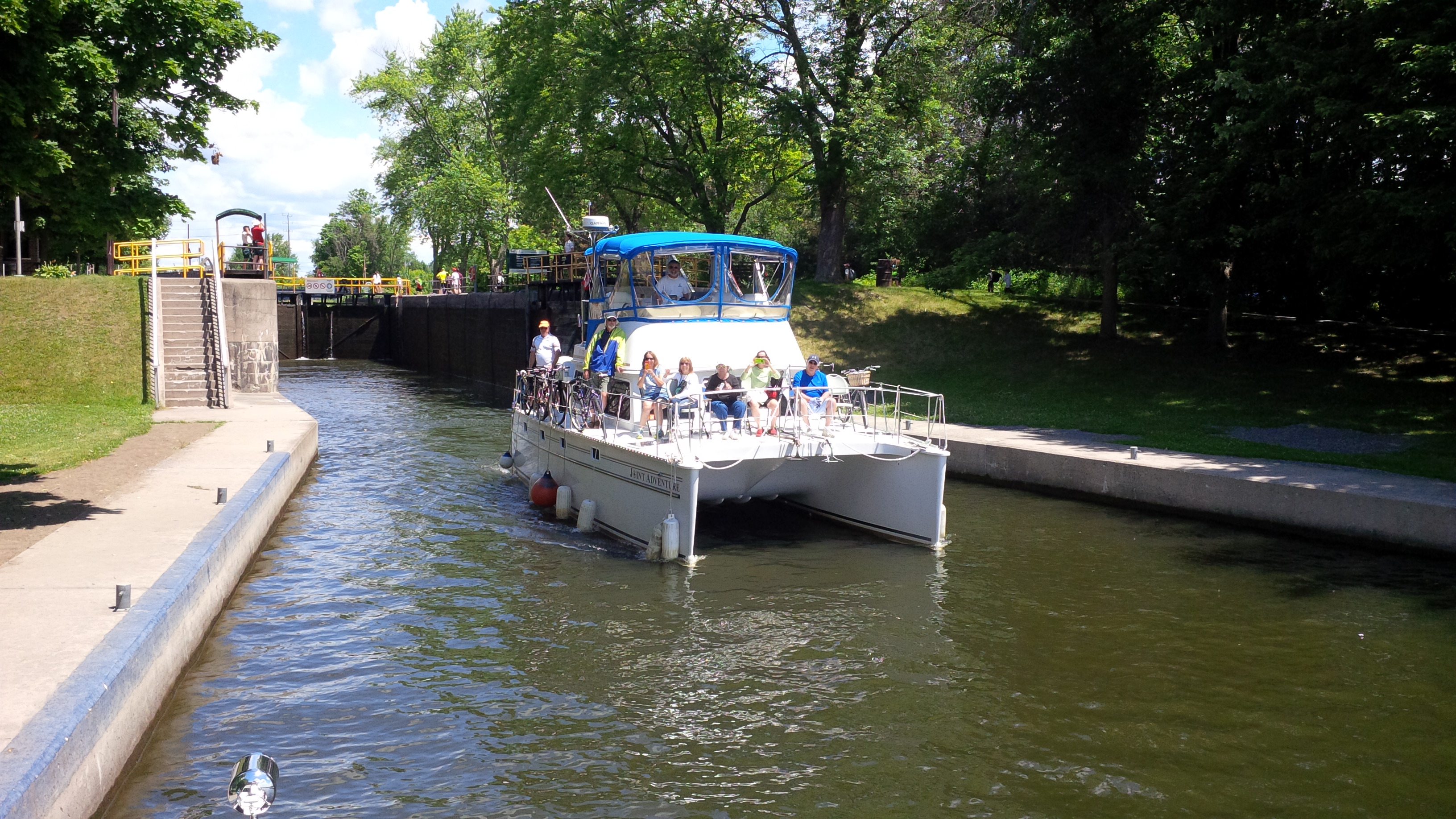
So why did it take us over 12 hours to go 55 miles? After we completed the transit of the Canal, we entered the Illinois River – the first of the Inland Rivers that will take us to the Gulf of Mexico. We quickly learned that when traveling the inland rivers, the dominant obstacles (so far, anyway) are the “tows” and the locks. Incidentally, they are called “tows”, but they are actually a bunch of barges chained together and pushed by a single tugboat from the rear. They range from one barge to a group of up to 42 barges, measuring in length over three football fields!! Forget the rules of navigation – these guys have the right-of-way by default. Anyway, the second obstacle are the locks, the chambers of which are huge – two football fields long – and take up to a half hour to fill or to empty. However, despite the size of the chambers, the tows are still too long to fit in all at once, so they have to break them into two or three groups and lock each group one at a time. Therefore, it can take hours to get a tow through a lock – and, of course, the tows always have priority over us lowly recreational vessels. So we arrived at our first lock to find that the first half of a tow was being raised in the lock, and were told that we could go down when they emptied the lock in order to get the second half of the tow. Seemed reasonable. However, they parked the barges right in front of the entrance to the lock, leaving a narrow, winding path for us to enter the lock:

The barges that just exited the lock were parked immediately in front of the entrance to the lock. We had to pass between the concrete pier and the LaSalle, just a few feet wider than the Joint Adventure, then make a 90 degree turn to the right, then two more ninety degree turns in the narrow passage around the corner of the barge
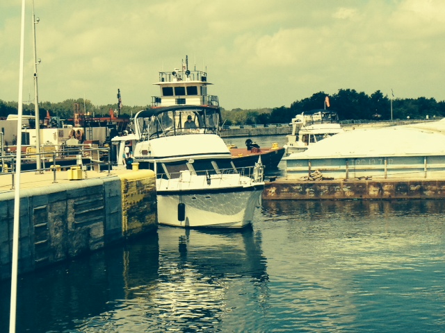
Another boat followed us through the maze into the lock – he scrapped the wall as he tried to pass through between the wall and the corner of the barge, on his starboard (right) side. Despite our wide beam, we were more fortunate and barely fit through unscathed
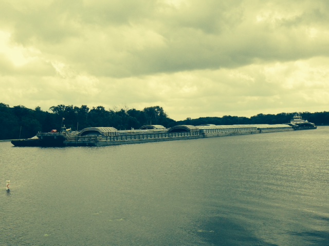
A large tow heading down the Illinois River – this is just one quarter of the size of the larger tows we have yet to meet

The tug that is pushing the “tow” shown in the previous picture – basically it is one enormous engine surrounded by a hull

A tow that we just passed, taken from the stern of the Joint Adventure

This is a tow that is three barges wide, just emerging from a lock. The barge at the center is empty, and therefore riding high in the water, while the barges on either side are full and riding low
After transiting the first lock, we passed through the city of Joliet. There were half a dozen or so drawbridges across the river, and by radioing ahead, each bridge magically opened as we approached it, not even slowing down:

One of the drawbridges opening for us as we approached – the boat in the picture was traveling with us as well

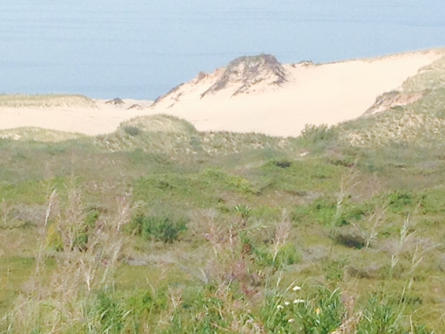
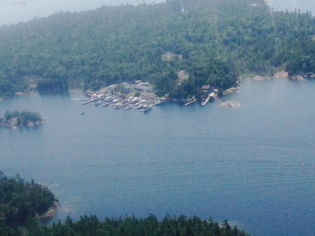
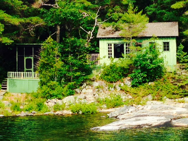
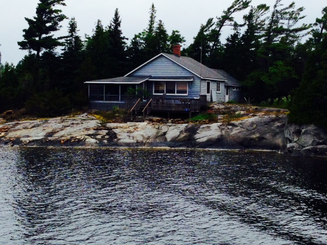
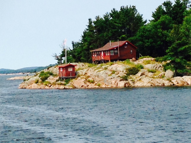
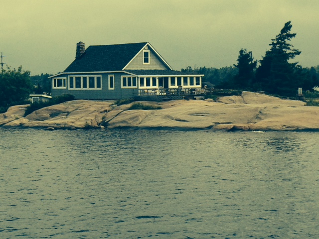
Major floods happen frequently on the inland rivers, including the Illinois River – newer houses are therefore built on stilts, similar to coastal homes in flood-prone areas of New England and elasewhere
Despite the difficulty entering the first lock, we were fortunate in that the entire locking process took about an hour. Not so at our second lock. They were locking through some barges carrying chemicals of some sort so they would not allow anyone else in the lock with the barges. We waited 4 hours to get into the lock, then it took another hour to lock us through, along with the tug. While we waited, we first tied to a barge that was tied to shore awaiting lockage, until it was his turn to go:
Tied to a barge awaiting our turn…
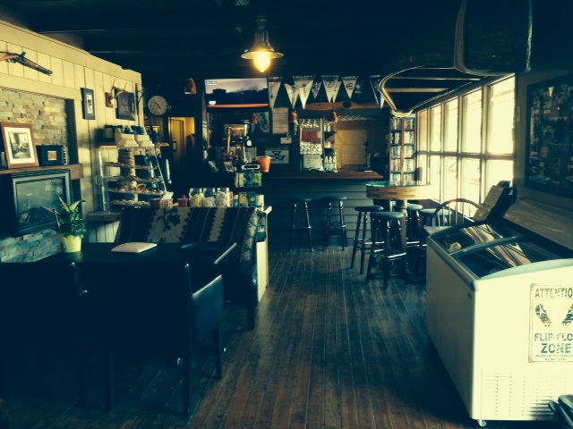
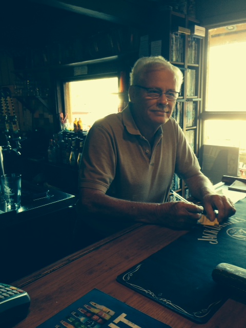
We then tied to a wall next to a local bar (some of the crew felt obligated to patronize the place in return for their hospitality. Not saying who, but…):

They even look guilty…
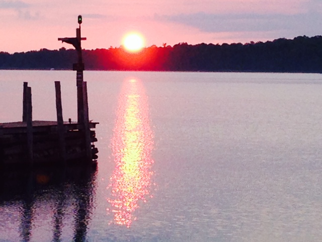
It was 30 minutes until sunset when we finally got through the lock, with about an hour to go to our destination – just enough time to get in at dusk – we did NOT want to travel on the river in the dark, as the buoys are not lighted and it is impossible to see debris floating in the river, which can potentially punch a hole in the hull or damage a propeller. Halfway there, the high temperature alarm sounded – the port engine was overheating. We had passed through a lot of seaweed and other debris over the course of the day, and the cooling system likely had become partially clogged. Rather than try to clean it while underway and end up running in the dark, we shut down the engine and ran mostly on one engine the rest of the way, arriving just as darkness was descending – a dramatic ending to a long, exciting, challenging first day on the Inland Rivers.
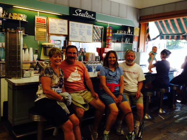
On Tuesday night, we stayed at Harborside Marina, about a mile from the small village of Seneca, Ill. The Marina loaned us their van, so we went to town for dinner, then went into town again to the local “greasy spoon” diner in the morning for breakfast. While we were there, four old retired guys came in and sat near us – classic rural Midwest, it could have been from a Norman Rockwell painting:
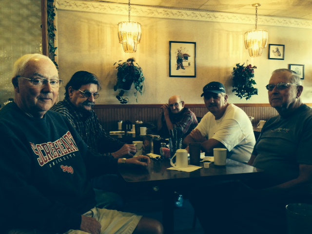
Tom (on the left) fits right in rather well…
They were amazed to hear that we drove a boat to Seneca from Boston. We told them we planned to go through the next lock, then stay at the town dock in Ottawa 15 miles downstream. We arrived in the early afternoon and tied up – 15 minutes later, two of the four old guys showed up at the boat – “We didn’t have a lot on our schedule today, so we decided to watch you go through the lock. You were already through when we got there, so we drove down here.” So we gave them a tour, they drove us to the store, and we again enjoyed the “local color”:
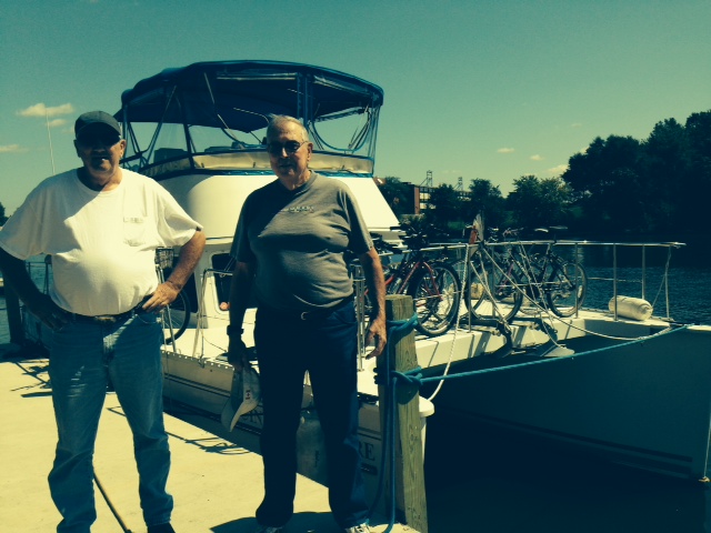
Bob & Dana were full of stories of growing up along the river in rural Illinois
A few more pictures from our stay in Ottawa:

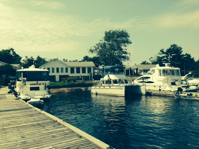
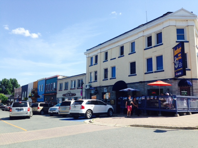
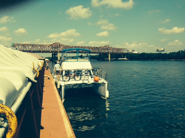
The Joint Adventure at the free municipal dock in Ottawa – a short walk along the riverfront park brings you to Main Street

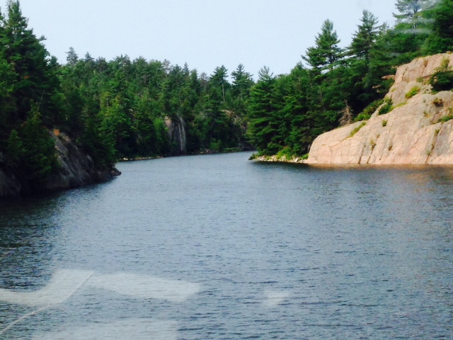
The Illinois River, taken from the bridge in Ottawa

Now here is a motto I can live by…
I know tourists wanting an “authentic souvenier” can be gullible, but….how many of these do you think they actually sell???

An incredible mural on the side of a long building in downtown Ottawa
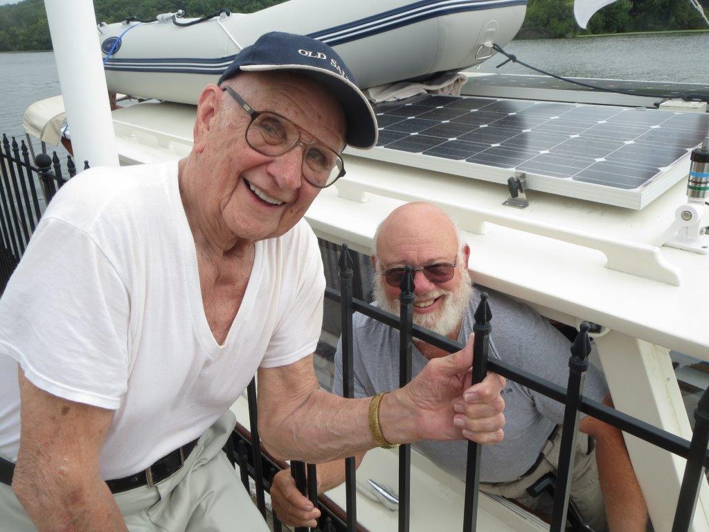
Henry & Henry – my Dad Henry and fellow looper Henry from the boat Dee Dee, whom we meet periodically at various stops along the way –
Back to the Asian Carp – in Ottawa, while enjoying the scenery, we were treated to the sight of several large (1-2 feet) Asian Carp literally jumping out of the water straight up three or four feet – I saw half a dozen and Paul saw 50-75 jump up all at once. Later, while waiting out a lightning storm, we happened upon a specially-built boat and crew from the US Fish & Wildlife Agency who were “fishing” for the Carp on an experimental basis. They explained that the Carp jump when something startles or agitates them, and often when one jumps, it causes others to jump as well – hence a whole school of them jumping at the same time. The Asian Carp are now beginning to be fished commercially, the catch being sold to China where the Carp are eaten or used for fertilizer. Some fisherman literally drive around at high speeds, sometimes in circles, with nets sticking out in front of their boat, looking for schools of the carp. The boat agitates the fish, causing them to jump, hopefully into the nets. Others use gill nets to trap the fish. The Fish & Wildlife guys had a specially built boat (picture below) with an electrical generator. When they find a school of fish, they send an electrical shock into the water, which causes them to jump – they try to catch the fish in the nets as they jump. At times, they have caught up to 300-400 fish in minutes. The purpose of all this is two-old: (1) to thin the population of the carp in the northern section of the Illinois to reduce the chances that they get through the electric fish barrier, and (2) to try to develop an efficient method of catching the carp to create an ecconomical commercial fishery for the carp. Incidentally, they said that the fish is quite good to eat, but that the American public can’t get by the name “carp”. He suggested we look in local restaurants for “Mississippi silver fish” or other fancy names we haven’t heard of – it will likely be Asian Carp.
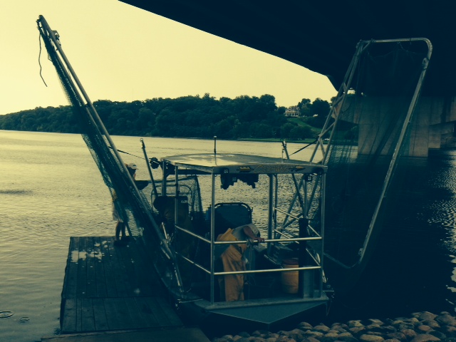
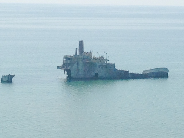
The custom-built experimental Asian Carp “fishing boat”. The “wings” are the nets in an upright position – they are lowered on each side when the boat is underway
I actually have a video that one of our fellow loopers took of the experimental boat shocking the Carp and causing them to jump. I was unable to figure out how to add the video into the blog, however, so I’ll try to send it out separately.
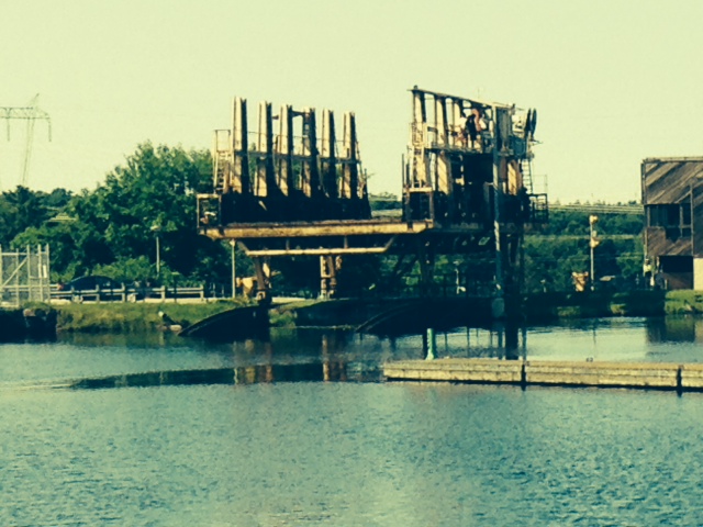
Our next stop was Henry’s Marina, built next to an old abandoned lock. A couple of pictures:

The “dockage” at Henry’s Marina entailed simply tying to the rock wall of the old abandoned lock, built nearly 100 years ago, used for two years, then abandoned
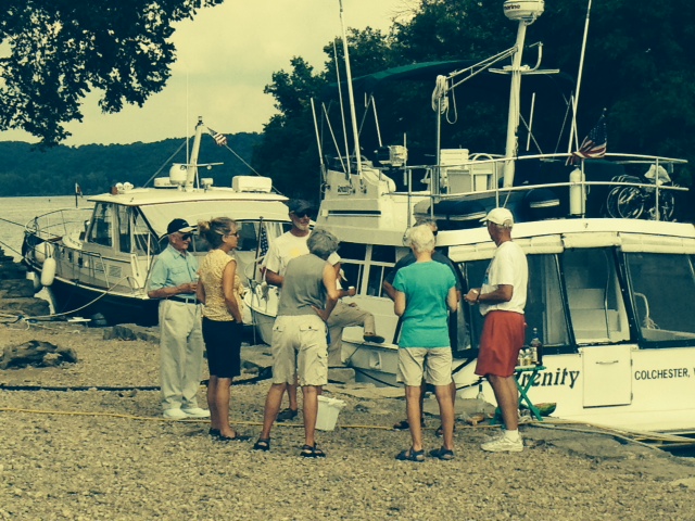
Five “looper” boats all pulled into Henry’s around the same time in the afternoon, so there was an impromptu “Happy Hour Dock Party” on the rocks of the old lock next to the boats
The next night, we stayed at the Peoria City docks, immediately adjacent to downtown. The city is perhaps twice the size of Springfield, Ma. and is clean, attractive, and has a vibrant waterfront:
The Joint Adventure tied to the city docks in downtown Peoria, Ill.
It is the world headquarters of the Caterpillar Company, a worldwide supplier of construction equipment and diesel engines. A picture from our tour of the Caterpillar Museum:

This is a full-sized replica of the largest truck manufactured in the world, made by Caterpillar. The tires are 14 feet in diameter and it has to be shipped in pieces and assembled on site – it takes 6 rail cars to deliver all the pieces. Fully loaded, the combined weight of the vehicle and load is over 1 million pounds
We also went to the new Waterfront Museum which opened just a year ago, and focuses on the rich history of the Illinois River and of Peoria itself. Prior to Prohibition, the economy Peoria was centered on the production of whiskey, which was the city’s primary export.
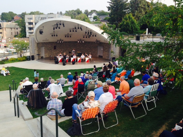
Saturday evening, the waterfront was alive with no fewer than three free music concerts at various locations along the river. The last one that I visited was by a group called Too White Crew, which had a troupe of 12 male and female singers and dancers:

I happened to snap a picture of the female dancers…
Peoria is about halfway down the Illinois River – halfway by water between Chicago and St. Louis. The lower half is more rural with fewer facilities as we continue south, so the next week or two will be quite interesting as we continue our journey south.