Post # 30 – SEE YOU ON ONE WHISTLE – Day 141, September 21, 2014 – On board: Tom, Paul, my Dad, Jim K
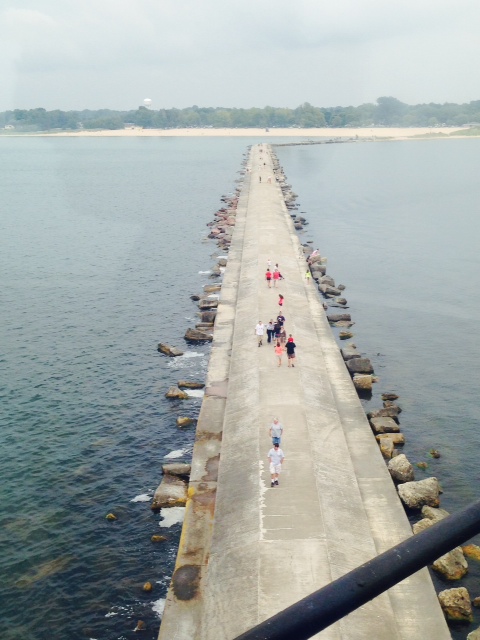
The Mississippi continued to flex her muscles and let us know who was boss the entire 218 miles of our time with her. In fact, another danger surfaced in addition to the debris, the strong currents, the turbulence, and the ubiquitous tows – we encountered a half dozen or so buoys that were pulled under the surface by the high water and the fast currents. At one point, we were approaching a red buoy, looked away, then a moment later, it was completely gone. At first we couldn’t understand what had happened, then suddenly it popped back up in front of us. Others were completely under water, the only evidence being extreme turbulence on the surface of the water, somewhat like the turbulence that a barely-submerged rock makes in the rapids of a swift-moving creek. Making matters more dangerous, the locations of floating buoys on the Mississippi are NOT marked on the charts because they need to be moved so frequently to mark the shifting channel, so there is no way to know where one might be other than extreme vigilance looking for signs of them underwater. Further, many have been moved randomly out of position by the floodwaters. One of these, obviously, will ruin your whole day if you hit it, since they can tear the propeller out or punch a whole in the hull.
Some images from the Mississippi:

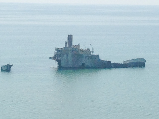
Hard to tell from the picture how fast the current is running, but this is the type of large steel buoys that were pulled completely under water by the high water and strong current, just waiting to punch a whole in someone’s hull

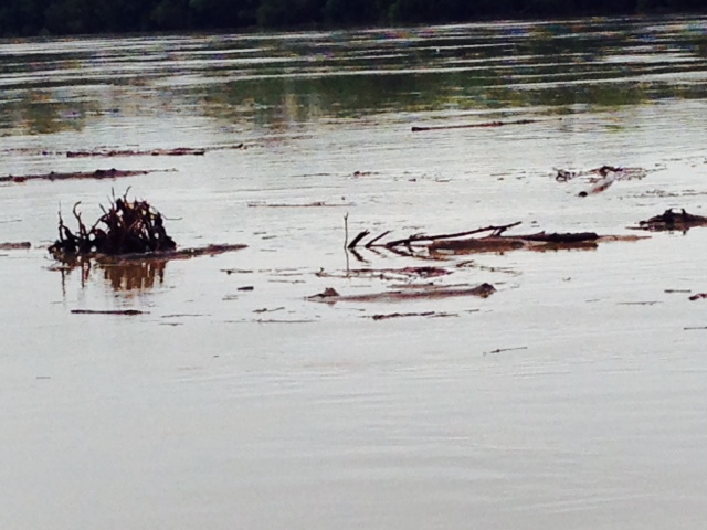
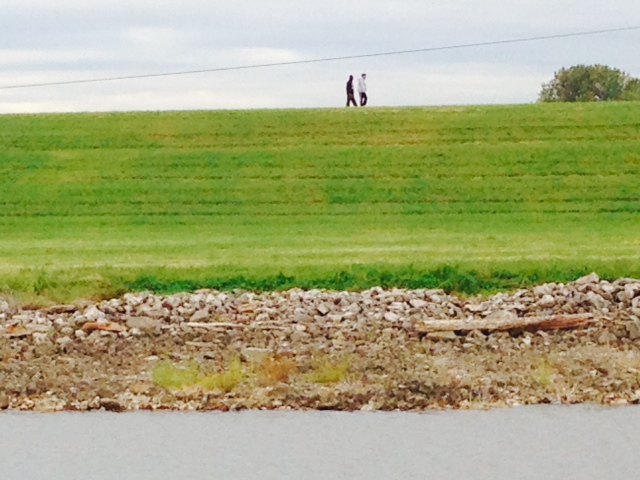
Some of the debris from the river that has been pushed ashore – this shows the size and magnitude of some of the stuff that we dodged every day while on The Big Muddy
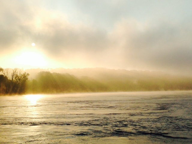
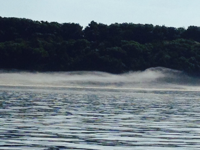
An added challenge one morning when we left at first light was morning fog on the Mississippi – we had to navigate by radar until the sun burned off the fog. It was that much more difficult to see the debris in time to avoid it, so we poked along at a very slow speed
A day after we passed a town called Chester, a tugboat sank at that location at about 1:00 in the afternoon. We spoke to one of our fellow loopers who passed through shortly after the boat sank. He monitored the radio as helicopters hovered overhead and as the Coast Guard discussed whether or not to close the river to traffic. He slipped past, and a short time later they closed the river to boat traffic since they could not locate the sunken tugboat in the muddy, fast-flowing water. A light oil slick from the tug’s 3500 gallon fuel tank then accompanied him the rest of the way down the Mississippi.
So our four-day run down Old Muddy was difficult and downright scary at times. Many boats that did the same 218 mile run damaged their propellers or worse during this stretch. One got a large branch wedged in his prop and had to limp along on one engine until he reached an anchorage off the river where he could dive below and remove the branch. Everyone’s opinion of the Mississippi River run was the same – the most difficult segment of the trip and glad to get off the river. That being said, it’s important to note that the conditions were far from normal and were caused by very unusual flood conditions far upstream. I don’t know what the Mississippi would be like under normal conditions – obviously much more benign than we encountered, but likely still a challenge due to the volume of water from its huge drainage basin.
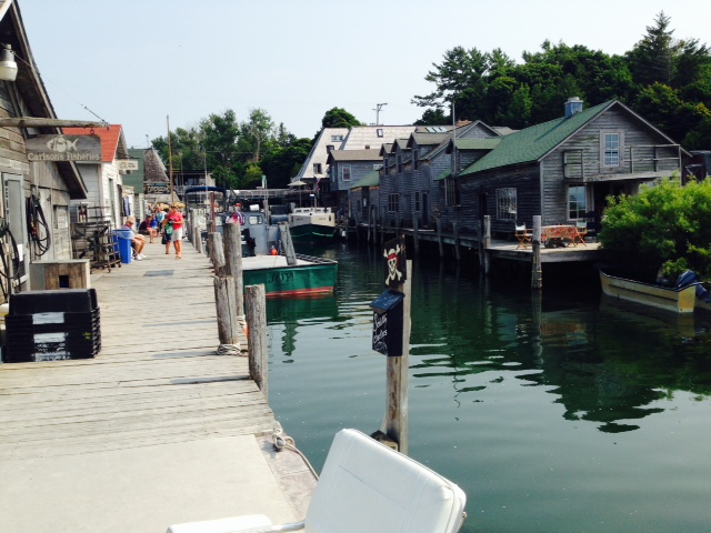
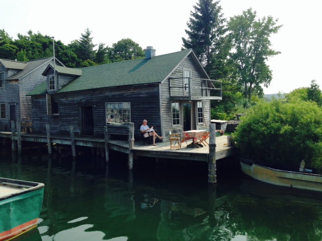
Contrast the experience running down the river with our overnight stays along the river. We spent our second night tied to the wall of a lock on the Kaskaskia river, about 100 yards from where it empties into the Mississippi. It was a quite, calm, secure place to stay, and was a welcome respite from the chaos of the Mississippi such a short distance away. Here are a few images:
Tied to the lock wall on the Kaskaskia River, about 100 yards in from the Mississippi – three other boats were tied up with us
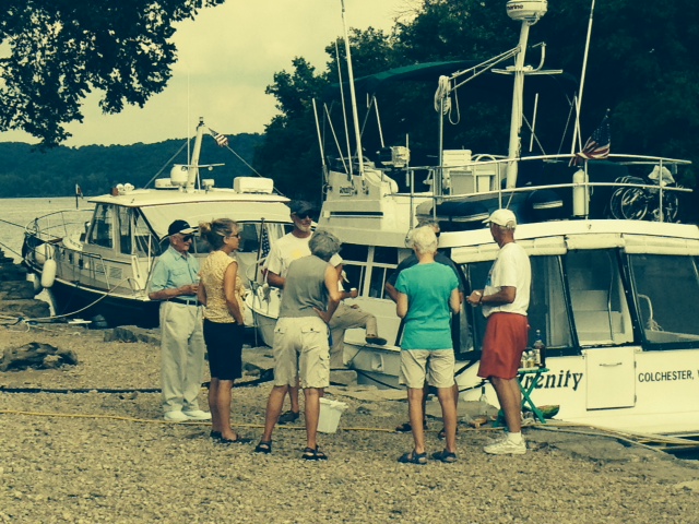
Out came the chairs, some snacks, and some spirits for an impromptu happy hour dock party with our new acquaintances from the other boats tied to the wall. Interesting stories, as one guy was a former airline pilot and another was a helicopter pilot. The guy on a boat we met earlier along the trip was an F-4 Phantom fighter pilot in the Viet Nam war
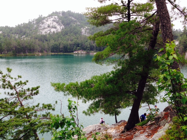
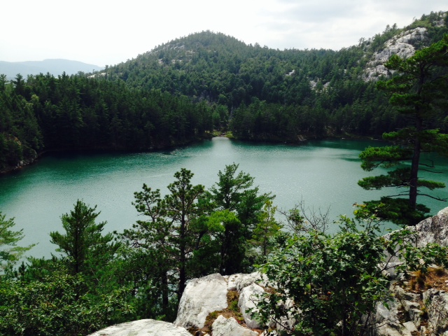
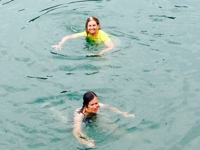
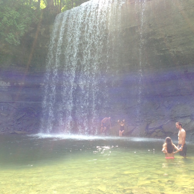
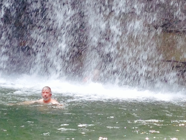
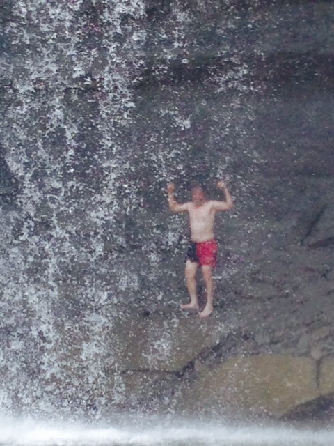
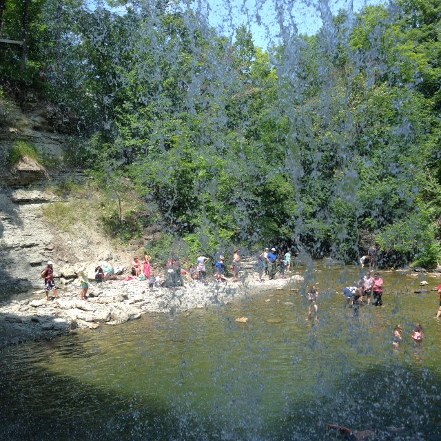
Our third night on the Mississippi was spent anchored a short way up the mouth of a creek called Little Diversion Creek. It was a beautiful evening with warm temperatures and virtually no wind. Here are some images:

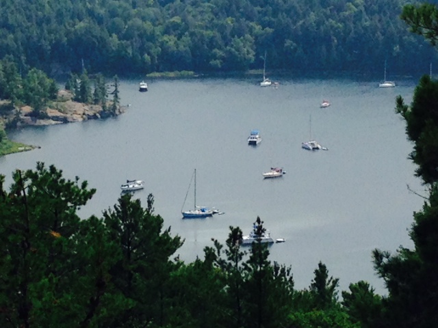
The Joint Adventure anchored in Little Diversion Creek. The Mississippi is in the background, through the opening in the trees

Two other boats entering Little Diversion Creek to anchor for the night as well

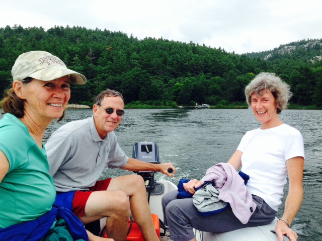
Tom and my Dad in the dinghy in Little Diversion Creek – we went exploring up the creek later in the afternoon

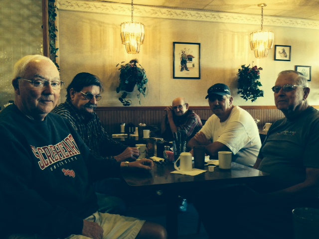
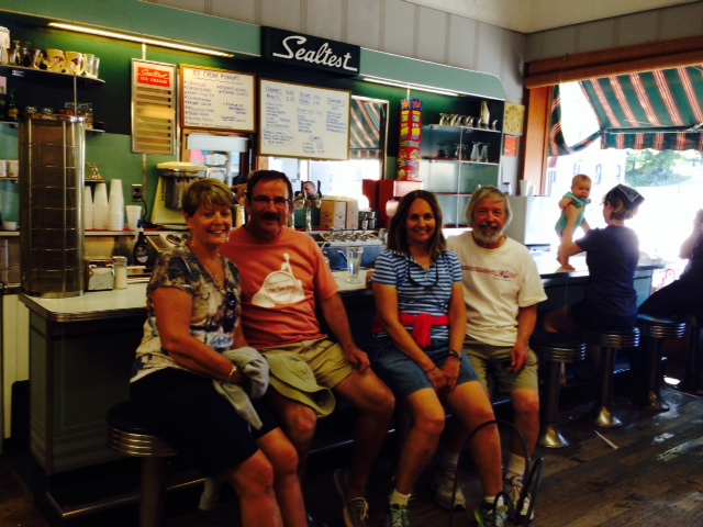
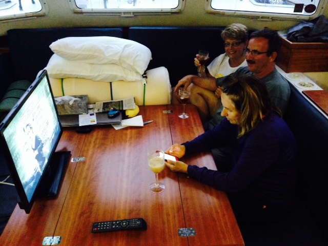
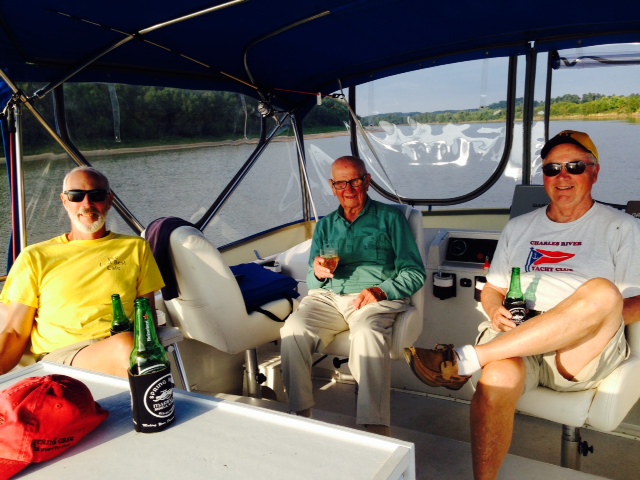
If we’re not near a town, a restaurant, or other place to visit, we often watch a movie on board, either streamed from Netflix if we have internet service or one of the 50 or so DVD’s we have on board. This evening, we played cards for a change of pace – I lost (as usual). Left to right, Paul, Hank (my Dad), and Tom

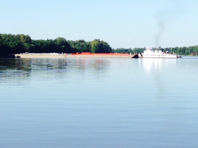
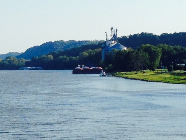
Another image of the Joint Adventure at anchor, taken from the dinghy. Notice the tug pushing its barges in the background, heading up the Mississippi
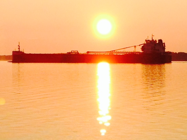
Incidentally, these tows run 24/7. When we’re in a location along the river’s edge, such as tied to the barges at Hoppies as described in my last post, we’re sometimes startled by an enormously bright light illuminating the entire cabin. It’s one of the two huge spotlights from a tow shining forward searching for buoys, the shoreline, and other landmarks as they navigate their way slowly up or down the river in the darkness. It is surreal, and a sight to behold.
After we left Little Diversion Creek, we resumed our march south another 50 miles, where we finally completed our run down the Mississippi and turned eastward up the Ohio River. It was like a different planet. As soon as we turned the corner, the water was clear, there was no debris whatsoever, and the current was a comparatively calm 1-2 knots. We ran 60 miles up the Ohio to the mouth of the Cumberland River, where we anchored for the night in a small cove in Kentucky:
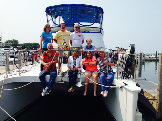
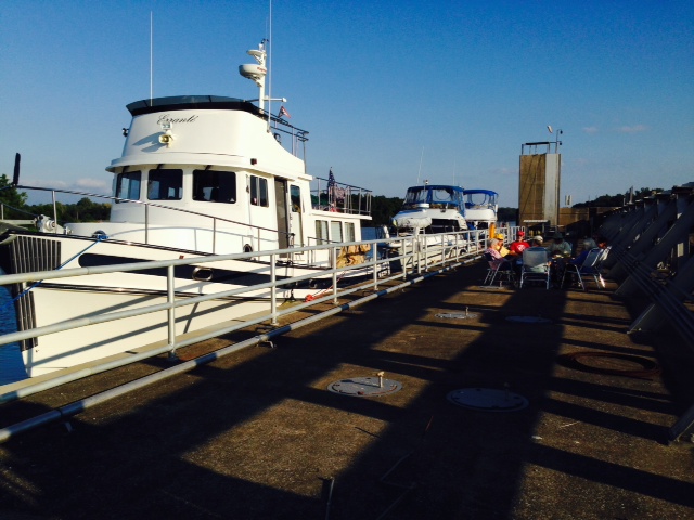
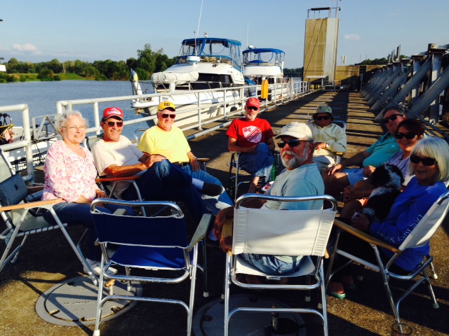
Happy hour on the bridge after the anchor was set, celebrating our completion of the Mississippi River run
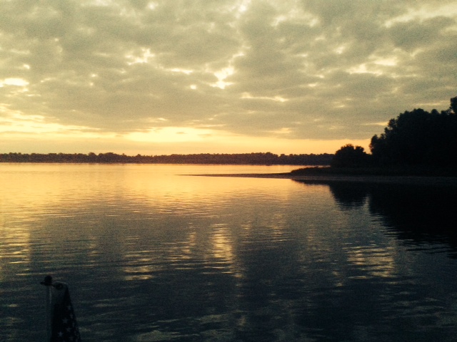
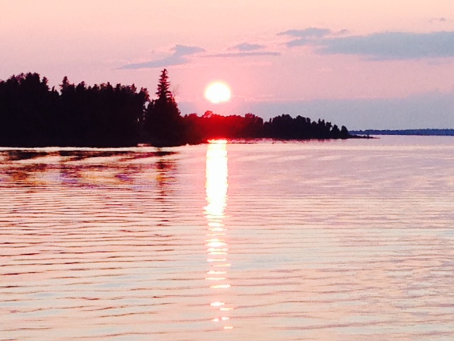
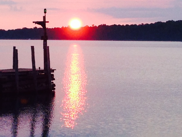
Sunset over the Ohio River – from our anchorage in Kentucky, looking west over the Ohio
On Friday we left the Ohio and headed up the Cumberland River, our fourth inland river on our march toward the Gulf. When we reached the town of Grand Rivers, Kentucky, we finally re-joined civilization after our 250 mile, 5-day run with no shore-based services. We decided to stay a couple of days – the town is on Barkley Lake, a vacation/resort area formed by a monstrous dam on the Cumberland. We are definitely in Kentucky:
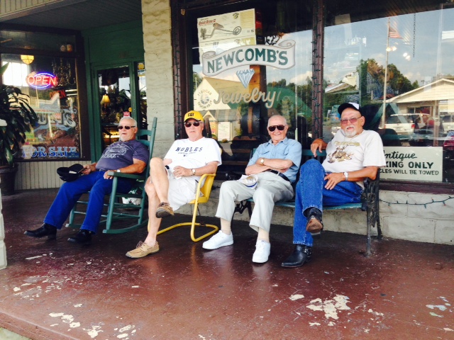
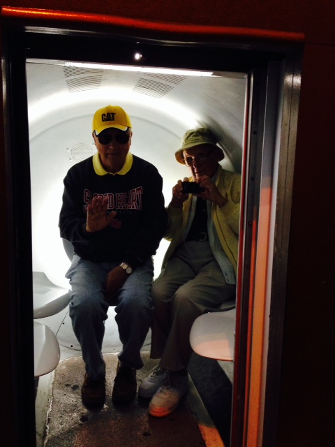
Tom & my Dad, pretending to fit in with the Good Ole Boys, who rode in on their motorcycles.

Yes, we are definitely in Kentucky –
We rented a golf cart to get around – they can be operated on the public roads within a limited area, so we could get back and forth between the marina/resort and town:

The local news reported four escapees from the local nursing home on the loose and attempting a get-away….

Not sure how they found us – our cart blended in perfectly with other vehicles parked at the local ice cream parlor…we never thought they’d look for us there.
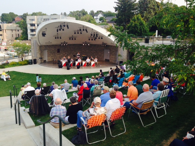
On Saturday night, we bought tickets to a performance at the local Performing Arts Theater of a folk/county group from Nashville consisting of three sisters, called Carter’s Chord:

Two of the three sisters in Carter’s Chord – the other was seated behind the piano, so isn’t in the picture. The performance was excellent!

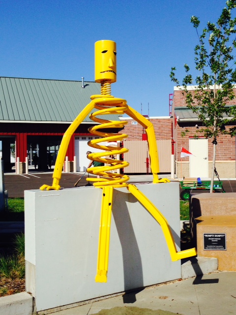
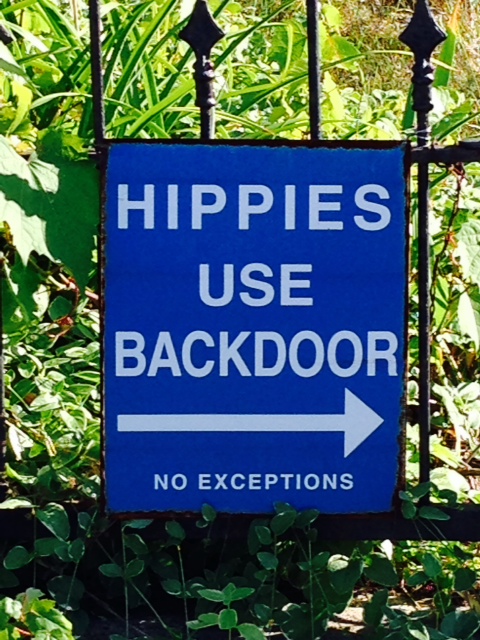
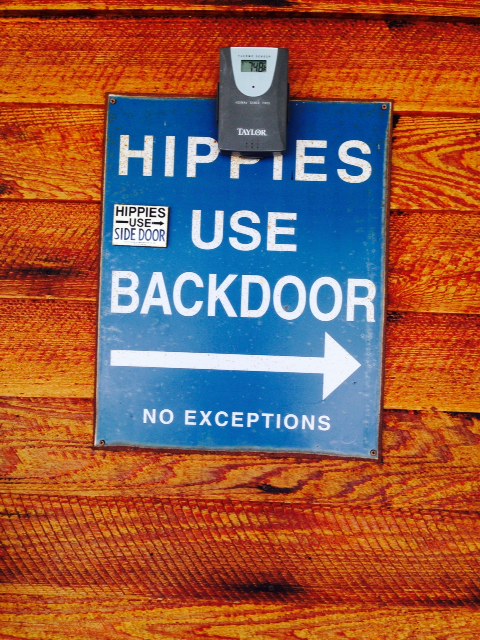
I never could quite figure out what to ask for – too bad I didn’t see this sign years ago…
So what’s this about “One Whistle”? In the early days of river navigation, there were, of course, no radios. So a set of conventions developed in which the captains of ships approaching or trying to pass one another could communicate their intentions to each other audibly using the whistles on their ships. One whistle meant “I will pass you on my port side”, and two whistles meant “I will pass you on my starboard side”. The other vessel would respond in appropriate fashion to confirm the understanding. Old habits die hard. When radios came into common use, the captains at that time were used to whistles – so instead of actually using their whistle, the captain would tell the other captain over the radio the number of whistles he would have sounded to convey his intention – thus, instead of saying “I’ll pass you on my starboard side”, he would simply say over the radio “One whistle”. The convention continues today – so when we are approaching or asking for instructions to pass a tow, the captain of the tow will say simply “One whistle” or more typically the convention has become “I’ll see you on one whistle” or simply “I’ll see you on the one”. The captain expects you to know what that means – and you’d better know!